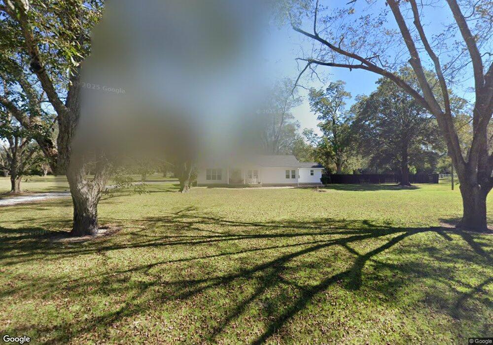
2420 Dorothy St Waycross, GA 31501
Estimated Value: $192,000 - $214,000
--
Bed
3
Baths
1,680
Sq Ft
$121/Sq Ft
Est. Value
About This Home
This home is located at 2420 Dorothy St, Waycross, GA 31501 and is currently estimated at $203,439, approximately $121 per square foot. 2420 Dorothy St is a home located in Ware County with nearby schools including Center Elementary School, Waycross Middle School, and Ware County High School.
Ownership History
Date
Name
Owned For
Owner Type
Purchase Details
Closed on
Oct 29, 2021
Sold by
Williamson Debra
Bought by
Simmons Franklin Sean
Current Estimated Value
Purchase Details
Closed on
Oct 12, 2007
Sold by
Cannon Samuel Mcclennon
Bought by
Ray Michael S
Home Financials for this Owner
Home Financials are based on the most recent Mortgage that was taken out on this home.
Original Mortgage
$64,800
Interest Rate
6.26%
Mortgage Type
New Conventional
Purchase Details
Closed on
Mar 15, 2007
Sold by
Cannon Samuel Mcclennon
Bought by
Cannon Sanuel Mcclennon and Anderson Sharon Cecilia Cannon
Create a Home Valuation Report for This Property
The Home Valuation Report is an in-depth analysis detailing your home's value as well as a comparison with similar homes in the area
Home Values in the Area
Average Home Value in this Area
Purchase History
| Date | Buyer | Sale Price | Title Company |
|---|---|---|---|
| Simmons Franklin Sean | $52,000 | -- | |
| Ray Michael S | $72,000 | -- | |
| Cannon Sanuel Mcclennon | -- | -- |
Source: Public Records
Mortgage History
| Date | Status | Borrower | Loan Amount |
|---|---|---|---|
| Previous Owner | Ray Michael S | $64,800 |
Source: Public Records
Tax History Compared to Growth
Tax History
| Year | Tax Paid | Tax Assessment Tax Assessment Total Assessment is a certain percentage of the fair market value that is determined by local assessors to be the total taxable value of land and additions on the property. | Land | Improvement |
|---|---|---|---|---|
| 2024 | $1,666 | $80,150 | $12,384 | $67,766 |
| 2023 | $1,561 | $45,332 | $4,290 | $41,042 |
| 2022 | $1,055 | $44,933 | $3,891 | $41,042 |
| 2021 | $951 | $34,487 | $3,891 | $30,596 |
| 2020 | $945 | $33,505 | $3,891 | $29,614 |
| 2019 | $860 | $28,591 | $3,891 | $24,700 |
| 2018 | $836 | $27,608 | $3,891 | $23,717 |
| 2017 | $835 | $27,608 | $3,891 | $23,717 |
| 2016 | $835 | $27,608 | $3,891 | $23,717 |
| 2015 | $843 | $27,608 | $3,891 | $23,717 |
| 2014 | $842 | $27,608 | $3,891 | $23,717 |
| 2013 | -- | $27,608 | $3,891 | $23,716 |
Source: Public Records
Map
Nearby Homes
- 705 E Waring St
- 2784 Autumn Ridge Ln
- 904 Golfview Dr
- 1408 Bethune St
- 135 Morgan St
- 1013 E Waring St
- 0000 Lejune Rd
- 1410 Hazel St
- 0 Ash Dr
- 109 Hebard St
- 2350 Edgewood St
- 220 E Blackshear Ave
- 121 Union St
- 1407 Hazel St
- 122 Hopkins St
- 2123 Sunnyside Dr
- 1301 Riverside Ave
- 515 Summit St
- 1953 State St
- 0 Fluker St
- 2414 Dorothy St
- 2410 Dorothy St
- 2417 Dorothy St
- 2503 Dorothy St
- 910 Cherokee Ave
- 801 E Waring St
- 803 E Waring St
- 715 E Waring St
- 805 E Waring St Unit 1
- 805 E Waring St
- 2525 Dorothy St
- 2526 Dorothy St
- 807 E Waring St
- 720 E Ware St
- 709 E Waring St
- 811 E Waring St
- 2300 Adams St
- 703 E Waring St
- 918 Cherokee Ave
- 708 E Waring St