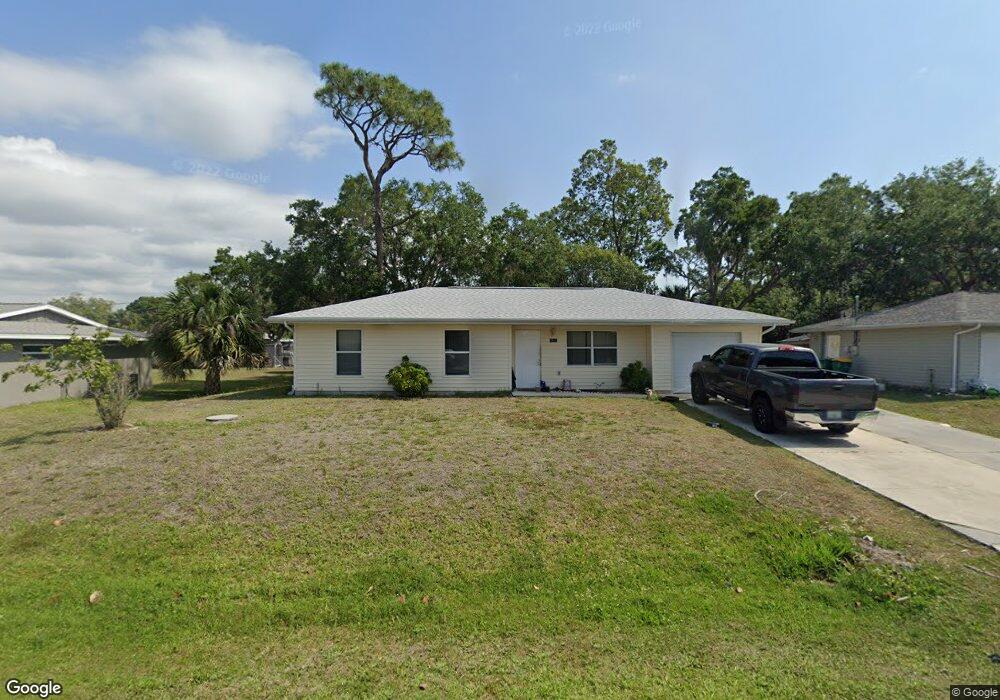
2420 Duke Ln Port Charlotte, FL 33952
Estimated Value: $179,424 - $240,000
2
Beds
2
Baths
984
Sq Ft
$214/Sq Ft
Est. Value
About This Home
This home is located at 2420 Duke Ln, Port Charlotte, FL 33952 and is currently estimated at $210,106, approximately $213 per square foot. 2420 Duke Ln is a home located in Charlotte County with nearby schools including Peace River Elementary School, Port Charlotte Middle School, and Port Charlotte High School.
Ownership History
Date
Name
Owned For
Owner Type
Purchase Details
Closed on
Jun 21, 2000
Sold by
Charlotte Cty Habitat For Humanity Inc
Bought by
Lamont Sharron N
Current Estimated Value
Home Financials for this Owner
Home Financials are based on the most recent Mortgage that was taken out on this home.
Original Mortgage
$45,000
Outstanding Balance
$16,327
Interest Rate
8.63%
Estimated Equity
$193,779
Purchase Details
Closed on
Apr 10, 1996
Sold by
Bahr Robert E
Bought by
Charlotte Cty Habitat For Humanity Inc
Create a Home Valuation Report for This Property
The Home Valuation Report is an in-depth analysis detailing your home's value as well as a comparison with similar homes in the area
Home Values in the Area
Average Home Value in this Area
Purchase History
| Date | Buyer | Sale Price | Title Company |
|---|---|---|---|
| Lamont Sharron N | $67,500 | -- | |
| Charlotte Cty Habitat For Humanity Inc | -- | -- |
Source: Public Records
Mortgage History
| Date | Status | Borrower | Loan Amount |
|---|---|---|---|
| Open | Lamont Sharron N | $45,000 |
Source: Public Records
Tax History Compared to Growth
Tax History
| Year | Tax Paid | Tax Assessment Tax Assessment Total Assessment is a certain percentage of the fair market value that is determined by local assessors to be the total taxable value of land and additions on the property. | Land | Improvement |
|---|---|---|---|---|
| 2023 | $2,677 | $102,462 | $0 | $0 |
| 2022 | $2,404 | $129,727 | $14,450 | $115,277 |
| 2021 | $2,074 | $84,679 | $5,525 | $79,154 |
| 2020 | $2,009 | $82,068 | $4,675 | $77,393 |
| 2019 | $981 | $48,881 | $0 | $0 |
| 2018 | $898 | $47,970 | $0 | $0 |
| 2017 | $881 | $46,983 | $0 | $0 |
| 2016 | $866 | $46,017 | $0 | $0 |
| 2015 | $843 | $45,697 | $0 | $0 |
| 2014 | $819 | $45,334 | $0 | $0 |
Source: Public Records
Map
Nearby Homes
- 2321 Dallas St
- 2314 Lee Terrace
- 2513 Ambrose Ln
- 2554 Lakeshore Cir
- 2554 Ambrose Ln
- 2538 Lakeshore Cir
- 2433 Ednor St
- 2507 Linton Ln
- 2267 Lee Terrace
- 2259 Lee Terrace
- 2440 Ednor St
- 2217 Ednor St
- 2325 Linton Ln
- 2466 Lakeshore Cir
- 20527 Albury Dr
- 21042 Gladis Ave
- 2440 Elkcam Blvd
- 20407 Albury Dr
- 21150 Gertrude Ave Unit 1
- 21150 Gertrude Ave Unit G3