24207 W Ronnie Ct Unit 2 Shorewood, IL 60404
Estimated Value: $253,557 - $328,000
--
Bed
--
Bath
1,012
Sq Ft
$282/Sq Ft
Est. Value
About This Home
This home is located at 24207 W Ronnie Ct Unit 2, Shorewood, IL 60404 and is currently estimated at $285,889, approximately $282 per square foot. 24207 W Ronnie Ct Unit 2 is a home located in Will County with nearby schools including Shorewood Elementary School, Troy Middle School, and Orenic Intermediate School.
Ownership History
Date
Name
Owned For
Owner Type
Purchase Details
Closed on
Nov 14, 1997
Sold by
Cesario David J and Cesario Julianne A
Bought by
Walsh Edward C and Walsh Janice L
Current Estimated Value
Home Financials for this Owner
Home Financials are based on the most recent Mortgage that was taken out on this home.
Original Mortgage
$119,785
Outstanding Balance
$19,832
Interest Rate
7.38%
Mortgage Type
FHA
Estimated Equity
$266,057
Purchase Details
Closed on
Jul 27, 1992
Bought by
Walsh Edward C J
Create a Home Valuation Report for This Property
The Home Valuation Report is an in-depth analysis detailing your home's value as well as a comparison with similar homes in the area
Home Values in the Area
Average Home Value in this Area
Purchase History
| Date | Buyer | Sale Price | Title Company |
|---|---|---|---|
| Walsh Edward C | $121,000 | Chicago Title Insurance Co | |
| Walsh Edward C J | $98,000 | -- |
Source: Public Records
Mortgage History
| Date | Status | Borrower | Loan Amount |
|---|---|---|---|
| Open | Walsh Edward C | $119,785 |
Source: Public Records
Tax History Compared to Growth
Tax History
| Year | Tax Paid | Tax Assessment Tax Assessment Total Assessment is a certain percentage of the fair market value that is determined by local assessors to be the total taxable value of land and additions on the property. | Land | Improvement |
|---|---|---|---|---|
| 2024 | $5,689 | $79,938 | $17,686 | $62,252 |
| 2023 | $5,689 | $71,822 | $15,890 | $55,932 |
| 2022 | $4,975 | $66,123 | $15,036 | $51,087 |
| 2021 | $4,654 | $62,204 | $14,145 | $48,059 |
| 2020 | $4,690 | $62,204 | $14,145 | $48,059 |
| 2019 | $4,548 | $59,668 | $13,568 | $46,100 |
| 2018 | $4,251 | $54,768 | $13,568 | $41,200 |
| 2017 | $3,843 | $49,218 | $13,568 | $35,650 |
| 2016 | $3,701 | $46,518 | $13,568 | $32,950 |
| 2015 | $3,365 | $44,668 | $12,968 | $31,700 |
| 2014 | $3,365 | $42,798 | $12,968 | $29,830 |
| 2013 | $3,365 | $42,798 | $12,968 | $29,830 |
Source: Public Records
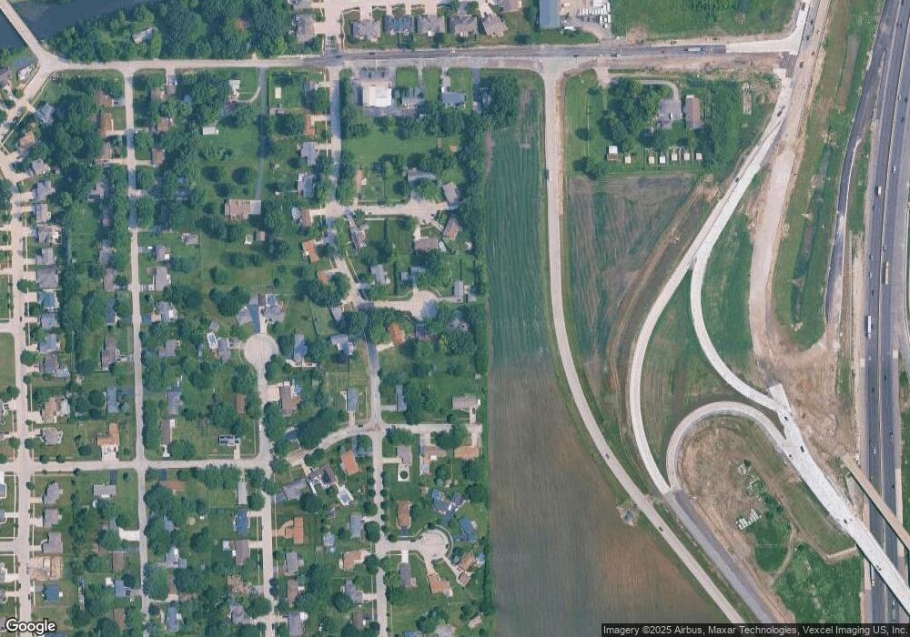
Map
Nearby Homes
- 741 River Bluff Dr
- 313 Louisa St N
- 24614 Kaylee St
- 20948 Lakewoods Ln
- 2031 Isabell Ln Unit 1
- 2037 Isabell Ln
- 2035 Isabell Ln
- 20941 Lee St
- 21042 Lakewoods Ln
- 24433 Bantry Dr
- 1007 Windsor Dr
- 21053 Benjamin Dr
- 201 Oakwood Dr
- 24620 River Crossing Dr
- 21133 Kenmare Dr Unit 1
- 24755 W Manor Dr
- 22020 S River Rd
- 1 AC Jefferson St
- 00001 Jefferson St
- 00002 Jefferson St
- 24215 W Ronnie Ct
- 24206 W Ronnie Ct
- 24204 W Jensen St
- 20821 S Sarver Dr Unit 1
- 24216 W Ronnie Ct Unit 2
- 20841 S Sarver Dr
- 24217 W Clarage Ct
- 20801 S Sarver Dr
- 24209 W Clarage Ct
- 20826 S Sarver Dr
- 24203 W Jensen St
- 24215 W Jensen St Unit 2
- 20844 S Sarver Dr
- 20755 S Sarver Dr Unit 1
- 20812 S Sarver Dr
- 20901 S Sarver Dr
- 24208 W Clarage Ct Unit 3
- 20804 S Sarver Dr
- 24218 W Clarage Ct
- 20823 S Ron Lee Ct