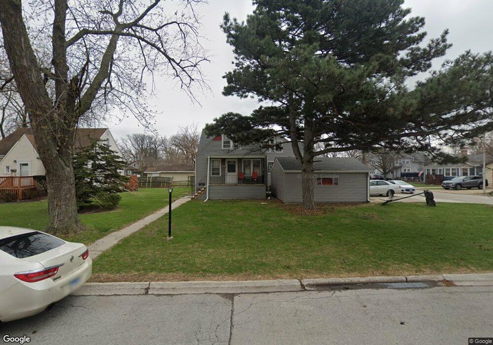
2421 Erika Dr Broadview, IL 60155
Estimated Value: $296,000 - $375,000
5
Beds
3
Baths
1,800
Sq Ft
$179/Sq Ft
Est. Value
About This Home
This home is located at 2421 Erika Dr, Broadview, IL 60155 and is currently estimated at $322,331, approximately $179 per square foot. 2421 Erika Dr is a home located in Cook County with nearby schools including Komarek Elementary School, Riverside Brookfield High School, and Westchester Christian School.
Ownership History
Date
Name
Owned For
Owner Type
Purchase Details
Closed on
Dec 3, 2009
Sold by
The Charles Emery & Harriet Eleanor Lawr
Bought by
Bass Kimberly
Current Estimated Value
Home Financials for this Owner
Home Financials are based on the most recent Mortgage that was taken out on this home.
Original Mortgage
$120,573
Outstanding Balance
$77,684
Interest Rate
4.9%
Mortgage Type
FHA
Estimated Equity
$244,647
Purchase Details
Closed on
Oct 9, 1997
Sold by
Lawrence Charles Emery
Bought by
Emery Charles and Lawrence Eleanor Lawrence
Create a Home Valuation Report for This Property
The Home Valuation Report is an in-depth analysis detailing your home's value as well as a comparison with similar homes in the area
Home Values in the Area
Average Home Value in this Area
Purchase History
| Date | Buyer | Sale Price | Title Company |
|---|---|---|---|
| Bass Kimberly | $129,500 | Premier Title | |
| Emery Charles | -- | -- |
Source: Public Records
Mortgage History
| Date | Status | Borrower | Loan Amount |
|---|---|---|---|
| Open | Bass Kimberly | $120,573 |
Source: Public Records
Tax History
| Year | Tax Paid | Tax Assessment Tax Assessment Total Assessment is a certain percentage of the fair market value that is determined by local assessors to be the total taxable value of land and additions on the property. | Land | Improvement |
|---|---|---|---|---|
| 2025 | $6,554 | $19,525 | $4,771 | $14,754 |
| 2024 | $6,554 | $20,568 | $4,771 | $15,797 |
| 2023 | $4,943 | $24,231 | $4,771 | $19,460 |
| 2022 | $4,943 | $16,318 | $4,090 | $12,228 |
| 2021 | $4,773 | $16,317 | $4,089 | $12,228 |
| 2020 | $4,757 | $16,317 | $4,089 | $12,228 |
| 2019 | $4,070 | $15,020 | $3,748 | $11,272 |
| 2018 | $3,939 | $15,020 | $3,748 | $11,272 |
| 2017 | $4,786 | $17,594 | $3,748 | $13,846 |
| 2016 | $3,164 | $11,343 | $3,408 | $7,935 |
| 2015 | $3,068 | $11,343 | $3,408 | $7,935 |
| 2014 | $3,037 | $11,343 | $3,408 | $7,935 |
| 2013 | $4,440 | $16,334 | $3,408 | $12,926 |
Source: Public Records
Map
Nearby Homes
- 2322 S 17th Ave Unit 5
- 2310 S 17th Ave
- 2253 S 15th Ave
- 2263 S 14th Ave
- 2233 S 14th Ave
- 9120 26th Place
- 9020 W 22nd Place
- 1140 Blanchan Ave
- 1946 Portsmouth Ave
- 1907 Portsmouth Ave
- 1636 Manchester Ave
- 2334 S 10th Ave
- 1106 Alima Terrace
- 1457 Bristol Ave
- 2510 S 17th Ave
- 1433 Bristol Ave
- 1558 Portsmouth Ave
- 1222 Woodside Rd
- 1449 Norfolk Ave
- 2341 S 24th Ave
Your Personal Tour Guide
Ask me questions while you tour the home.