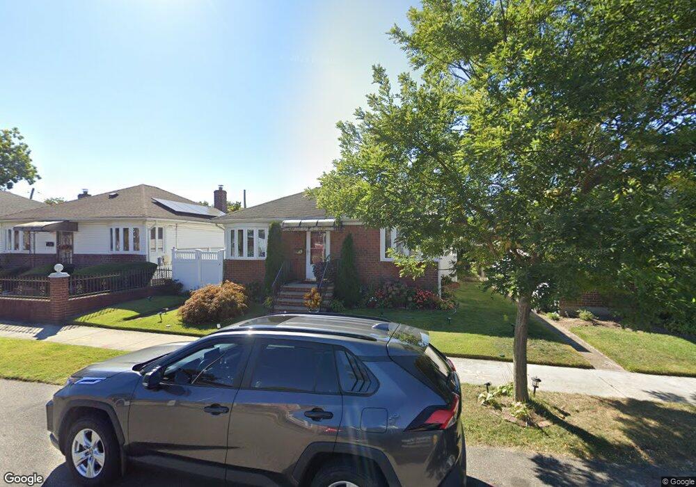
24212 131st Rd Rosedale, NY 11422
Rosedale NeighborhoodEstimated Value: $622,457 - $725,000
--
Bed
--
Bath
837
Sq Ft
$814/Sq Ft
Est. Value
About This Home
This home is located at 24212 131st Rd, Rosedale, NY 11422 and is currently estimated at $681,114, approximately $813 per square foot. 24212 131st Rd is a home located in Queens County with nearby schools including P.S. 38 - Rosedale, Collaborative Arts Middle School, and Mona Prep.
Ownership History
Date
Name
Owned For
Owner Type
Purchase Details
Closed on
Jul 13, 2012
Sold by
Guerra Wayne A and Heath Pamela
Bought by
Grant Lawrence
Current Estimated Value
Home Financials for this Owner
Home Financials are based on the most recent Mortgage that was taken out on this home.
Original Mortgage
$228,000
Outstanding Balance
$157,906
Interest Rate
3.74%
Mortgage Type
New Conventional
Estimated Equity
$523,208
Purchase Details
Closed on
May 22, 2006
Sold by
Pope Courtney
Bought by
Heath Pamela and Heath Wayne Guerra
Home Financials for this Owner
Home Financials are based on the most recent Mortgage that was taken out on this home.
Original Mortgage
$368,000
Interest Rate
6.55%
Mortgage Type
Purchase Money Mortgage
Purchase Details
Closed on
May 17, 2005
Sold by
Green Cheval and Green Simon
Bought by
Pope Courtney
Home Financials for this Owner
Home Financials are based on the most recent Mortgage that was taken out on this home.
Original Mortgage
$79,200
Interest Rate
5.83%
Purchase Details
Closed on
Feb 12, 1999
Sold by
Bennett Frank A and Bennett Marjorie L
Bought by
Green Cheval A
Purchase Details
Closed on
Feb 10, 1999
Sold by
Bennett Frank A and Bennett Marjorie L
Bought by
Green Cheval and Green Simon
Purchase Details
Closed on
Sep 30, 1997
Sold by
Felicio Marie and Caliendro Constance
Bought by
Bennett Frank A and Bennett Marjorie L
Create a Home Valuation Report for This Property
The Home Valuation Report is an in-depth analysis detailing your home's value as well as a comparison with similar homes in the area
Home Values in the Area
Average Home Value in this Area
Purchase History
| Date | Buyer | Sale Price | Title Company |
|---|---|---|---|
| Grant Lawrence | $285,000 | -- | |
| Grant Lawrence | $285,000 | -- | |
| Heath Pamela | $460,000 | -- | |
| Heath Pamela | $460,000 | -- | |
| Pope Courtney | $396,000 | -- | |
| Pope Courtney | $396,000 | -- | |
| Green Cheval A | -- | First American Title Ins Co | |
| Green Cheval A | -- | First American Title Ins Co | |
| Green Cheval | -- | First American Title Ins Co | |
| Green Cheval | -- | First American Title Ins Co | |
| Bennett Frank A | $141,000 | Uslife Title Insurance Compa | |
| Bennett Frank A | $141,000 | Uslife Title Insurance Compa |
Source: Public Records
Mortgage History
| Date | Status | Borrower | Loan Amount |
|---|---|---|---|
| Open | Grant Lawrence | $228,000 | |
| Closed | Grant Lawrence | $228,000 | |
| Previous Owner | Heath Pamela | $92,000 | |
| Previous Owner | Heath Pamela | $368,000 | |
| Previous Owner | Pope Courtney | $79,200 | |
| Previous Owner | Pope Courtney | $316,800 |
Source: Public Records
Tax History Compared to Growth
Tax History
| Year | Tax Paid | Tax Assessment Tax Assessment Total Assessment is a certain percentage of the fair market value that is determined by local assessors to be the total taxable value of land and additions on the property. | Land | Improvement |
|---|---|---|---|---|
| 2025 | $5,682 | $31,104 | $9,910 | $21,194 |
| 2024 | $5,694 | $29,689 | $9,618 | $20,071 |
| 2023 | $5,344 | $28,009 | $8,561 | $19,448 |
| 2022 | $4,988 | $30,780 | $10,380 | $20,400 |
| 2021 | $5,159 | $29,340 | $10,380 | $18,960 |
| 2020 | $4,449 | $27,840 | $10,380 | $17,460 |
| 2019 | $4,141 | $26,580 | $10,380 | $16,200 |
| 2018 | $4,460 | $23,341 | $9,569 | $13,772 |
| 2017 | $4,189 | $22,020 | $10,380 | $11,640 |
| 2016 | $4,008 | $22,020 | $10,380 | $11,640 |
| 2015 | $2,441 | $23,210 | $10,922 | $12,288 |
| 2014 | $2,441 | $21,897 | $10,355 | $11,542 |
Source: Public Records
Map
Nearby Homes
- 132-29 Brookville Blvd
- 11 Jefferson Ave
- 131- 44 Laurelton Pkwy Unit Lower
- 131-30 Laurelton Pkwy Unit Upper
- 23432 133rd Ave Unit LOWER
- 131-31 234th St Unit 2nd Fl
- 234-5 133rd Ave Unit Lower
- 131-09 234th St Unit Lower Level
- 130-21 235th St
- 35 Harvard St
- 131-56 234th St Unit Lower
- 134-33 242nd St
- 211 Ash St
- 131-66 234th St Unit Lower
- 131-74 234th St Unit 1
- 64 Ormonde Blvd
- 233-6 131st Ave Unit 1
- 234-16 130th Ave
- 133-18 233rd St
- 13124 233rd St
- 24208 131st Rd
- 24216 131st Rd
- 24216 131st Rd
- 242-20 131st Rd
- 24220 131st Rd
- 242-04 131st Rd
- 24204 131st Rd
- 24224 131st Rd
- 24207 131st Rd
- 242-04 132nd Ave
- 24211 131st Rd
- 24207 131st Rd
- 24208 132nd Ave
- 24212 132nd Ave
- 24215 131st Rd
- 24204 132nd Ave
- 24203 131st Rd
- 242-07 131st Rd
- 24216 132nd Ave
- 24115 132nd Ave