2422 Chestnut Bend Howell, MI 48855
Estimated Value: $344,000 - $434,000
4
Beds
4
Baths
2,145
Sq Ft
$183/Sq Ft
Est. Value
About This Home
This home is located at 2422 Chestnut Bend, Howell, MI 48855 and is currently estimated at $391,696, approximately $182 per square foot. 2422 Chestnut Bend is a home located in Livingston County with nearby schools including Ruahmah J. Hutchings Elementary, Parker Middle School, and Howell High School.
Ownership History
Date
Name
Owned For
Owner Type
Purchase Details
Closed on
Jun 30, 2017
Sold by
Techlin Ii Brian W and Techlin Jennifer L
Bought by
Techlin Ii Brian and Techlin Jennifer
Current Estimated Value
Purchase Details
Closed on
Mar 19, 2010
Sold by
Anderson Nathan M and Anderson Heather Pm
Bought by
Techlin Ii Brian W and Preston Jennifer L
Purchase Details
Closed on
May 5, 1995
Sold by
Darling Bldg Co
Bought by
Wetzel Scott T and Wetzel R
Home Financials for this Owner
Home Financials are based on the most recent Mortgage that was taken out on this home.
Original Mortgage
$148,500
Interest Rate
8.42%
Mortgage Type
New Conventional
Create a Home Valuation Report for This Property
The Home Valuation Report is an in-depth analysis detailing your home's value as well as a comparison with similar homes in the area
Home Values in the Area
Average Home Value in this Area
Purchase History
| Date | Buyer | Sale Price | Title Company |
|---|---|---|---|
| Techlin Ii Brian | -- | None Available | |
| Techlin Ii Brian W | $160,900 | -- | |
| Wetzel Scott T | $32,000 | -- |
Source: Public Records
Mortgage History
| Date | Status | Borrower | Loan Amount |
|---|---|---|---|
| Previous Owner | Wetzel Scott T | $148,500 |
Source: Public Records
Tax History
| Year | Tax Paid | Tax Assessment Tax Assessment Total Assessment is a certain percentage of the fair market value that is determined by local assessors to be the total taxable value of land and additions on the property. | Land | Improvement |
|---|---|---|---|---|
| 2025 | $1,723 | $186,900 | $0 | $0 |
| 2024 | $1,674 | $182,400 | $0 | $0 |
| 2023 | $1,599 | $163,600 | $0 | $0 |
| 2022 | $735 | $138,600 | $0 | $0 |
| 2021 | $2,215 | $142,900 | $0 | $0 |
| 2020 | $2,240 | $138,600 | $0 | $0 |
| 2019 | $2,208 | $127,500 | $0 | $0 |
| 2018 | $2,181 | $115,300 | $0 | $0 |
| 2017 | $2,226 | $111,600 | $0 | $0 |
| 2016 | $2,141 | $107,300 | $0 | $0 |
| 2014 | $1,992 | $91,000 | $0 | $0 |
| 2012 | $1,992 | $84,000 | $0 | $0 |
Source: Public Records
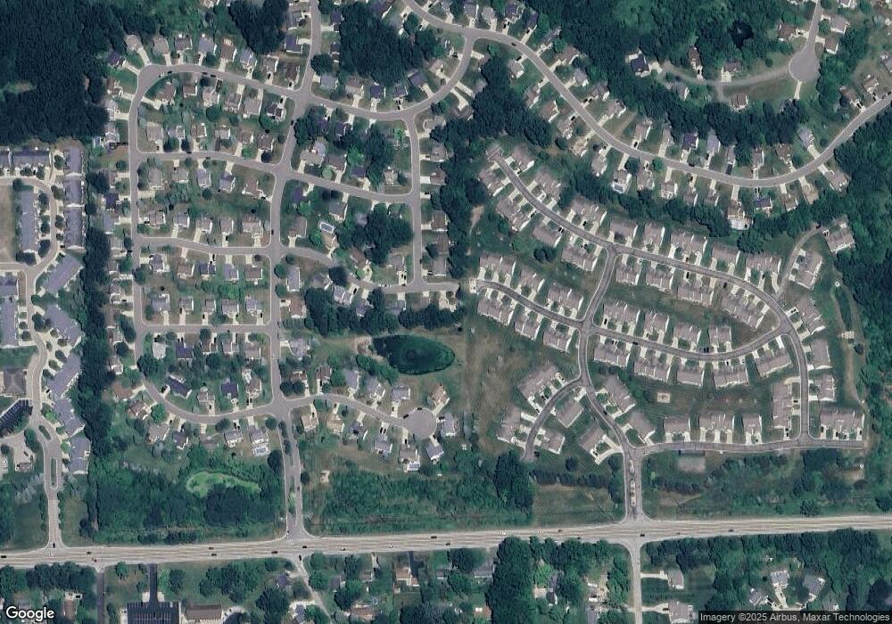
Map
Nearby Homes
- 2511 Kerria Dr Unit 42
- 1570 Princewood Blvd
- 2430 Hickory Circle Dr Unit 103
- 2643 Kerria Dr Unit 65
- 1420 Butler Blvd
- 2830 Bonny Brook Dr Unit 3
- 1315 Central Ave
- Lot 1 of Lockes St
- Lot 3 of Lockes St
- VACANT LOT Thompson Shore Dr
- 0 Eager Unit 293099
- 475 Cannonade Loop
- 487 Cannonade Loop
- 559 Cannonade Loop
- 499 Cannonade Loop
- 571 Cannonade Loop
- 523 Cannonade Loop
- 583 Cannonade Loop
- The Austin Plan at Broadmoor
- The Charlotte Plan at Broadmoor
- 2416 Chestnut Bend Unit 39
- 2492 Katsura Ln Unit 18
- 1660 Smoketree Ln
- 1660 Smoke Tree Ln
- 2410 Chestnut Bend
- 2496 Katsura Ln
- 2496 Katsura Ln Unit 19
- 2500 Katsura Ln Unit 20
- 1678 Smoke Tree Ln Unit 67
- 2489 Katsura Ln Unit 21
- 2409 Chestnut Bend
- 2493 Katsura Ln Unit 22
- 2497 Katsura Ln
- 2512 Katsura Ln Unit 16
- 2404 Chestnut Bend Unit 41
- 2252 Hickory Circle Dr
- 2516 Katsura Ln Unit 17
- 1696 Smoke Tree Ln Unit 90
- 2505 Katsura Ln Unit 24
- 2509 Katsura Ln Unit 25
Your Personal Tour Guide
Ask me questions while you tour the home.