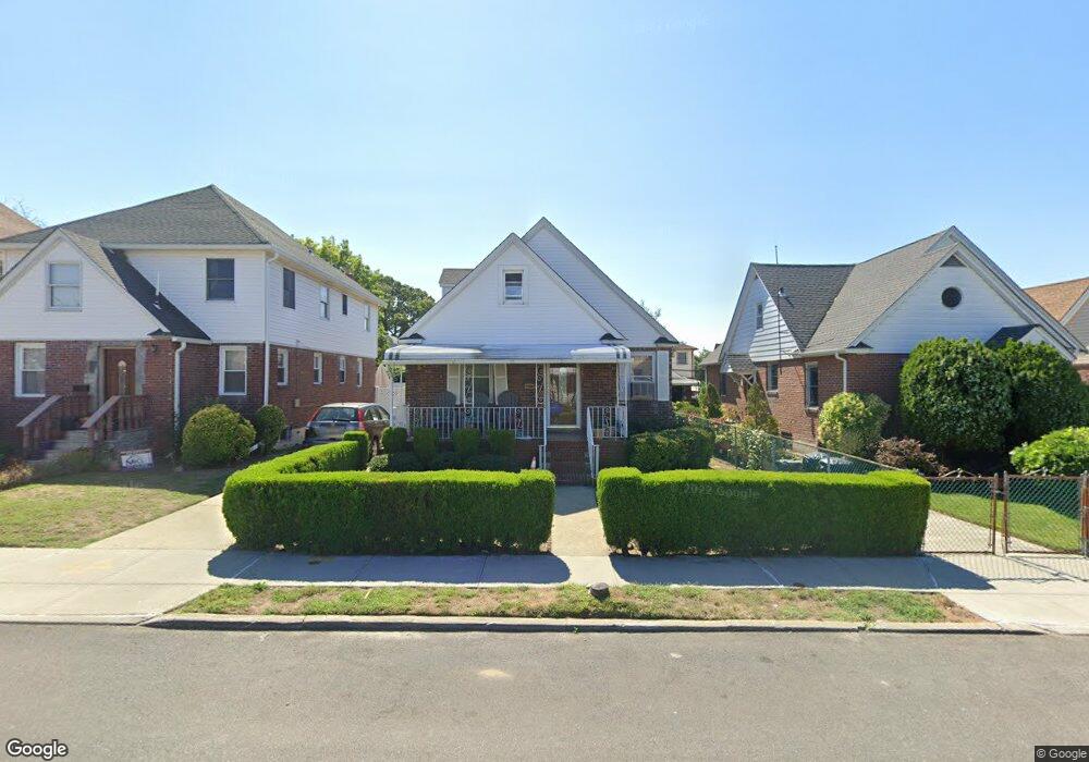
24220 130th Rd Rosedale, NY 11422
Rosedale NeighborhoodEstimated Value: $621,061 - $738,000
--
Bed
--
Bath
1,288
Sq Ft
$544/Sq Ft
Est. Value
About This Home
This home is located at 24220 130th Rd, Rosedale, NY 11422 and is currently estimated at $700,515, approximately $543 per square foot. 24220 130th Rd is a home located in Queens County with nearby schools including P.S. 38 - Rosedale, Collaborative Arts Middle School, and Mona Prep.
Ownership History
Date
Name
Owned For
Owner Type
Purchase Details
Closed on
Apr 27, 2022
Sold by
King-Roachford Paula
Bought by
Roachford Paula
Current Estimated Value
Home Financials for this Owner
Home Financials are based on the most recent Mortgage that was taken out on this home.
Original Mortgage
$250,000
Outstanding Balance
$237,194
Interest Rate
5.11%
Mortgage Type
Purchase Money Mortgage
Estimated Equity
$463,321
Purchase Details
Closed on
Jul 27, 2001
Sold by
Ramasir Ezekiel E and Ramasir Donna Sandra
Bought by
Roachford Thelma and King-Roachford Paula
Home Financials for this Owner
Home Financials are based on the most recent Mortgage that was taken out on this home.
Original Mortgage
$225,000
Interest Rate
7.06%
Create a Home Valuation Report for This Property
The Home Valuation Report is an in-depth analysis detailing your home's value as well as a comparison with similar homes in the area
Home Values in the Area
Average Home Value in this Area
Purchase History
| Date | Buyer | Sale Price | Title Company |
|---|---|---|---|
| Roachford Paula | -- | -- | |
| Roachford Thelma | -- | -- |
Source: Public Records
Mortgage History
| Date | Status | Borrower | Loan Amount |
|---|---|---|---|
| Open | Roachford Paula | $250,000 | |
| Closed | Roachford Thelma | $225,000 |
Source: Public Records
Tax History Compared to Growth
Tax History
| Year | Tax Paid | Tax Assessment Tax Assessment Total Assessment is a certain percentage of the fair market value that is determined by local assessors to be the total taxable value of land and additions on the property. | Land | Improvement |
|---|---|---|---|---|
| 2025 | $5,682 | $31,470 | $7,743 | $23,727 |
| 2024 | $5,694 | $29,689 | $7,771 | $21,918 |
| 2023 | $5,344 | $28,009 | $6,743 | $21,266 |
| 2022 | $4,988 | $37,740 | $9,360 | $28,380 |
| 2021 | $5,265 | $35,340 | $9,360 | $25,980 |
| 2020 | $5,255 | $31,800 | $9,360 | $22,440 |
| 2019 | $4,883 | $31,860 | $9,360 | $22,500 |
| 2018 | $4,460 | $23,341 | $7,764 | $15,577 |
| 2017 | $4,189 | $22,020 | $9,360 | $12,660 |
| 2016 | $4,224 | $22,020 | $9,360 | $12,660 |
| 2015 | $2,793 | $24,787 | $10,137 | $14,650 |
| 2014 | $2,793 | $23,385 | $9,564 | $13,821 |
Source: Public Records
Map
Nearby Homes
- 128-35 Brookville Blvd
- 130-21 235th St
- 11 Jefferson Ave
- 24016 128th Rd
- 128- 60 236th St
- 128-36 Hook Creek Blvd
- 132-29 Brookville Blvd
- 234-16 130th Ave
- 131-30 Laurelton Pkwy Unit Upper
- 131- 44 Laurelton Pkwy Unit Lower
- 131-09 234th St Unit Lower Level
- 12810 236th St
- 131-31 234th St Unit 2nd Fl
- 63 Cumberland Place
- 233-6 131st Ave Unit 1
- 130-28 233rd St
- 12819 234th St
- 131-56 234th St Unit Lower
- 23432 133rd Ave Unit LOWER
- 234-5 133rd Ave Unit Lower
- 24224 130th Rd
- 24216 130th Rd
- 24224 130th Rd
- 24228 130th Rd
- 24212 130th Rd
- 24228 130th Rd
- 24207 131st Ave
- 242-07 131st Ave
- 24211 131st Ave
- 24203 131st Ave
- 24232 130th Rd
- 24215 131st Ave
- 24121 131st Ave
- 24208 130th Rd
- 24203 131st Ave
- 24203 131st Ave
- 13033 Brookville Blvd
- 13033 Brookville Blvd
- 242-03 131st Ave
- 24117 131st Ave