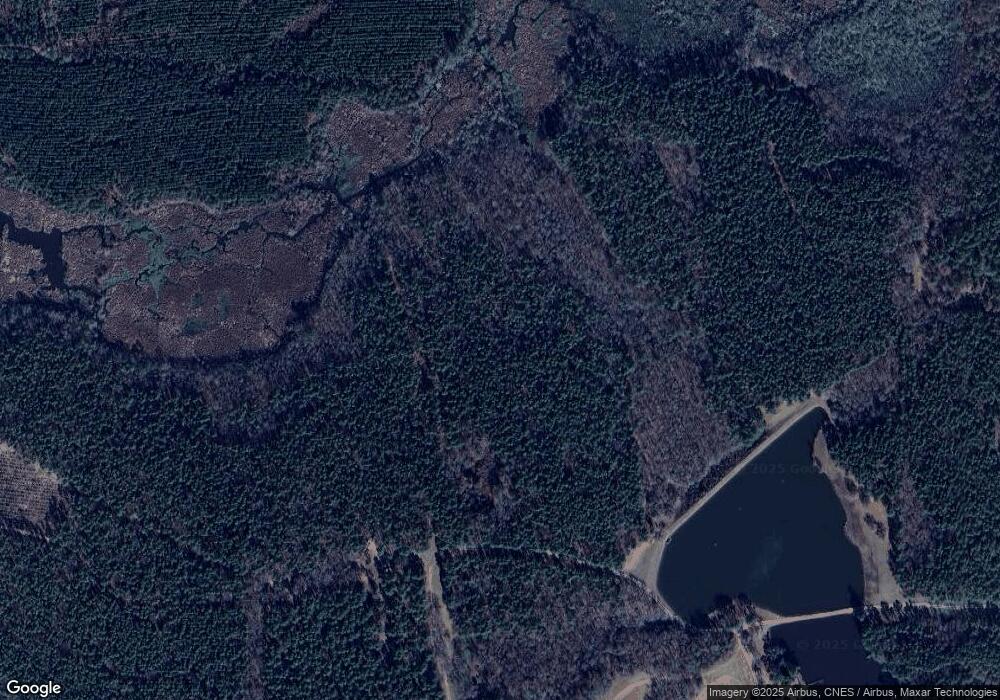
2423 Cedar Grove Rd Soperton, GA 30457
Estimated Value: $159,000
--
Bed
--
Bath
588
Sq Ft
$270/Sq Ft
Est. Value
About This Home
This home is located at 2423 Cedar Grove Rd, Soperton, GA 30457 and is currently estimated at $159,000, approximately $270 per square foot. 2423 Cedar Grove Rd is a home with nearby schools including Treutlen Elementary School and Treutlen Middle/High School.
Ownership History
Date
Name
Owned For
Owner Type
Purchase Details
Closed on
May 3, 2000
Sold by
Wells Loretta
Bought by
Wells Lamaund E
Current Estimated Value
Purchase Details
Closed on
Mar 17, 1993
Bought by
Davis Davis J and Davis W
Purchase Details
Closed on
Mar 12, 1993
Bought by
Hall Hall W and Hall H
Purchase Details
Closed on
Oct 6, 1992
Bought by
Wells Maynard Etal
Purchase Details
Closed on
Jul 16, 1992
Sold by
Towns Towns R and Towns E
Bought by
Wells Lamaund Etal
Purchase Details
Closed on
Feb 3, 1942
Bought by
Davis Jw Est Johnni
Purchase Details
Closed on
May 3, 1941
Bought by
Wells Carl
Create a Home Valuation Report for This Property
The Home Valuation Report is an in-depth analysis detailing your home's value as well as a comparison with similar homes in the area
Home Values in the Area
Average Home Value in this Area
Purchase History
| Date | Buyer | Sale Price | Title Company |
|---|---|---|---|
| Wells Lamaund E | -- | -- | |
| Davis Davis J | -- | -- | |
| Hall Hall W | -- | -- | |
| Wells Maynard Etal | $17,500 | -- | |
| Wells Lamaund Etal | -- | -- | |
| Davis Jw Est Johnni | -- | -- | |
| Wells Carl | -- | -- |
Source: Public Records
Tax History Compared to Growth
Tax History
| Year | Tax Paid | Tax Assessment Tax Assessment Total Assessment is a certain percentage of the fair market value that is determined by local assessors to be the total taxable value of land and additions on the property. | Land | Improvement |
|---|---|---|---|---|
| 2024 | $6,589 | $319,680 | $286,520 | $33,160 |
| 2023 | $6,431 | $319,680 | $286,520 | $33,160 |
| 2022 | $6,021 | $318,560 | $286,520 | $32,040 |
| 2021 | $5,873 | $318,560 | $286,520 | $32,040 |
| 2020 | $5,729 | $318,560 | $286,520 | $32,040 |
| 2019 | $5,588 | $318,560 | $286,520 | $32,040 |
| 2018 | $7,790 | $318,560 | $286,520 | $32,040 |
| 2017 | $5,240 | $318,560 | $286,520 | $32,040 |
| 2016 | $5,016 | $318,560 | $286,520 | $32,040 |
| 2015 | -- | $318,560 | $286,520 | $32,040 |
| 2014 | -- | $318,560 | $286,520 | $32,040 |
| 2013 | -- | $390,720 | $358,680 | $32,040 |
Source: Public Records
Map
Nearby Homes
- 0 Rivoli Clay Rd
- 00 Rivoli Clay Rd
- 1936 Cedar Grove Rd
- 0 Cedar Grove Rd
- 0 County Line Rd Unit n/a 113727
- 4281 Ga Highway 46
- 4281 Sr-46
- 481 Windmill Way
- 7586 Eastman Rd
- 1785 Martin Luther King jr Dr
- 46 Georgia 46
- 4687 W Main St
- 4004 E Louisiana Ave
- 2166 Ga Highway 199
- 95 Railroad Ave
- 0 Knox Mill Rd Unit 10640244
- 0 Beasley Hill Place Unit 10640367
- 0 Lake Helen Loop Unit 10640271
- 0 Muskogee Trail Unit 25917
- 0 Muskogee Trail Unit LOT 78 20128125
- 0 Rivoli Clay Rd Unit 10610278
- 2019 Cedar Grove Rd
- 1397 Cedar Grove Rd
- 31 Rockdale Ln
- 1929 Cedar Grove Rd
- 2079 Cedar Grove Rd
- 1945 Cedar Grove Rd
- 1721 Cedar Grove Rd
- 1671 Cedar Grove Rd
- 2701 Rivoli Clay Rd
- 2701 Rivoli Clay Rd
- 1716 Cedar Grove Rd
- 0 Mount Olive Way
- 00 Mount Olive Way
- 2549 Cedar Grove Rd
- 160 Wingate Trail
- 0 Briarwood Dr
- 739 Mount Olive Way
- 168 Wingate Trail
- 2613 Cedar Grove Rd
