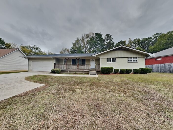
2424 Anderson Mill Rd Austell, GA 30106
About This Home
All Bridge Homes listings are pet-friendly and offer easy self-tours, schedule yours today!
Transparent Pricing with Resident Benefits Package Included: Base rent $1,616 plus $29 RBP = $1,645.
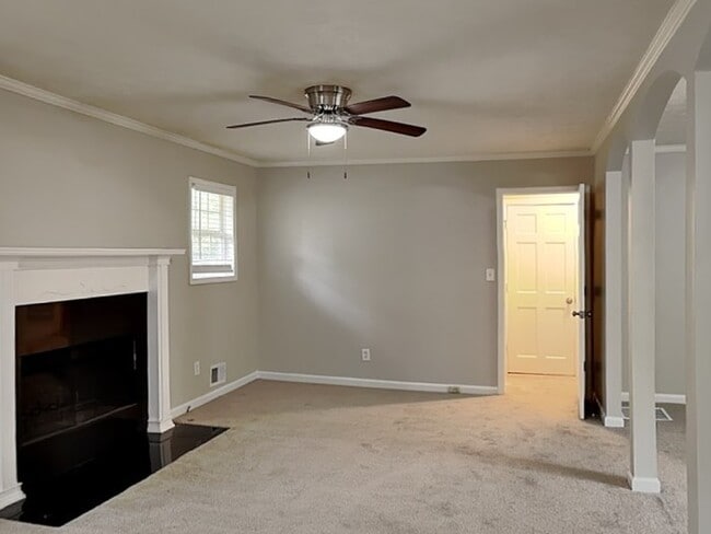
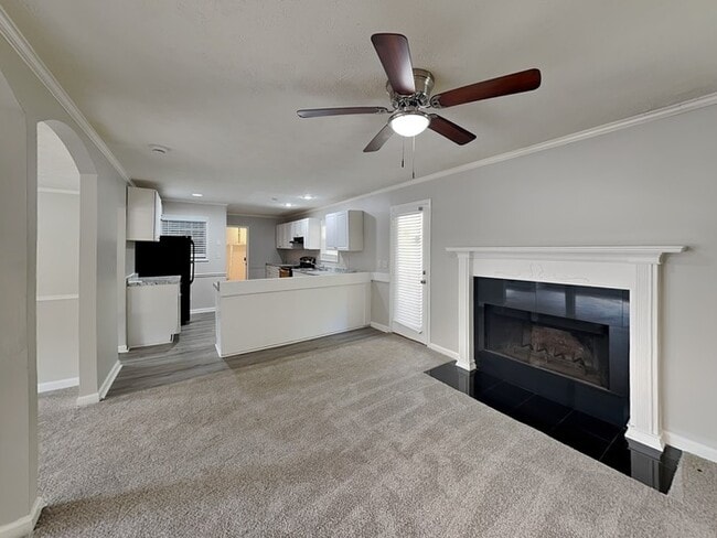
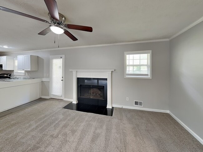
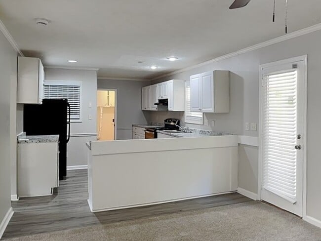
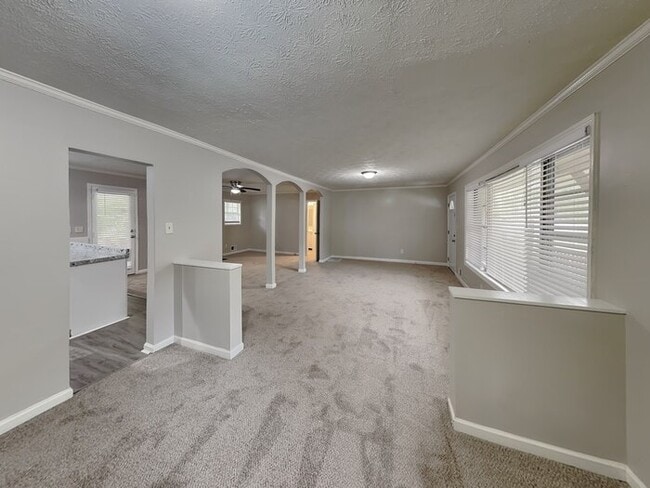
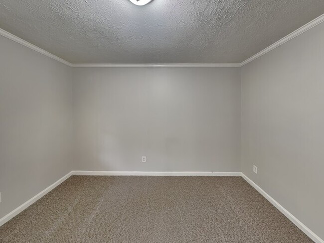
Welcome to your next home. This charming 3-bedroom, 2-bathroom is located in Austell. This home features a open kitchen with ample cabinet and counter top space. The primary bedroom have a private bath and with ample closet space. Additionally the home includes 2 spacious secondary bedrooms, a two car garage and private patio.
All Bridge Homes residents are automatically enrolled in our Resident Benefits Package (RBP), designed to enhance your leasing experience. Your advertised rent already includes or this $29 monthly package - no hidden fees. RBP delivers valuable services like a personalized utility concierge, air filter delivery, credit building, and resident rewards. Full details available upon request.
Equal Housing Opportunity.
This property allows self guided viewing without an appointment. Contact for details.

Map
- 2433 Anderson Mill Rd
- 2549 Dogwood Hills Ct Unit BASEMENT
- 2061 Chesley Dr
- 2085 Lenoa Ln
- 4867 Flint Hill Rd SW
- 2105 Mesa Valley Way
- 4713 Nature Trail
- 4910 Springdale Rd
- 2796 Water Valley Rd
- 2719 Greystone Ct
- 1847 Elmwood Dr
- 2753 Whitewater Ct
- 4236 Austell Rd
- 3866 Cedar Dr SW
- 2222 E -West Connector
- 1584 Silver Ridge Dr
- 4505 Grandeur Cir
- 1899 Mulkey Rd
- 1577 Silver Ridge Dr SW
- 5005 Hyacinth Ln