24244 Buck Run Ln Zuni, VA 23898
Southern Isle of Wight NeighborhoodEstimated Value: $590,000 - $624,275
4
Beds
3
Baths
3,676
Sq Ft
$166/Sq Ft
Est. Value
About This Home
This home is located at 24244 Buck Run Ln, Zuni, VA 23898 and is currently estimated at $610,569, approximately $166 per square foot. 24244 Buck Run Ln is a home located in Isle of Wight County with nearby schools including Carrsville Elementary School, Georgie D. Tyler Middle School, and Windsor High School.
Ownership History
Date
Name
Owned For
Owner Type
Purchase Details
Closed on
Jul 29, 2020
Sold by
Walter Stroud George and Walter Jo Betty
Bought by
George George W and George Betty R
Current Estimated Value
Home Financials for this Owner
Home Financials are based on the most recent Mortgage that was taken out on this home.
Original Mortgage
$416,320
Interest Rate
2.75%
Mortgage Type
FHA
Purchase Details
Closed on
Jul 24, 2020
Sold by
George George W and George Betty L
Bought by
Barry Robert Michael and Barry Angela Rowell
Home Financials for this Owner
Home Financials are based on the most recent Mortgage that was taken out on this home.
Original Mortgage
$416,320
Interest Rate
2.75%
Mortgage Type
FHA
Purchase Details
Closed on
Aug 22, 2006
Sold by
Ect Inc
Purchase Details
Closed on
Dec 17, 2004
Purchase Details
Closed on
Jun 3, 1981
Create a Home Valuation Report for This Property
The Home Valuation Report is an in-depth analysis detailing your home's value as well as a comparison with similar homes in the area
Home Values in the Area
Average Home Value in this Area
Purchase History
| Date | Buyer | Sale Price | Title Company |
|---|---|---|---|
| George George W | -- | Davis Law Group Pc | |
| Barry Robert Michael | $424,000 | Priority Title | |
| -- | $170,000 | -- | |
| -- | $62,800 | -- | |
| -- | $34,900 | -- |
Source: Public Records
Mortgage History
| Date | Status | Borrower | Loan Amount |
|---|---|---|---|
| Previous Owner | Barry Robert Michael | $416,320 |
Source: Public Records
Tax History Compared to Growth
Tax History
| Year | Tax Paid | Tax Assessment Tax Assessment Total Assessment is a certain percentage of the fair market value that is determined by local assessors to be the total taxable value of land and additions on the property. | Land | Improvement |
|---|---|---|---|---|
| 2025 | $4,245 | $547,800 | $54,900 | $492,900 |
| 2024 | $3,999 | $547,800 | $54,900 | $492,900 |
| 2023 | $3,943 | $547,800 | $54,900 | $492,900 |
| 2022 | $3,994 | $463,500 | $49,900 | $413,600 |
| 2021 | $3,994 | $463,500 | $49,900 | $413,600 |
| 2020 | $3,994 | $463,500 | $49,900 | $413,600 |
| 2019 | $4,388 | $509,900 | $96,300 | $413,600 |
| 2018 | $3,980 | $504,100 | $106,000 | $398,100 |
| 2016 | $3,639 | $419,700 | $106,000 | $313,700 |
| 2015 | $3,046 | $452,600 | $106,000 | $346,600 |
| 2014 | $3,046 | $349,900 | $92,500 | $257,400 |
| 2013 | -- | $349,900 | $92,500 | $257,400 |
Source: Public Records
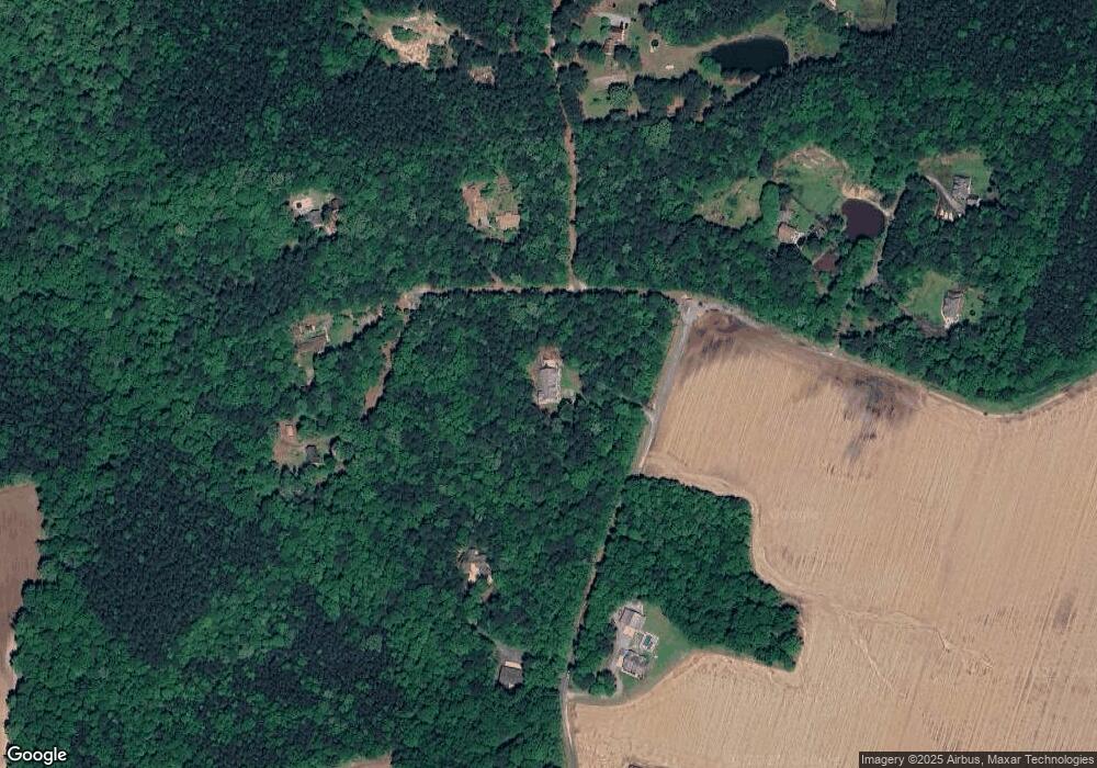
Map
Nearby Homes
- 20460 Sand Pit Rd
- 5217 Blackie Ln
- 11525 Tucker Swamp Rd
- 28028 Colosse Rd
- Lawrence Dr
- 36295 Seacock Chapel Rd
- 7496 Yellow Hammer Rd
- 36093 Seacock Chapel Rd
- Maynards Store Rd
- 0 Black Creek Road (Tract: Chesapeake Surry Griffin) Unit VASU2000026
- 18 B Ave
- 29139 Holly Run Dr
- 32 N Court St
- 15+AC Courthouse Hwy
- 29 N Court St
- 10419 Sylvia Cir
- 23068 Andrew Ct
- .71 Ac E Windsor Blvd
- 33470 Seacock Chapel Rd
- 12169 Ava Ln
- 24169 Buck Run Ln
- 24304 Buck Run Ln
- 24140 Buck Run Ln
- 24150 Buck Run Ln
- 24241 Buck Run Ln
- 24141 Buck Run Ln
- 24141 Buck Run Ln
- 24309 Buck Run Ln
- 24085 Birkenbog Way
- 24249 Buck Run Ln
- 24098 Birkenbog Way
- 24361 Buck Run Ln
- 24106 Birkenbog Way
- 24245 Buck Run Ln
- 24076 Birkenbog Way
- 24043 Birkenbog Way
- 23492 Birkenbog Way
- 23491 Birkenbog Way
- 23494 Birkenbog Way
- 5319 W Blackwater Rd