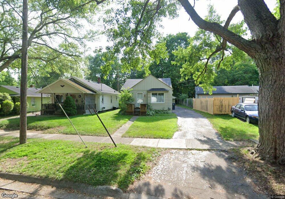
2425 Adair St Flint, MI 48506
Eastside NeighborhoodEstimated Value: $23,000 - $51,000
2
Beds
1
Bath
765
Sq Ft
$51/Sq Ft
Est. Value
About This Home
This home is located at 2425 Adair St, Flint, MI 48506 and is currently estimated at $38,669, approximately $50 per square foot. 2425 Adair St is a home located in Genesee County with nearby schools including Potter School, Richfield Public School Academy, and Flint Cultural Center Academy.
Ownership History
Date
Name
Owned For
Owner Type
Purchase Details
Closed on
Oct 10, 2024
Sold by
Barron Kelly
Bought by
Martin Rardald V
Current Estimated Value
Purchase Details
Closed on
Aug 3, 2020
Sold by
Osman Lisa
Bought by
Barron Kelly
Purchase Details
Closed on
Jan 21, 2014
Sold by
Genesee County Land Bank Authority
Bought by
Osmos Shawn L
Purchase Details
Closed on
Dec 20, 2013
Sold by
Genesee County Treasurer
Bought by
Genesee County Land Bank
Create a Home Valuation Report for This Property
The Home Valuation Report is an in-depth analysis detailing your home's value as well as a comparison with similar homes in the area
Home Values in the Area
Average Home Value in this Area
Purchase History
| Date | Buyer | Sale Price | Title Company |
|---|---|---|---|
| Martin Rardald V | -- | None Listed On Document | |
| Martin Rardald V | -- | None Listed On Document | |
| Barron Kelly | -- | None Available | |
| Osmos Shawn L | $790 | None Available | |
| Genesee County Land Bank | -- | None Available |
Source: Public Records
Tax History
| Year | Tax Paid | Tax Assessment Tax Assessment Total Assessment is a certain percentage of the fair market value that is determined by local assessors to be the total taxable value of land and additions on the property. | Land | Improvement |
|---|---|---|---|---|
| 2025 | $924 | $12,600 | $0 | $0 |
| 2024 | $861 | $11,800 | $0 | $0 |
| 2023 | $845 | $10,400 | $0 | $0 |
| 2022 | $0 | $8,400 | $0 | $0 |
| 2021 | $854 | $8,100 | $0 | $0 |
| 2020 | $630 | $7,200 | $0 | $0 |
| 2019 | $525 | $7,100 | $0 | $0 |
| 2018 | $495 | $5,300 | $0 | $0 |
| 2017 | $497 | $0 | $0 | $0 |
| 2016 | $485 | $0 | $0 | $0 |
| 2015 | -- | $0 | $0 | $0 |
| 2014 | -- | $0 | $0 | $0 |
| 2012 | -- | $7,900 | $0 | $0 |
Source: Public Records
Map
Nearby Homes
- 2321 Levern St
- 2506 Arlington Ave
- 2426 Hoff St
- 2217 Maryland Ave
- 2426 Broadway Blvd
- 2211 Torrance St
- 1805 Bennett Ave
- 1826 Dakota Ave
- 1721 New York Ave
- 1730 Oklahoma Ave
- 1733 Oklahoma Ave
- 1629 New York Ave
- 2601 Illinois Ave
- 3018 Dakota Ave
- 1622 Arlington Ave
- 2719 Branch Rd
- 1805 Montana Ave
- 1510 N Vernon Ave
- 1656 Montana Ave
- 2415 Pennsylvania Ave
- 2421 Adair St
- 2316 Beechwood Dr
- 2417 Adair St
- 2320 Beechwood Dr
- 2310 Beechwood Dr
- 2413 Adair St
- 2436 Burns St
- 2424 Burns St
- 2409 Adair St
- 2420 Adair St
- 2416 Burns St
- 2428 Adair St
- 2412 Adair St
- 2412 Burns St
- 2319 Woodrow Ave
- 2325 Woodrow Ave
- 2311 Beechwood Dr
- 2315 Woodrow Ave
- 2436 Adair St
- 2313 Woodrow Ave
Your Personal Tour Guide
Ask me questions while you tour the home.