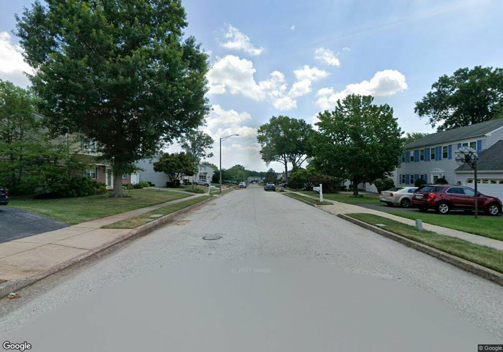
2425 Single Tree Ln Norristown, PA 19403
Estimated Value: $526,000 - $628,000
4
Beds
4
Baths
2,297
Sq Ft
$246/Sq Ft
Est. Value
About This Home
This home is located at 2425 Single Tree Ln, Norristown, PA 19403 and is currently estimated at $565,940, approximately $246 per square foot. 2425 Single Tree Ln is a home located in Montgomery County with nearby schools including Whitehall Elementary School, Charles Blockson Middle School, and East Norriton Middle School.
Ownership History
Date
Name
Owned For
Owner Type
Purchase Details
Closed on
Apr 4, 2012
Sold by
Briggs Joseph M and Briggs Valerie Z
Bought by
Briggs Valerie Z and Briggs Joseph M
Current Estimated Value
Home Financials for this Owner
Home Financials are based on the most recent Mortgage that was taken out on this home.
Original Mortgage
$126,657
Outstanding Balance
$87,401
Interest Rate
3.89%
Estimated Equity
$478,539
Purchase Details
Closed on
Aug 15, 1994
Sold by
Hargesheimer Robert S and Hargesheimer Linda A
Bought by
Briggs Joseph M and Briggs Valerie Z
Create a Home Valuation Report for This Property
The Home Valuation Report is an in-depth analysis detailing your home's value as well as a comparison with similar homes in the area
Home Values in the Area
Average Home Value in this Area
Purchase History
| Date | Buyer | Sale Price | Title Company |
|---|---|---|---|
| Briggs Valerie Z | -- | None Available | |
| Briggs Joseph M | $163,000 | -- |
Source: Public Records
Mortgage History
| Date | Status | Borrower | Loan Amount |
|---|---|---|---|
| Open | Briggs Valerie Z | $126,657 |
Source: Public Records
Tax History Compared to Growth
Tax History
| Year | Tax Paid | Tax Assessment Tax Assessment Total Assessment is a certain percentage of the fair market value that is determined by local assessors to be the total taxable value of land and additions on the property. | Land | Improvement |
|---|---|---|---|---|
| 2025 | $8,223 | $168,290 | $45,870 | $122,420 |
| 2024 | $8,223 | $168,290 | $45,870 | $122,420 |
| 2023 | $8,130 | $168,290 | $45,870 | $122,420 |
| 2022 | $8,077 | $168,290 | $45,870 | $122,420 |
| 2021 | $8,028 | $168,290 | $45,870 | $122,420 |
| 2020 | $7,788 | $168,290 | $45,870 | $122,420 |
| 2019 | $7,614 | $168,290 | $45,870 | $122,420 |
| 2018 | $5,966 | $168,290 | $45,870 | $122,420 |
| 2017 | $7,188 | $168,290 | $45,870 | $122,420 |
| 2016 | $7,122 | $168,290 | $45,870 | $122,420 |
| 2015 | $6,599 | $168,290 | $45,870 | $122,420 |
| 2014 | $6,599 | $168,290 | $45,870 | $122,420 |
Source: Public Records
Map
Nearby Homes
- 301 Winterfall Ave
- 136 Markley Farm Cir
- 1332 Statesman Rd
- 24 Wayne Ave
- 8040 Fair View Ln
- 2020 Sterigere St
- 32 Miami Rd
- 37 Burnside Ave
- 930 Heritage Dr
- 801 N Park Ave
- 44 N Barry Ave
- 2055 W Marshall St
- 4021 Killington Ct
- 520 Deerfield Dr
- 2817 Delta Ln
- 1104 Arden Dr Unit METHACTON SCHOOL
- 00 Arden Dr Unit METHACTON SCHOOL
- 2939 W Germantown Pike
- 68 Jefferson Ave
- 115 Sunnyside Ave
- 2421 Single Tree Ln
- 2429 Single Tree Ln
- 2417 Single Tree Ln
- 2446 Oakland Dr
- 2430 Single Tree Ln
- 2442 Oakland Dr
- 2450 Oakland Dr
- 2413 Single Tree Ln
- 2438 Oakland Dr
- 2426 Single Tree Ln
- 2502 Buggywhip Cir
- 157 Stable Rd
- 2422 Single Tree Ln
- 150 Stable Rd
- 2434 Oakland Dr
- 2409 Single Tree Ln
- 2502 Oakland Dr
- 2418 Single Tree Ln
- 2505 Buggywhip Cir
- 2430 Oakland Dr