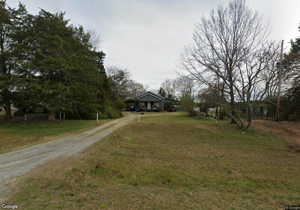
2425 Wire Rd Dearing, GA 30808
Estimated Value: $149,436 - $180,000
2
Beds
2
Baths
1,230
Sq Ft
$132/Sq Ft
Est. Value
About This Home
This home is located at 2425 Wire Rd, Dearing, GA 30808 and is currently estimated at $162,609, approximately $132 per square foot. 2425 Wire Rd is a home located in McDuffie County with nearby schools including Thomson High School.
Ownership History
Date
Name
Owned For
Owner Type
Purchase Details
Closed on
Oct 14, 2009
Sold by
Ferrell Richard Wayne
Bought by
Ferrell Lindy C
Current Estimated Value
Home Financials for this Owner
Home Financials are based on the most recent Mortgage that was taken out on this home.
Original Mortgage
$49,094
Outstanding Balance
$31,731
Interest Rate
5.04%
Mortgage Type
FHA
Estimated Equity
$130,878
Purchase Details
Closed on
Sep 20, 1999
Sold by
Albert H Dallas
Bought by
Morgan Donald C
Create a Home Valuation Report for This Property
The Home Valuation Report is an in-depth analysis detailing your home's value as well as a comparison with similar homes in the area
Purchase History
| Date | Buyer | Sale Price | Title Company |
|---|---|---|---|
| Ferrell Lindy C | -- | -- | |
| Ferrell Lindy C | $50,000 | -- | |
| Morgan Donald C | $32,000 | -- |
Source: Public Records
Mortgage History
| Date | Status | Borrower | Loan Amount |
|---|---|---|---|
| Open | Ferrell Lindy C | $49,094 |
Source: Public Records
Tax History
| Year | Tax Paid | Tax Assessment Tax Assessment Total Assessment is a certain percentage of the fair market value that is determined by local assessors to be the total taxable value of land and additions on the property. | Land | Improvement |
|---|---|---|---|---|
| 2025 | $883 | $40,228 | $3,142 | $37,086 |
| 2024 | $883 | $38,127 | $2,831 | $35,296 |
| 2023 | $860 | $36,703 | $2,831 | $33,872 |
| 2022 | $664 | $27,482 | $2,831 | $24,651 |
| 2021 | $530 | $22,512 | $2,748 | $19,764 |
| 2020 | $483 | $21,144 | $2,170 | $18,974 |
| 2019 | $488 | $21,144 | $2,170 | $18,974 |
| 2018 | $428 | $19,006 | $2,170 | $16,836 |
| 2017 | $413 | $19,006 | $2,170 | $16,836 |
| 2016 | $413 | $19,006 | $2,170 | $16,836 |
| 2015 | $392 | $19,636 | $2,800 | $16,836 |
| 2014 | $393 | $19,636 | $2,800 | $16,836 |
| 2013 | -- | $19,636 | $2,800 | $16,836 |
Source: Public Records
Map
Nearby Homes
- 789 George McDuffie Rd
- 1964 Wrens Hwy
- 1690 Wrens Hwy
- 1543 Wrens Hwy
- 000 Wrens Hwy
- 0 Wrens Hwy Unit 10652460
- 0 Wrens Hwy Unit 549833
- 1451 Central Road Extension
- 3116 Mitchner Road Extension
- 3776 Wire Rd
- 3786 Wire Rd
- 3768 Mitchner Rd
- 118 Langham St
- 0 Mitchner Rd Unit 548843
- 306 Michael St
- 354 King St
- 609 Dell Dr
- 67 Shadowmoor Cir
- 462 Bussey Ave
- 609 Hillcrest Dr
- 2415 Wire Rd
- 618 George McDuffie Rd
- 2316 Wire Rd
- 615 George McDuffie Rd
- 2293 Wire Rd
- 1973 Salem Rd
- 679 George McDuffie Rd
- 1963 Salem Rd
- 2273 Wire Rd
- 713 George McDuffie Rd
- 727 George McDuffie Rd
- 1930 Salem Rd
- 745 George McDuffie Rd
- 2237 Wire Rd
- 1900 Salem Rd
- 1912 Salem Rd
- 1905 Salem Rd
- 2210 Wire Rd
- 2260 Wire Rd
- 805 George McDuffie Rd
Your Personal Tour Guide
Ask me questions while you tour the home.