2426 State Route 103 Bloomville, OH 44818
Estimated Value: $214,000 - $663,000
3
Beds
1
Bath
1,184
Sq Ft
$422/Sq Ft
Est. Value
About This Home
This home is located at 2426 State Route 103, Bloomville, OH 44818 and is currently estimated at $499,125, approximately $421 per square foot. 2426 State Route 103 is a home located in Crawford County with nearby schools including Wynford Elementary School and Wynford High School.
Ownership History
Date
Name
Owned For
Owner Type
Purchase Details
Closed on
Dec 18, 2023
Sold by
Smith Cheryl A
Bought by
Hanes Brothers Llc
Current Estimated Value
Home Financials for this Owner
Home Financials are based on the most recent Mortgage that was taken out on this home.
Original Mortgage
$388,500
Outstanding Balance
$373,269
Interest Rate
7.76%
Mortgage Type
Credit Line Revolving
Estimated Equity
$125,856
Create a Home Valuation Report for This Property
The Home Valuation Report is an in-depth analysis detailing your home's value as well as a comparison with similar homes in the area
Home Values in the Area
Average Home Value in this Area
Purchase History
| Date | Buyer | Sale Price | Title Company |
|---|---|---|---|
| Hanes Brothers Llc | $574,500 | Acs Title | |
| Hanes Brothers Llc | $574,500 | Acs Title |
Source: Public Records
Mortgage History
| Date | Status | Borrower | Loan Amount |
|---|---|---|---|
| Open | Hanes Brothers Llc | $388,500 | |
| Closed | Hanes Brothers Llc | $388,500 |
Source: Public Records
Tax History Compared to Growth
Tax History
| Year | Tax Paid | Tax Assessment Tax Assessment Total Assessment is a certain percentage of the fair market value that is determined by local assessors to be the total taxable value of land and additions on the property. | Land | Improvement |
|---|---|---|---|---|
| 2024 | $2,724 | $71,180 | $32,970 | $38,210 |
| 2023 | $2,730 | $39,910 | $13,770 | $26,140 |
| 2022 | $1,810 | $39,910 | $13,770 | $26,140 |
| 2021 | $1,874 | $39,910 | $13,770 | $26,140 |
| 2020 | $2,009 | $46,190 | $20,050 | $26,140 |
| 2019 | $2,068 | $46,190 | $20,050 | $26,140 |
| 2018 | $2,115 | $46,190 | $20,050 | $26,140 |
| 2017 | $2,194 | $49,130 | $27,380 | $21,750 |
| 2016 | $1,817 | $49,130 | $27,380 | $21,750 |
| 2015 | $1,844 | $49,130 | $27,380 | $21,750 |
| 2014 | $1,482 | $36,770 | $15,020 | $21,750 |
| 2013 | $1,482 | $36,770 | $15,020 | $21,750 |
Source: Public Records
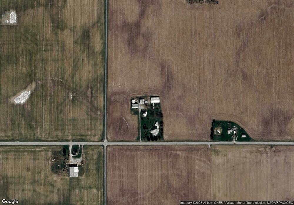
Map
Nearby Homes
- 6949 Sandusky Ave
- 712 Eulala Ave
- 5067 Ohio 4
- 2916 Spore Brandywine Rd
- 7387 Crawford Wyandot County Line Rd
- 335 Township Highway 15
- 0 S Marion St
- 0 Donnenwirth Rd
- 25 Jefferson St
- 11 Maple St
- 426 Jeffrey Dr
- 7335 S Township Road 159
- 0 S Tr 173 Unit 20252747
- 3781 State Route 4
- 4432 Marion Melmore Rd
- 6605 S State Route 100
- 5053 S County Road 35
- 5030 State Route 98
- 1575 N Sandusky Ave
- 3424 State Route 98