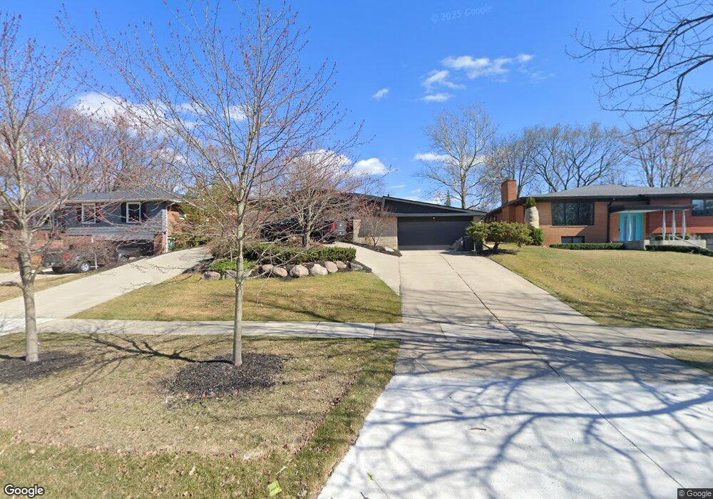
2426 Vinsetta Blvd Unit Bldg-Unit Royal Oak, MI 48073
Estimated Value: $605,329 - $677,000
3
Beds
2
Baths
1,611
Sq Ft
$389/Sq Ft
Est. Value
About This Home
This home is located at 2426 Vinsetta Blvd Unit Bldg-Unit, Royal Oak, MI 48073 and is currently estimated at $626,332, approximately $388 per square foot. 2426 Vinsetta Blvd Unit Bldg-Unit is a home located in Oakland County with nearby schools including Northwood Elementary School, Royal Oak Middle School, and Royal Oak High School.
Ownership History
Date
Name
Owned For
Owner Type
Purchase Details
Closed on
Sep 14, 2018
Sold by
Doner Bonnie
Bought by
Thompson Courtney
Current Estimated Value
Purchase Details
Closed on
Mar 29, 2018
Sold by
Lambert Retha
Bought by
Doner Bannie
Create a Home Valuation Report for This Property
The Home Valuation Report is an in-depth analysis detailing your home's value as well as a comparison with similar homes in the area
Home Values in the Area
Average Home Value in this Area
Purchase History
| Date | Buyer | Sale Price | Title Company |
|---|---|---|---|
| Thompson Courtney | $430,000 | None Available | |
| Doner Bannie | -- | None Available |
Source: Public Records
Tax History Compared to Growth
Tax History
| Year | Tax Paid | Tax Assessment Tax Assessment Total Assessment is a certain percentage of the fair market value that is determined by local assessors to be the total taxable value of land and additions on the property. | Land | Improvement |
|---|---|---|---|---|
| 2024 | $6,179 | $238,580 | $0 | $0 |
| 2022 | $7,300 | $210,690 | $0 | $0 |
| 2020 | $6,004 | $182,940 | $0 | $0 |
| 2018 | $7,300 | $162,910 | $0 | $0 |
| 2017 | $7,106 | $162,910 | $0 | $0 |
| 2015 | -- | $129,870 | $0 | $0 |
| 2014 | -- | $122,160 | $0 | $0 |
| 2011 | -- | $120,590 | $0 | $0 |
Source: Public Records
Map
Nearby Homes
- 817 Magnolia Ave
- 1211 Smith Ave
- 629 W Houstonia Ave
- 508 W Houstonia Ave
- 2115 Marywood Dr
- 1123 Royal Ave
- 816 Royal Ave
- 2438 Evergreen Dr
- 2015 Alicia Ln
- 922 Butternut Ave
- 2814 Crooks Rd
- 1433 Royal Ave
- 227 W Houstonia Ave
- 719 W 12 Mile Rd
- 2422 Oliver Rd
- 3303 Vinsetta Blvd
- 3316 Vinsetta Blvd
- 127 La Plaza Ct
- 1828 N Lafayette Ave
- 1833 N Washington Ave
- 2426 Vinsetta Blvd
- 2432 Vinsetta Blvd
- 2416 Vinsetta Blvd
- 2408 Vinsetta Blvd
- 818 Magnolia Ave
- 2500 Vinsetta Blvd
- 2600 Vinsetta Blvd
- 907 Magnolia Ave
- 806 Magnolia Ave
- 802 Magnolia Ave
- 913 Magnolia Ave
- 2602 Vinsetta Blvd
- 2425 Vinsetta Blvd
- 901 Magnolia Ave
- 923 Magnolia Ave
- 726 Magnolia Ave
- 815 Magnolia Ave
- 823 Magnolia Ave
- 2503 Marais Ave
- 2620 Vinsetta Blvd