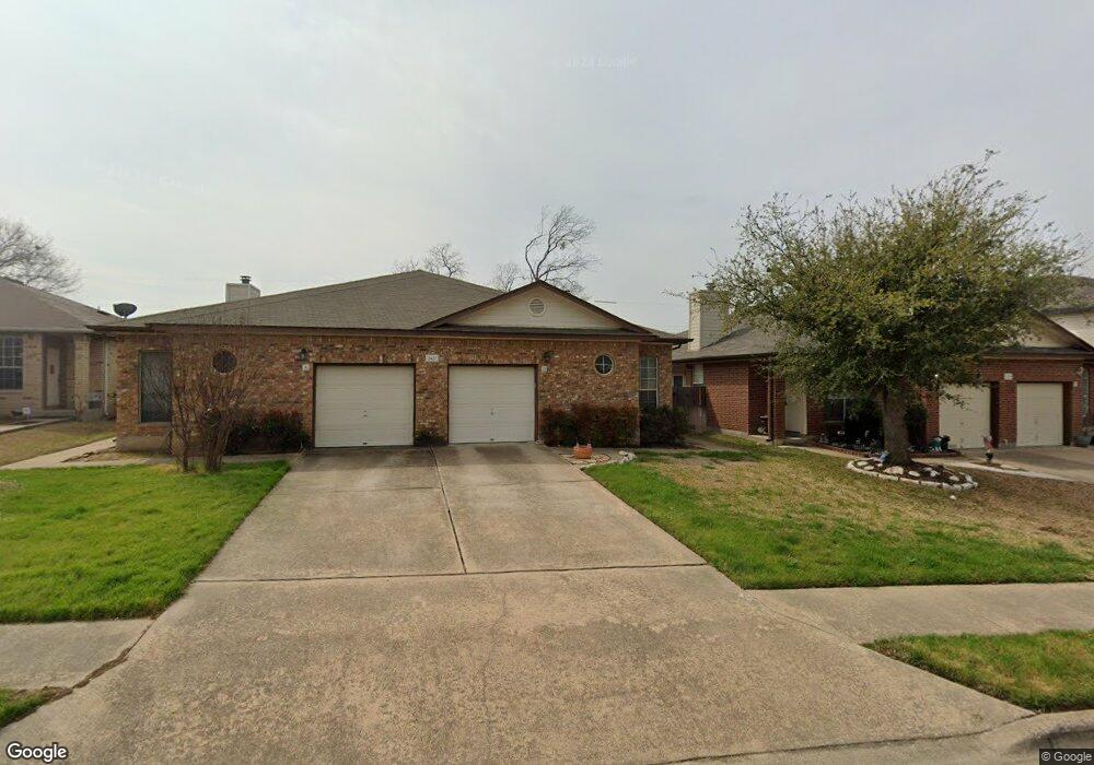
2427B Curry Loop Round Rock, TX 78664
Stony Point NeighborhoodEstimated Value: $247,765 - $321,000
Studio
3
Baths
1,153
Sq Ft
$261/Sq Ft
Est. Value
About This Home
This home is located at 2427B Curry Loop, Round Rock, TX 78664 and is currently estimated at $300,691, approximately $260 per square foot. 2427B Curry Loop is a home located in Williamson County with nearby schools including Union Hill Elementary School, Hernandez Middle School, and Stony Point High IB World School.
Ownership History
Date
Name
Owned For
Owner Type
Purchase Details
Closed on
Aug 1, 2006
Sold by
Schiffman Mary Catherine and Schiffman Dale
Bought by
Cervenka Mary G
Current Estimated Value
Home Financials for this Owner
Home Financials are based on the most recent Mortgage that was taken out on this home.
Original Mortgage
$70,000
Outstanding Balance
$42,050
Interest Rate
6.77%
Mortgage Type
Purchase Money Mortgage
Estimated Equity
$258,641
Create a Home Valuation Report for This Property
The Home Valuation Report is an in-depth analysis detailing your home's value as well as a comparison with similar homes in the area
Home Values in the Area
Average Home Value in this Area
Purchase History
| Date | Buyer | Sale Price | Title Company |
|---|---|---|---|
| Cervenka Mary G | -- | Landamerica Commonwealth Tit |
Source: Public Records
Mortgage History
| Date | Status | Borrower | Loan Amount |
|---|---|---|---|
| Open | Cervenka Mary G | $70,000 |
Source: Public Records
Tax History
| Year | Tax Paid | Tax Assessment Tax Assessment Total Assessment is a certain percentage of the fair market value that is determined by local assessors to be the total taxable value of land and additions on the property. | Land | Improvement |
|---|---|---|---|---|
| 2025 | $4,150 | $257,301 | $30,000 | $227,301 |
| 2024 | $4,150 | $234,267 | $30,000 | $204,267 |
| 2023 | $4,022 | $229,285 | $30,000 | $199,285 |
| 2022 | $4,737 | $249,776 | $30,000 | $219,776 |
| 2021 | $4,226 | $188,250 | $24,000 | $164,250 |
| 2020 | $3,738 | $165,587 | $22,833 | $142,754 |
| 2019 | $3,612 | $156,443 | $19,950 | $136,493 |
| 2018 | $3,358 | $145,437 | $18,725 | $126,712 |
| 2017 | $2,956 | $125,492 | $17,500 | $107,992 |
| 2016 | $2,751 | $116,778 | $17,500 | $99,278 |
| 2015 | $2,455 | $113,285 | $15,000 | $98,285 |
| 2014 | $2,455 | $104,338 | $0 | $0 |
Source: Public Records
Map
Nearby Homes
- 909 Clearwater Trail
- 2407A Curry Loop
- 800 Saunders Dr
- 1481 E Old Settlers Blvd Unit 1401
- 609 Clearwater Trail
- 606 Misty Morning Way Unit A and B
- 2101 Jester Farms
- 1003 Whispering Dr
- 2008 Meadow Brook Dr
- 1008 Ridgeline Dr
- 3000 Sunrise Rd
- 2067 Buckley Ln
- 2034 Buckley Ln
- 3009 Pioneer Way
- 2006 Heathwood Cir
- 1107 Long Meadow Dr
- 2471 Sunrise Rd Unit 2
- 2471 Sunrise Rd Unit 64
- 1708 W Mesa Park Dr
- 2690 Bradley Ln
- 2427A Curry Loop
- 2429A Curry Loop
- 2429 Curry Loop Unit A
- 2429 Curry Loop Unit B
- 2429B Curry Loop
- 2429B Curry Loop Unit B
- 2425B Curry Loop
- 2425 Curry Loop Unit A
- 2425 Curry Loop
- 2431A Curry Loop
- 2425A Curry Loop
- 2431 Curry Loop Unit B
- 2431 Curry Loop Unit A
- 907 Saunders Dr
- 2423 Curry Loop
- 2431B Curry Loop
- 909 Saunders Dr
- 2423B Curry Loop
- 905 Saunders Dr
- 2420A Curry Loop
Your Personal Tour Guide
Ask me questions while you tour the home.