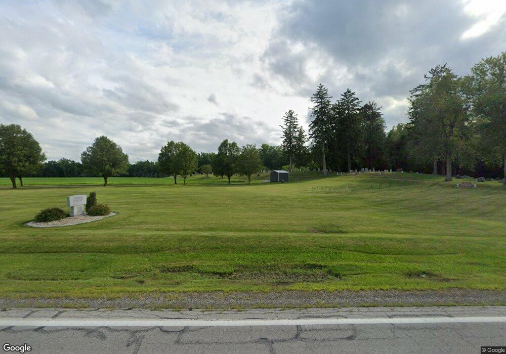
24283 Us Highway 20a Archbold, OH 43502
Estimated Value: $30,000 - $315,000
--
Bed
1
Bath
--
Sq Ft
1
Acres
About This Home
This home is located at 24283 Us Highway 20a, Archbold, OH 43502 and is currently estimated at $102,877. 24283 Us Highway 20a is a home located in Fulton County with nearby schools including Archbold Elementary School, Archbold Middle School, and Archbold High School.
Ownership History
Date
Name
Owned For
Owner Type
Purchase Details
Closed on
Jan 18, 2021
Sold by
Stuckey David L and David L Stuckey Trust
Bought by
Page Clark Allen and Page Dana Jean
Current Estimated Value
Purchase Details
Closed on
May 18, 2020
Sold by
Stuckey David L
Bought by
Stuckey David L Trustee
Purchase Details
Closed on
Mar 9, 2011
Sold by
Contreras Carlos and Contreras Felipe S
Bought by
Stuckey David L
Purchase Details
Closed on
Aug 26, 1996
Sold by
Contreras Asa E B
Bought by
Contreras Carlos F and Contreras Virignia A
Purchase Details
Closed on
Jan 1, 1990
Bought by
Contreras Felipe S and Contreras Asa
Create a Home Valuation Report for This Property
The Home Valuation Report is an in-depth analysis detailing your home's value as well as a comparison with similar homes in the area
Home Values in the Area
Average Home Value in this Area
Purchase History
| Date | Buyer | Sale Price | Title Company |
|---|---|---|---|
| Page Clark Allen | $22,000 | None Available | |
| Stuckey David L Trustee | -- | -- | |
| Stuckey David L | $3,000 | Attorney | |
| Contreras Carlos F | $8,000 | -- | |
| Contreras Felipe S | -- | -- |
Source: Public Records
Tax History Compared to Growth
Tax History
| Year | Tax Paid | Tax Assessment Tax Assessment Total Assessment is a certain percentage of the fair market value that is determined by local assessors to be the total taxable value of land and additions on the property. | Land | Improvement |
|---|---|---|---|---|
| 2024 | $103 | $2,100 | $2,100 | $0 |
| 2023 | $105 | $2,100 | $2,100 | $0 |
| 2022 | $80 | $1,750 | $1,750 | $0 |
| 2021 | $80 | $1,750 | $1,750 | $0 |
| 2020 | $81 | $1,750 | $1,750 | $0 |
| 2019 | $61 | $1,260 | $1,260 | $0 |
| 2018 | $31 | $1,260 | $1,260 | $0 |
| 2017 | $60 | $1,260 | $1,260 | $0 |
| 2016 | $58 | $1,260 | $1,260 | $0 |
| 2015 | $53 | $1,260 | $1,260 | $0 |
| 2014 | $53 | $1,260 | $1,260 | $0 |
| 2013 | $35 | $810 | $810 | $0 |
Source: Public Records
Map
Nearby Homes
- 7170 County Road 23
- 23161 County Road Jk
- 552 Quail Run
- 433 Primrose Ln
- 22227 Us Highway 20a
- 301 N Pointe Dr
- 300 Degroff Ave
- 404 Walnut St
- 24218 State Route 2
- 203 E Williams St
- 804 Murbach St
- 307 Middle St
- 0 Lafayette St
- 0 S Defiance St
- 200 Burke St
- 3063 County Road 26-2
- 112 Sylvanus St
- 000 W Jackson
- 340 S Main St
- 311 W Rings St
- 24340 Us Highway 20a
- 24280 Us Highway 20a
- 24078 Us Highway 20a
- 24541 Us Highway 20a
- 7555 State Route 66
- 7477 State Route 66
- 7162 Ohio 66
- 23979 Ohio 66
- 0 County Road 24
- 0 County Road 24 Unit 6064890
- 7512 State Route 66
- 7512 State Route 66
- 24119 County Road H
- 7196 County Road 24
- 24809 Us Highway 20a
- 24232 County Road H
- 7071 County Road 24
- 7090 County Road 24
- 7494 County Road 25
- 23877 County Road G
