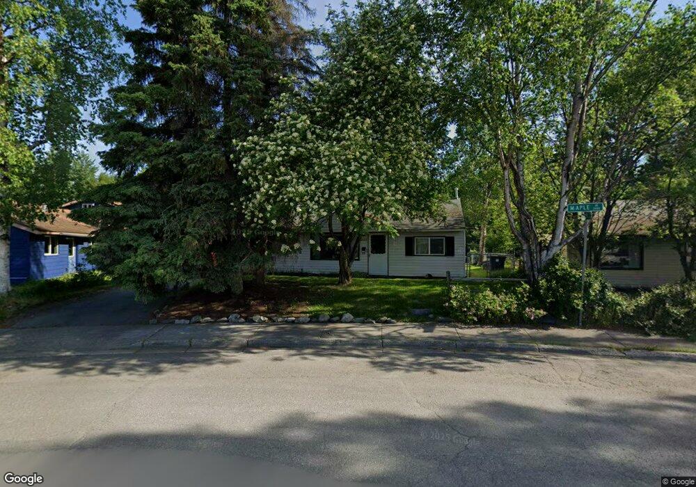
2429 Maple Ave Anchorage, AK 99508
Airport Heights NeighborhoodEstimated Value: $197,000 - $329,231
3
Beds
1
Bath
1,033
Sq Ft
$274/Sq Ft
Est. Value
About This Home
This home is located at 2429 Maple Ave, Anchorage, AK 99508 and is currently estimated at $283,077, approximately $274 per square foot. 2429 Maple Ave is a home located in Anchorage Municipality with nearby schools including Lake Otis Elementary School, Wendler Middle School, and Bettye Davis East Anchorage High School.
Ownership History
Date
Name
Owned For
Owner Type
Purchase Details
Closed on
Jul 27, 1995
Sold by
Roy Kenneth C and Roy Miriam D
Bought by
Ruckes Peter M and Ruckes Mitsuko Ikeno
Current Estimated Value
Home Financials for this Owner
Home Financials are based on the most recent Mortgage that was taken out on this home.
Original Mortgage
$46,500
Interest Rate
7.62%
Mortgage Type
New Conventional
Create a Home Valuation Report for This Property
The Home Valuation Report is an in-depth analysis detailing your home's value as well as a comparison with similar homes in the area
Home Values in the Area
Average Home Value in this Area
Purchase History
| Date | Buyer | Sale Price | Title Company |
|---|---|---|---|
| Ruckes Peter M | -- | -- |
Source: Public Records
Mortgage History
| Date | Status | Borrower | Loan Amount |
|---|---|---|---|
| Closed | Ruckes Peter M | $46,500 |
Source: Public Records
Tax History Compared to Growth
Tax History
| Year | Tax Paid | Tax Assessment Tax Assessment Total Assessment is a certain percentage of the fair market value that is determined by local assessors to be the total taxable value of land and additions on the property. | Land | Improvement |
|---|---|---|---|---|
| 2025 | $1,035 | $303,700 | $122,800 | $180,900 |
| 2024 | $1,035 | $289,100 | $122,800 | $166,300 |
| 2023 | $599 | $260,200 | $122,800 | $137,400 |
| 2022 | $1,280 | $276,000 | $122,800 | $153,200 |
| 2021 | $4,608 | $255,700 | $122,800 | $132,900 |
| 2020 | $3,472 | $254,500 | $122,800 | $131,700 |
| 2019 | $3,297 | $251,500 | $122,800 | $128,700 |
| 2018 | $3,324 | $252,700 | $122,800 | $129,900 |
| 2017 | $3,841 | $265,300 | $122,800 | $142,500 |
| 2016 | $3,002 | $258,400 | $122,800 | $135,600 |
| 2015 | $3,002 | $245,300 | $122,800 | $122,500 |
| 2014 | $3,002 | $246,500 | $122,800 | $123,700 |
Source: Public Records
Map
Nearby Homes
- 2028 Shepherdia Dr
- 2124 Sorbus Way
- 000 Tr A Thurston
- 1833 Parkside Dr
- 2215 Sunburst Cir
- 1701 Aleutian St
- 1803 Parkside Dr
- 2456 Cottonwood St
- 1634 Stanford Dr
- 3411 Princeton Way
- 3701 Young St
- 3514 E 19th Ave
- 2635 Latouche St
- 3433 E 18th Ave
- 1414 Airport Heights Dr
- 3316 Vassar Dr
- 1740 Crescent Cir
- 3531 Wingate Cir
- 1430 Columbine St
- 1001 E Fireweed Ln
- 2421 Maple Ave
- 2509 Maple Ave
- 2411 Maple Ave
- 2411 Northrup Cir
- 2426 Maple Ave
- 2513 Porter Place
- 2401 Maple Ave
- 2501 Northrup Place
- 2518 Porter Place
- 2519 Porter Place
- 2401 Northrup Cir
- 2511 Northrup Place
- 2527 Porter Place
- 2528 Porter Place
- 2414 Northrup Cir
- 2521 Northrup Place
- 2553 Lovejoy Dr
- 2500 Northrup Place
- 2537 Lovejoy Dr
- 2538 Porter Place