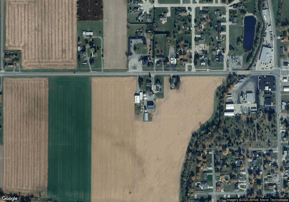
24290 Lincoln Hwy Delphos, OH 45833
Estimated Value: $250,000 - $847,000
3
Beds
2
Baths
1,652
Sq Ft
$376/Sq Ft
Est. Value
About This Home
This home is located at 24290 Lincoln Hwy, Delphos, OH 45833 and is currently estimated at $620,696, approximately $375 per square foot. 24290 Lincoln Hwy is a home located in Van Wert County with nearby schools including Delphos St. John's High School and Delphos St. John's Elementary School.
Ownership History
Date
Name
Owned For
Owner Type
Purchase Details
Closed on
Feb 6, 2021
Sold by
Fuz Dee Cardinal Llc
Bought by
Pohlman Dennis D and Pohlman Victoria S
Current Estimated Value
Home Financials for this Owner
Home Financials are based on the most recent Mortgage that was taken out on this home.
Original Mortgage
$76,105
Outstanding Balance
$6,726
Interest Rate
2.6%
Mortgage Type
Commercial
Estimated Equity
$613,970
Create a Home Valuation Report for This Property
The Home Valuation Report is an in-depth analysis detailing your home's value as well as a comparison with similar homes in the area
Home Values in the Area
Average Home Value in this Area
Purchase History
| Date | Buyer | Sale Price | Title Company |
|---|---|---|---|
| Pohlman Dennis D | $630,000 | None Available |
Source: Public Records
Mortgage History
| Date | Status | Borrower | Loan Amount |
|---|---|---|---|
| Open | Pohlman Dennis D | $76,105 |
Source: Public Records
Tax History Compared to Growth
Tax History
| Year | Tax Paid | Tax Assessment Tax Assessment Total Assessment is a certain percentage of the fair market value that is determined by local assessors to be the total taxable value of land and additions on the property. | Land | Improvement |
|---|---|---|---|---|
| 2024 | $3,072 | $101,040 | $36,740 | $64,300 |
| 2023 | $3,072 | $101,040 | $36,740 | $64,300 |
| 2022 | $2,142 | $62,630 | $21,250 | $41,380 |
| 2021 | $2,118 | $62,630 | $21,250 | $41,380 |
| 2020 | $1,897 | $62,630 | $21,250 | $41,380 |
| 2019 | $1,838 | $69,320 | $30,380 | $38,940 |
| 2018 | $1,863 | $69,320 | $30,380 | $38,940 |
| 2017 | $1,878 | $70,760 | $31,820 | $38,940 |
| 2016 | $1,836 | $73,590 | $40,770 | $32,820 |
| 2015 | $1,836 | $73,590 | $40,770 | $32,820 |
| 2014 | $1,992 | $75,660 | $40,670 | $34,990 |
| 2013 | $1,503 | $55,840 | $20,850 | $34,990 |
Source: Public Records
Map
Nearby Homes
- 616 W 5th St
- 409 N Bredeick St
- 604 W 6th St
- 503 W 6th St
- 606 S Cass St
- 221 S Main St
- 210 E 3rd St
- 610 N Washington St
- 424 S Canal St
- 634 S Clay St
- 405 N Franklin St
- 704 N Franklin St
- 810 N Franklin St
- 11630 Clearview Dr
- 628 N Pierce St
- 516 S Main St
- 508 S Washington St
- 827 S Washington St
- 633 E 2nd St
- 650 E 6th St
- 23998 Lincoln Hwy
- 24296 Lincoln Hwy
- 24277 Lincoln Hwy
- 24297 Lincoln Hwy
- 24330 Lincoln Hwy
- 24313 Lincoln Hwy
- 24333 Lincoln Hwy
- 1100 W 5th St
- 24249 Lincoln Hwy
- 24149 Lincoln Hwy Unit B
- 503 Menke St
- 24399 Lincoln Hwy
- 1215 William Ave Unit 1200
- 1125 William Ave
- 1219 William Ave
- 507 Menke St
- 503 William Ave
- 239 Westbrook Ave
- 1214 William Ave Unit 1214