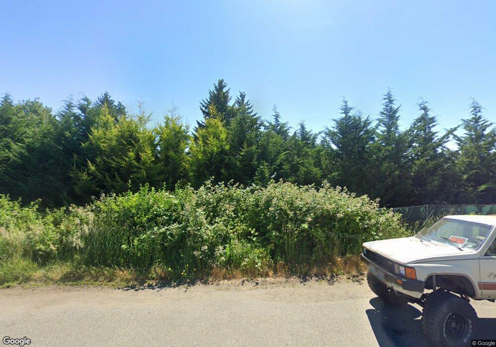
24290 N Us Highway 101 Hoodsport, WA 98548
Estimated Value: $415,000 - $786,610
2
Beds
2
Baths
3,472
Sq Ft
$178/Sq Ft
Est. Value
About This Home
This home is located at 24290 N Us Highway 101, Hoodsport, WA 98548 and is currently estimated at $617,403, approximately $177 per square foot. 24290 N Us Highway 101 is a home with nearby schools including Hood Canal Elementary/Junior High School.
Ownership History
Date
Name
Owned For
Owner Type
Purchase Details
Closed on
Apr 26, 2018
Sold by
Security State Bank and Reed C Boysen Subtrust Of The Fred C And
Bought by
Boysen Reed C
Current Estimated Value
Purchase Details
Closed on
Apr 17, 2018
Sold by
Security State Bank
Bought by
Boysen Reed C
Purchase Details
Closed on
Sep 15, 2016
Sold by
Security State Bank
Bought by
Boysen Jack F
Purchase Details
Closed on
May 16, 2011
Sold by
Us Bank Na
Bought by
Security State Bank
Purchase Details
Closed on
Aug 7, 2006
Sold by
Degel James
Bought by
Us Bank Na and Reed C Boysen Subtrust Of The Fred C & D
Create a Home Valuation Report for This Property
The Home Valuation Report is an in-depth analysis detailing your home's value as well as a comparison with similar homes in the area
Home Values in the Area
Average Home Value in this Area
Purchase History
| Date | Buyer | Sale Price | Title Company |
|---|---|---|---|
| Boysen Reed C | -- | None Listed On Document | |
| Boysen Reed C | -- | None Available | |
| Boysen Jack F | -- | None Available | |
| Security State Bank | -- | None Available | |
| Security State Bank | -- | None Available | |
| Us Bank Na | -- | None Available |
Source: Public Records
Tax History Compared to Growth
Tax History
| Year | Tax Paid | Tax Assessment Tax Assessment Total Assessment is a certain percentage of the fair market value that is determined by local assessors to be the total taxable value of land and additions on the property. | Land | Improvement |
|---|---|---|---|---|
| 2025 | $3,721 | $617,175 | $317,205 | $299,970 |
| 2023 | $3,721 | $482,045 | $317,205 | $164,840 |
| 2022 | $4,039 | $452,760 | $317,205 | $135,555 |
| 2021 | $4,809 | $452,760 | $317,205 | $135,555 |
| 2020 | $6,440 | $463,465 | $325,310 | $138,155 |
| 2018 | $6,715 | $675,545 | $529,020 | $146,525 |
| 2017 | $5,517 | $675,545 | $529,020 | $146,525 |
| 2016 | $5,343 | $583,975 | $529,020 | $54,955 |
| 2015 | $4,949 | $583,975 | $529,020 | $54,955 |
| 2014 | -- | $532,110 | $480,925 | $51,185 |
| 2013 | -- | $771,185 | $720,000 | $51,185 |
Source: Public Records
Map
Nearby Homes
- 130 Lot: B Ptn Blk: 15
- 121 N Hill Rd
- 161 N Schoolhouse Hill Rd
- 51 N Old Mill Hill Rd
- 141 N North Hill Rd
- 150 N North Hill Dr
- 0 N Us Highway 101 Unit NWM2394972
- 650 N Lake Cushman Rd
- 5156 N Lake Cushman Rd
- 491 N Suncrest Dr
- 151 N Susan Ave
- 26141 U S 101
- 21 N Mardell Ave
- 251 NE Yew Tree Ln
- 30 N Brook Ln
- 101 N Brook Ln
- 131 Rainbow Way E
- 301 N Chinook Dr N
- 91 N Fairway Dr E
- 0 Silver Ln N
- 24270 N Us Highway 101
- 24242 N Us Highway 101
- 24252 N Us Highway 101
- 24240 N Us Highway 101
- 131 U S 101
- 129 U S 101
- 128 U S 101
- 130 U S 101
- 126 U S 101
- 127 U S 101
- 8 U S 101
- 25580 N Us Highway 101
- 0 Lot B Us Hiway 101 Unit 921607
- 101 None Assigned
- 24240 U S 101
- 24220 U S 101
- 24220 N Us Highway 101
- 24230 N Us Highway 101
- 24230 U S 101
- 0 Lake Cushman Forest Reserve Unit 1040986
