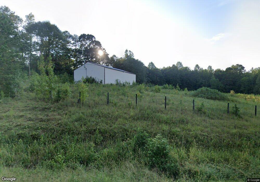
24294 Highway 59 Commerce, GA 30530
Estimated Value: $75,349 - $240,000
--
Bed
--
Bath
--
Sq Ft
5.03
Acres
About This Home
This home is located at 24294 Highway 59, Commerce, GA 30530 and is currently estimated at $168,450. 24294 Highway 59 is a home with nearby schools including Franklin County High School.
Ownership History
Date
Name
Owned For
Owner Type
Purchase Details
Closed on
Apr 8, 2011
Sold by
Eubanks Martha Ann
Bought by
Bennett Paul
Current Estimated Value
Purchase Details
Closed on
Jan 12, 2010
Sold by
Eubanks Arthur L
Bought by
Eubanks Martha Ann
Purchase Details
Closed on
Feb 24, 2001
Sold by
Eubanks Jerry Lee
Bought by
Eubanks Arthur L
Purchase Details
Closed on
Aug 31, 2000
Sold by
Eubanks Jerry Lee
Bought by
Eubanks Jerry Lee
Purchase Details
Closed on
Nov 2, 1982
Bought by
Eubanks Jerry Lee
Create a Home Valuation Report for This Property
The Home Valuation Report is an in-depth analysis detailing your home's value as well as a comparison with similar homes in the area
Home Values in the Area
Average Home Value in this Area
Purchase History
| Date | Buyer | Sale Price | Title Company |
|---|---|---|---|
| Bennett Paul | $32,000 | -- | |
| Bennett Paul | $32,000 | -- | |
| Eubanks Martha Ann | -- | -- | |
| Eubanks Arthur L | $3,000 | -- | |
| Eubanks Jerry Lee | -- | -- | |
| Eubanks Jerry Lee | -- | -- |
Source: Public Records
Tax History Compared to Growth
Tax History
| Year | Tax Paid | Tax Assessment Tax Assessment Total Assessment is a certain percentage of the fair market value that is determined by local assessors to be the total taxable value of land and additions on the property. | Land | Improvement |
|---|---|---|---|---|
| 2024 | $364 | $15,279 | $12,767 | $2,512 |
| 2023 | $364 | $14,118 | $11,606 | $2,512 |
| 2022 | $302 | $11,720 | $9,208 | $2,512 |
| 2021 | $327 | $11,873 | $9,208 | $2,665 |
| 2020 | $330 | $11,873 | $9,208 | $2,665 |
| 2019 | $319 | $11,873 | $9,208 | $2,665 |
| 2018 | $374 | $13,929 | $8,852 | $5,077 |
| 2017 | $389 | $13,929 | $8,852 | $5,077 |
| 2016 | $406 | $13,929 | $8,852 | $5,077 |
| 2015 | -- | $13,929 | $8,852 | $5,077 |
| 2014 | -- | $13,929 | $8,852 | $5,077 |
Source: Public Records
Map
Nearby Homes
- 2100 Westbrook Rd
- 0 Varner Rd
- 161 Meadow Lake Dr
- 139 Meadow Lake Dr
- 2090 Southern Seed Way
- 1065 Hebron Rd
- 731 Borders Rd
- 0 Highway 59 Unit 10257590
- 0 Highway 59 Unit 10257605
- 823 Highway 63
- 1111 Georgia 63
- 333 Sims Bridge Rd
- 0 Freedom Ln Unit 9B
- 0 Freedom Ln Unit 18C 10380663
- 0 Freedom Ln Unit 9D
- 0 Freedom Ln Unit 9C
- 0 Freedom Ln Unit 18B 10379747
- 0 Freedom Ln Unit 9E
- 0 Bennett Rd Unit 23200799
- 166 Freedom Ln
- 24954 Highway 59
- 24875 Highway 59
- 24818 Highway 59
- 24845 Highway 59
- 24955 Highway 59
- 24828 Highway 59
- 0 Neal Rd I 85 Unit 7485542
- 60 Neal Rd
- 6761 Bold Springs Rd
- 3685 Highway 59
- 245 Neal Rd
- 3669 Highway 59
- 203 Neal Ln
- 6750 Bold Springs Rd
- 6677 Bold Springs Rd
- 24634 Highway 59
- 255 Neal Rd
- 287 Neal Rd
- 24632 Highway 59
- 24634 Georgia 59