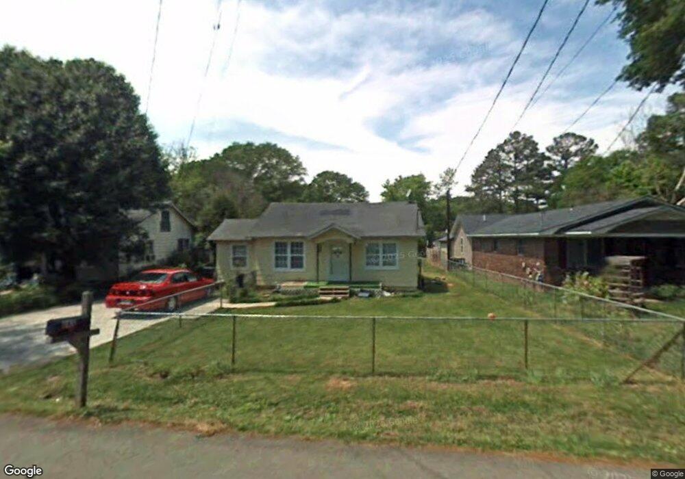
243 Adams Ave Cedartown, GA 30125
Estimated Value: $146,000 - $196,000
4
Beds
1
Bath
1,364
Sq Ft
$121/Sq Ft
Est. Value
About This Home
This home is located at 243 Adams Ave, Cedartown, GA 30125 and is currently estimated at $165,613, approximately $121 per square foot. 243 Adams Ave is a home located in Polk County with nearby schools including Cedar Christian School.
Ownership History
Date
Name
Owned For
Owner Type
Purchase Details
Closed on
Oct 25, 2002
Sold by
Smith Jimmy Ray
Bought by
Alvarado Maria E
Current Estimated Value
Purchase Details
Closed on
Mar 6, 2002
Sold by
Mitchell Lynn R
Bought by
Smith Jimmy Ray
Purchase Details
Closed on
Feb 12, 2002
Sold by
Deyoung Charles and Deyoung Christy P
Bought by
Mitchell Lynn R
Purchase Details
Closed on
Jul 25, 1996
Sold by
Deyoung Daniel J and Deyoung Anna C
Bought by
Deyoung Charles D and Deyoung Christy P
Purchase Details
Closed on
Nov 3, 1978
Sold by
Gilmore Richard L
Bought by
Deyoung Daniel and Deyoung Ann
Purchase Details
Closed on
Jan 1, 1901
Bought by
Gilmore Richard L
Create a Home Valuation Report for This Property
The Home Valuation Report is an in-depth analysis detailing your home's value as well as a comparison with similar homes in the area
Home Values in the Area
Average Home Value in this Area
Purchase History
| Date | Buyer | Sale Price | Title Company |
|---|---|---|---|
| Alvarado Maria E | $35,000 | -- | |
| Smith Jimmy Ray | $32,300 | -- | |
| Mitchell Lynn R | $28,600 | -- | |
| Deyoung Charles D | $25,000 | -- | |
| Deyoung Daniel | -- | -- | |
| Gilmore Richard L | -- | -- |
Source: Public Records
Tax History Compared to Growth
Tax History
| Year | Tax Paid | Tax Assessment Tax Assessment Total Assessment is a certain percentage of the fair market value that is determined by local assessors to be the total taxable value of land and additions on the property. | Land | Improvement |
|---|---|---|---|---|
| 2024 | $977 | $48,724 | $2,200 | $46,524 |
| 2023 | $795 | $35,506 | $726 | $34,780 |
| 2022 | $679 | $30,593 | $726 | $29,867 |
| 2021 | $687 | $30,593 | $726 | $29,867 |
| 2020 | $689 | $30,593 | $726 | $29,867 |
| 2019 | $573 | $23,318 | $1,623 | $21,695 |
| 2018 | $563 | $22,416 | $1,391 | $21,025 |
| 2017 | $556 | $22,416 | $1,391 | $21,025 |
| 2016 | $556 | $22,416 | $1,391 | $21,025 |
| 2015 | $561 | $22,536 | $1,391 | $21,145 |
| 2014 | $565 | $22,536 | $1,391 | $21,145 |
Source: Public Records
Map
Nearby Homes
- 237 Adams Ave
- 245 Adams Ave
- 229 Adams Ave
- 4 Elsie Ln
- 244 Adams Ave
- 409 Collard Valley Rd
- 221 Adams Ave
- 248 Adams Ave
- 220 Adams Ave
- 2 Elsie Ln
- 252 Adams Ave
- 211 Collard Valley Rd
- 217 Adams Ave
- 213 Adams Ave
- 0 Adams Ave Unit 7491761
- 254 Adams Ave
- 0 Mcarthur St Unit 5903847
- 0 Mcarthur St Unit 8253438
- 0 Mcarthur St Unit 7518271
- 0 Mcarthur St Unit 5592003