Estimated Value: $385,025 - $510,000
--
Bed
--
Bath
2,614
Sq Ft
$170/Sq Ft
Est. Value
About This Home
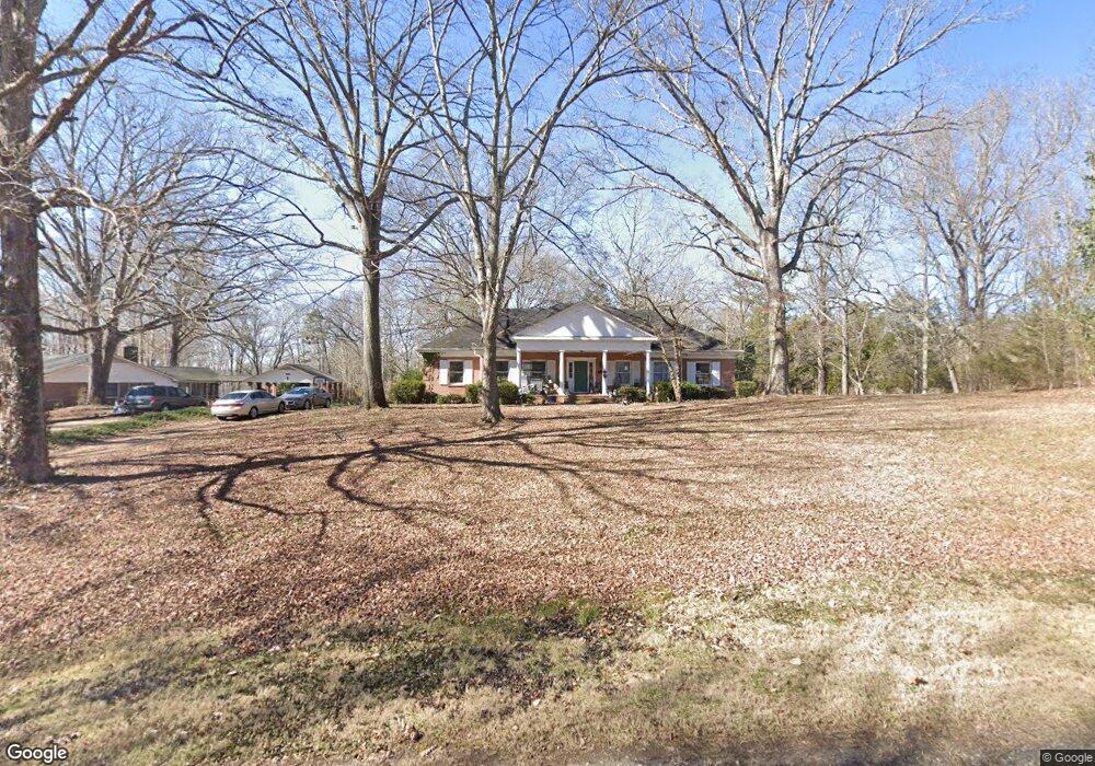
This home is located at 243 Amity Rd, York, SC 29745 and is currently estimated at $444,506, approximately $170 per square foot. 243 Amity Rd is a home located in York County with nearby schools including Cotton Belt Elementary School, York Intermediate School, and York Middle School.
Ownership History
Date
Name
Owned For
Owner Type
Purchase Details
Closed on
Jul 9, 2008
Sold by
Baker John Daniel
Bought by
Baker Donna S
Current Estimated Value
Home Financials for this Owner
Home Financials are based on the most recent Mortgage that was taken out on this home.
Original Mortgage
$150,000
Interest Rate
6.27%
Mortgage Type
New Conventional
Purchase Details
Closed on
Jun 25, 2001
Sold by
Powell Harper Jeanette K and Powell Kelly Hope
Bought by
Baker John D and Baker Donna S
Create a Home Valuation Report for This Property
The Home Valuation Report is an in-depth analysis detailing your home's value as well as a comparison with similar homes in the area
Home Values in the Area
Average Home Value in this Area
Purchase History
| Date | Buyer | Sale Price | Title Company |
|---|---|---|---|
| Baker Donna S | -- | -- | |
| Baker John D | $155,000 | -- |
Source: Public Records
Mortgage History
| Date | Status | Borrower | Loan Amount |
|---|---|---|---|
| Closed | Baker Donna S | $150,000 |
Source: Public Records
Tax History Compared to Growth
Tax History
| Year | Tax Paid | Tax Assessment Tax Assessment Total Assessment is a certain percentage of the fair market value that is determined by local assessors to be the total taxable value of land and additions on the property. | Land | Improvement |
|---|---|---|---|---|
| 2024 | $1,006 | $8,004 | $979 | $7,025 |
| 2023 | $1,369 | $8,004 | $979 | $7,025 |
| 2022 | $1,373 | $8,004 | $979 | $7,025 |
| 2021 | -- | $8,004 | $979 | $7,025 |
| 2020 | $1,369 | $8,004 | $0 | $0 |
| 2019 | $1,240 | $6,960 | $0 | $0 |
| 2018 | $1,192 | $6,960 | $0 | $0 |
| 2017 | $1,132 | $6,960 | $0 | $0 |
| 2016 | $1,116 | $6,960 | $0 | $0 |
| 2014 | $1,139 | $6,960 | $1,200 | $5,760 |
| 2013 | $1,139 | $7,600 | $1,200 | $6,400 |
Source: Public Records
Map
Nearby Homes
- 257 Amity Dr
- 1639 Mallard Bay Rd
- 1643 Mallard Bay Rd
- 1639 +1643 Mallard Bay Rd Unit 17 & 18
- 161 Bezelle Ave
- 266 Bezelle Ave
- 227 Bezelle Ave
- 235 Bezelle Ave
- Black Hwy
- Harlow Plan at The Meadows at Asbury Ridge
- Kephart Plan at The Meadows at Asbury Ridge
- Mitchell Plan at The Meadows at Asbury Ridge
- Rowan Plan at The Meadows at Asbury Ridge
- 000 Black Hwy
- 232 Bezelle Ave
- 236 Bezelle Ave
- 240 Bezelle Ave
- 244 Bezelle Ave
- 248 Bezelle Ave
- 247 Bezelle Ave
- 257 Amity Rd
- Lot 16 Mallard Bay Dr
- 218 Killdeer Dr
- 242 Amity Dr
- 242 Amity Rd
- 240 Killdeer Dr
- lot3 Amity Rd
- 1491 Black Hwy Unit 1
- 251 Killdeer Dr
- Lot 3 Amity Dr
- 1485 Black Hwy
- 266 Amity Rd
- 1512 Kinglet Dr
- 241 Killdeer Dr
- 209 Killdeer Dr
- 1515 Mallard Bay Dr
- 1573 Mallard Bay Dr
- 1479 Black Hwy
- 1463 Black Hwy
- 1577 Kinglet Dr