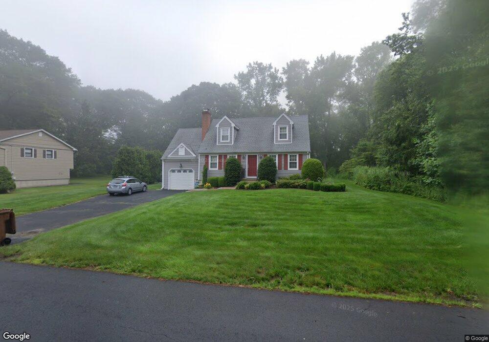
243 Beardsley Rd Shelton, CT 06484
Estimated Value: $540,000 - $594,000
3
Beds
2
Baths
1,606
Sq Ft
$355/Sq Ft
Est. Value
About This Home
This home is located at 243 Beardsley Rd, Shelton, CT 06484 and is currently estimated at $570,702, approximately $355 per square foot. 243 Beardsley Rd is a home located in Fairfield County with nearby schools including Elizabeth Shelton Elementary School, Perry Hill School, and Shelton Intermediate School.
Ownership History
Date
Name
Owned For
Owner Type
Purchase Details
Closed on
Mar 31, 1993
Sold by
Mccormack Kevin
Bought by
Duncan Barbara and Stockmal Edward
Current Estimated Value
Home Financials for this Owner
Home Financials are based on the most recent Mortgage that was taken out on this home.
Original Mortgage
$173,500
Interest Rate
7.6%
Mortgage Type
Unknown
Purchase Details
Closed on
Jun 16, 1987
Sold by
Toth Lauren
Bought by
Mccormack Kevin
Create a Home Valuation Report for This Property
The Home Valuation Report is an in-depth analysis detailing your home's value as well as a comparison with similar homes in the area
Home Values in the Area
Average Home Value in this Area
Purchase History
| Date | Buyer | Sale Price | Title Company |
|---|---|---|---|
| Duncan Barbara | $193,500 | -- | |
| Duncan Barbara | $193,500 | -- | |
| Mccormack Kevin | $242,000 | -- |
Source: Public Records
Mortgage History
| Date | Status | Borrower | Loan Amount |
|---|---|---|---|
| Closed | Mccormack Kevin | $106,000 | |
| Closed | Mccormack Kevin | $168,000 | |
| Closed | Mccormack Kevin | $146,500 | |
| Closed | Mccormack Kevin | $173,500 |
Source: Public Records
Tax History
| Year | Tax Paid | Tax Assessment Tax Assessment Total Assessment is a certain percentage of the fair market value that is determined by local assessors to be the total taxable value of land and additions on the property. | Land | Improvement |
|---|---|---|---|---|
| 2025 | $5,566 | $295,750 | $90,160 | $205,590 |
| 2024 | $5,672 | $295,750 | $90,160 | $205,590 |
| 2023 | $5,167 | $295,750 | $90,160 | $205,590 |
| 2022 | $5,167 | $295,750 | $90,160 | $205,590 |
| 2021 | $4,275 | $194,040 | $61,740 | $132,300 |
| 2020 | $4,350 | $194,040 | $61,740 | $132,300 |
| 2019 | $4,350 | $194,040 | $61,740 | $132,300 |
| 2017 | $4,310 | $194,040 | $61,740 | $132,300 |
| 2015 | $4,218 | $189,070 | $59,850 | $129,220 |
| 2014 | $4,218 | $189,070 | $59,850 | $129,220 |
Source: Public Records
Map
Nearby Homes
- 41 Longfellow Rd
- 30 E Village Rd
- 6 Chaucer Dr
- 32 Valley View Rd
- 128 Barn Hill Rd
- 455 Barn Hill Rd
- 7 Canterbury Ln
- 67 Hillside Ln
- 36 Spinning Wheel Rd
- 65 Trailside Dr Unit 67
- 1161 Monroe Turnpike
- 1093 Monroe Turnpike
- 56 Lazy Brook Rd
- 15 Legacy Ln
- 1115 Monroe Turnpike
- 24 Legacy Ln
- 567 Roosevelt Dr
- 12 Great Meadow Rd
- 3 Roosevelt Dr
- 154 S Benham Rd
- 247 Beardsley Rd
- 251 Beardsley Rd
- 229 Beardsley Rd
- 248 Beardsley Rd
- 93 Stendahl Dr
- 57 Stendahl Dr
- 65 Stendahl Dr
- 51 Stendahl Dr
- 259 Beardsley Rd
- 228 Beardsley Rd
- 67 Stendahl Dr
- 55 Stendahl Dr
- 69 Stendahl Dr
- 258 Beardsley Rd
- 263 Beardsley Rd
- 73 Stendahl Dr
- 225 Beardsley Rd
- 58 Stendahl Dr
- 56 Stendahl Dr
- 60 Stendahl Dr
Your Personal Tour Guide
Ask me questions while you tour the home.