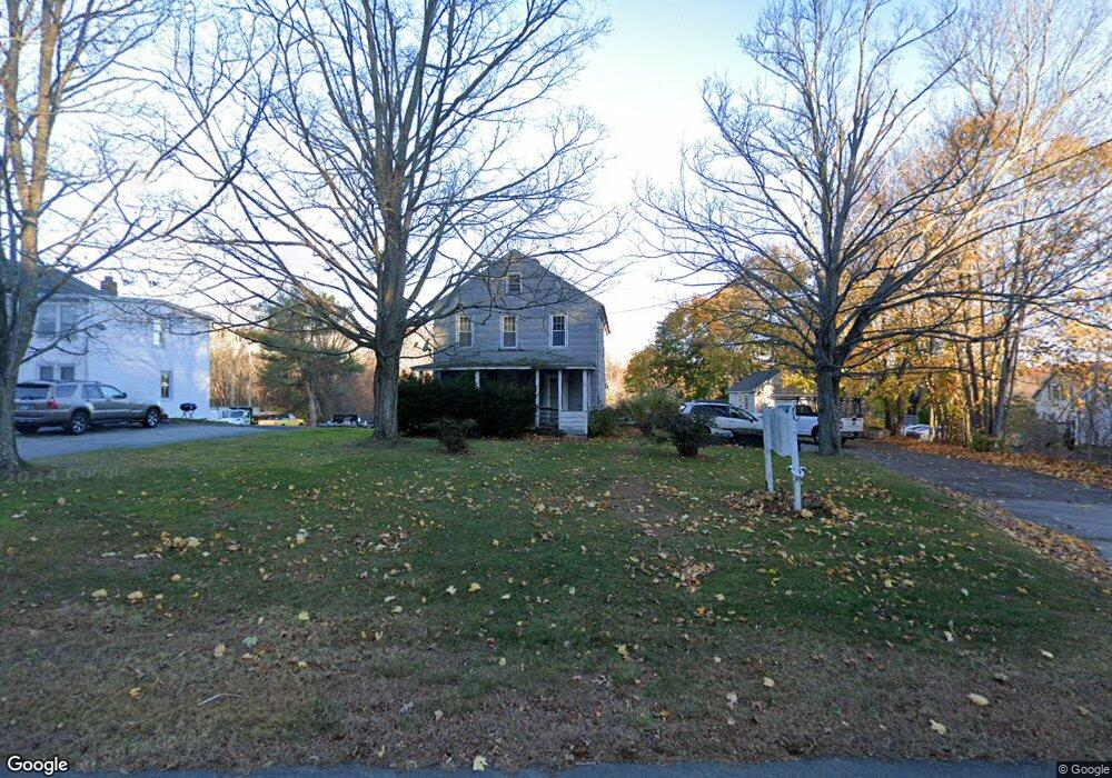
243 Boston Post Rd East Lyme, CT 06333
Estimated Value: $347,434 - $573,000
4
Beds
1
Bath
2,025
Sq Ft
$224/Sq Ft
Est. Value
About This Home
This home is located at 243 Boston Post Rd, East Lyme, CT 06333 and is currently estimated at $454,359, approximately $224 per square foot. 243 Boston Post Rd is a home located in New London County with nearby schools including East Lyme Middle School, East Lyme High School, and Carelot Children's Center - East Lyme.
Ownership History
Date
Name
Owned For
Owner Type
Purchase Details
Closed on
Aug 2, 2002
Sold by
Evans Helen
Bought by
Markovitz Michael J and Markovitz Denise W
Current Estimated Value
Home Financials for this Owner
Home Financials are based on the most recent Mortgage that was taken out on this home.
Original Mortgage
$147,682
Outstanding Balance
$62,894
Interest Rate
6.64%
Mortgage Type
Purchase Money Mortgage
Estimated Equity
$391,465
Create a Home Valuation Report for This Property
The Home Valuation Report is an in-depth analysis detailing your home's value as well as a comparison with similar homes in the area
Home Values in the Area
Average Home Value in this Area
Purchase History
| Date | Buyer | Sale Price | Title Company |
|---|---|---|---|
| Markovitz Michael J | $150,000 | -- | |
| Markovitz Michael J | $150,000 | -- |
Source: Public Records
Mortgage History
| Date | Status | Borrower | Loan Amount |
|---|---|---|---|
| Closed | Markovitz Michael J | $28,787 | |
| Open | Markovitz Michael J | $147,682 | |
| Closed | Markovitz Michael J | $147,682 |
Source: Public Records
Tax History Compared to Growth
Tax History
| Year | Tax Paid | Tax Assessment Tax Assessment Total Assessment is a certain percentage of the fair market value that is determined by local assessors to be the total taxable value of land and additions on the property. | Land | Improvement |
|---|---|---|---|---|
| 2025 | $4,263 | $152,180 | $48,930 | $103,250 |
| 2024 | $4,010 | $152,180 | $48,930 | $103,250 |
| 2023 | $3,786 | $152,180 | $48,930 | $103,250 |
| 2022 | $3,628 | $152,180 | $48,930 | $103,250 |
| 2021 | $3,708 | $130,060 | $56,490 | $73,570 |
| 2020 | $3,689 | $130,060 | $56,490 | $73,570 |
| 2019 | $3,666 | $130,060 | $56,490 | $73,570 |
| 2018 | $3,557 | $130,060 | $56,490 | $73,570 |
| 2017 | $3,402 | $130,060 | $56,490 | $73,570 |
| 2016 | $3,201 | $126,210 | $52,640 | $73,570 |
| 2015 | $3,119 | $126,210 | $52,640 | $73,570 |
| 2014 | $3,033 | $126,210 | $52,640 | $73,570 |
Source: Public Records
Map
Nearby Homes
- 231 Boston Post Rd Unit 9
- 32 Upper Pattagansett Rd Unit 8
- 10 Filosi Rd
- 20 Sunrise Trail
- 138 Boston Post Rd Unit 10
- 138 Boston Post Rd Unit 11
- 138 Boston Post Rd Unit 16
- 138 Boston Post Rd Unit 17
- 138 Boston Post Rd Unit 3
- 33 Arbor Crossing
- 6 Marion Dr
- 25 Marion Dr
- 11 Pumpkin Grove
- 5 Pumpkin Grove
- 14 Pumpkin Grove
- 1 Hathaway Rd
- 28 Alexander Dr
- 0 Cedarbrook Ln Unit 24110327
- 12 Brookfield Dr
- 13 Willow Ln
- 241 Boston Post Rd
- 241 Boston Post Rd Unit D
- 41 Mill Rd
- 39 Mill Rd
- 37 Mill Rd
- 4 Mill Rd
- 35 Mill Rd
- 251 Boston Post Rd Unit D
- 251 Boston Post Rd
- 251 Boston Post Rd Unit B
- 248 Boston Post Rd
- 31 Mill Rd
- 83 Charter Oak Dr
- 249 Boston Post Rd
- 11 Mill Rd
- 5 Mill Rd
- 15 Mill Rd Unit 19
- 27 Mill Rd
- 254 Boston Post Rd
- 85 Charter Oak Dr