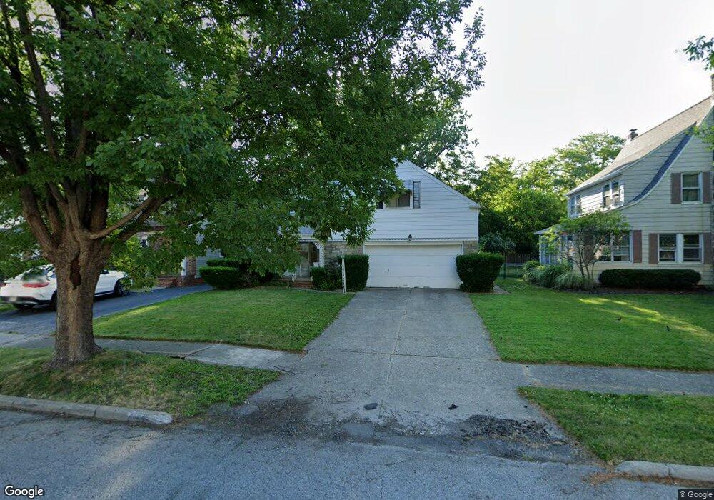
243 E 271st St Euclid, OH 44132
Estimated Value: $168,191 - $190,000
3
Beds
2
Baths
1,662
Sq Ft
$108/Sq Ft
Est. Value
About This Home
This home is located at 243 E 271st St, Euclid, OH 44132 and is currently estimated at $178,798, approximately $107 per square foot. 243 E 271st St is a home located in Cuyahoga County with nearby schools including Shoreview Elementary School, Euclid High School, and Ss Robert & William Catholic School.
Ownership History
Date
Name
Owned For
Owner Type
Purchase Details
Closed on
Apr 2, 1985
Sold by
Sederholm William A and Sederholm Toshie
Bought by
Sederholm William A and Sederholm Toshie
Current Estimated Value
Purchase Details
Closed on
Aug 4, 1975
Sold by
Symans Jeanne M
Bought by
Sederholm William A and Sederholm Toshie
Purchase Details
Closed on
Jan 1, 1975
Bought by
Symans Jeanne M
Create a Home Valuation Report for This Property
The Home Valuation Report is an in-depth analysis detailing your home's value as well as a comparison with similar homes in the area
Home Values in the Area
Average Home Value in this Area
Purchase History
| Date | Buyer | Sale Price | Title Company |
|---|---|---|---|
| Sederholm William A | -- | -- | |
| Sederholm William A | $45,000 | -- | |
| Symans Jeanne M | -- | -- |
Source: Public Records
Tax History
| Year | Tax Paid | Tax Assessment Tax Assessment Total Assessment is a certain percentage of the fair market value that is determined by local assessors to be the total taxable value of land and additions on the property. | Land | Improvement |
|---|---|---|---|---|
| 2024 | $3,554 | $50,750 | $8,435 | $42,315 |
| 2023 | $3,739 | $42,880 | $6,900 | $35,980 |
| 2022 | $3,654 | $42,875 | $6,895 | $35,980 |
| 2021 | $4,084 | $42,880 | $6,900 | $35,980 |
| 2020 | $4,144 | $39,690 | $6,370 | $33,320 |
| 2019 | $3,738 | $113,400 | $18,200 | $95,200 |
| 2018 | $3,788 | $39,690 | $6,370 | $33,320 |
| 2017 | $4,117 | $36,160 | $6,060 | $30,100 |
| 2016 | $4,127 | $36,160 | $6,060 | $30,100 |
| 2015 | $3,758 | $36,160 | $6,060 | $30,100 |
| 2014 | $3,758 | $36,160 | $6,060 | $30,100 |
Source: Public Records
Map
Nearby Homes
- 27175 Cameron Ave
- 25801 Lakeshore Blvd Unit 42
- 325 E 264th St
- 25801 Lake Shore Blvd Unit 29
- 25801 Lake Shore Blvd Unit 25
- 25801 Lake Shore Blvd Unit 112
- 25801 Lake Shore Blvd Unit 85
- 411 E 270th St
- 150 Westbrook Dr
- 440 E 271st St
- 141 Eastbrook Dr
- 625 Lloyd Rd
- 27430 Forestview Ave
- 325 E 257th St
- 28525 Lakeshore Blvd
- 29310 Grand Blvd
- 28642 Forest Rd
- 355 E 257th St
- 27125 Mallard Ave
- 110 E 252nd St
Your Personal Tour Guide
Ask me questions while you tour the home.