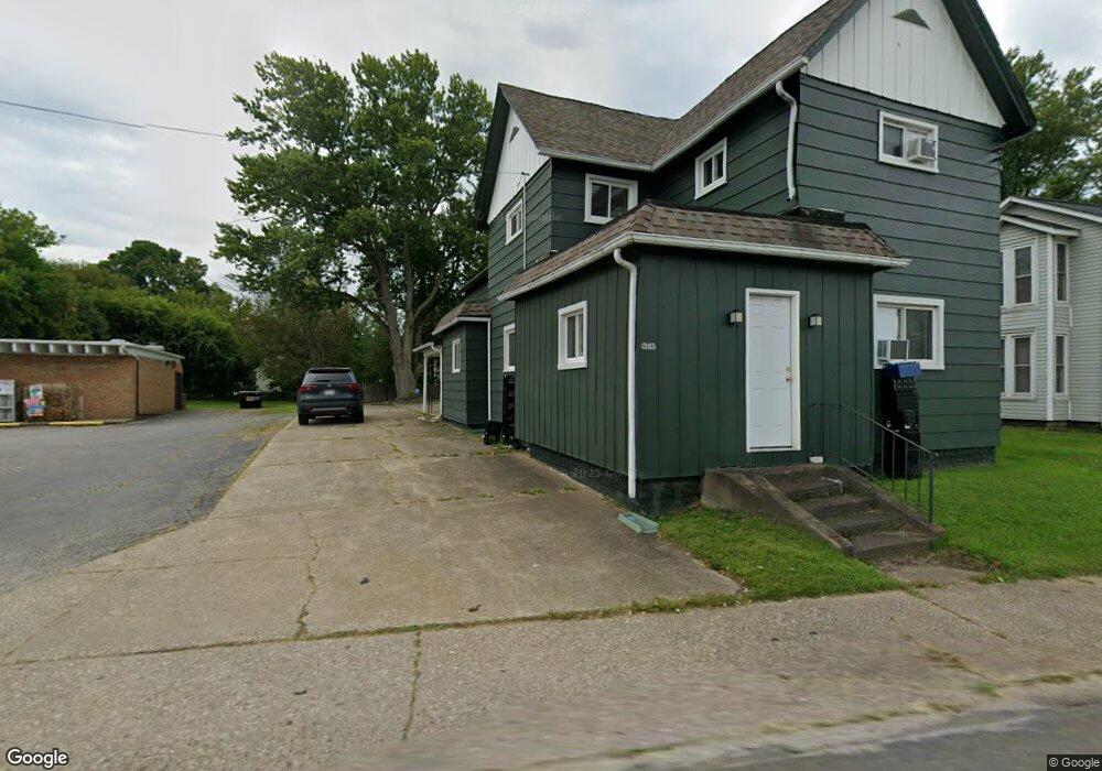
243 E Main Rd Conneaut, OH 44030
Estimated Value: $110,000 - $180,000
4
Beds
2
Baths
1,929
Sq Ft
$72/Sq Ft
Est. Value
About This Home
This home is located at 243 E Main Rd, Conneaut, OH 44030 and is currently estimated at $138,723, approximately $71 per square foot. 243 E Main Rd is a home located in Ashtabula County with nearby schools including Lakeshore Primary Elementary School, Gateway Elementary School, and Conneaut Middle School.
Ownership History
Date
Name
Owned For
Owner Type
Purchase Details
Closed on
Aug 2, 2019
Sold by
Wiley Christopher W and Wiley Jacquelyn A
Bought by
Burden Relief Llc
Current Estimated Value
Home Financials for this Owner
Home Financials are based on the most recent Mortgage that was taken out on this home.
Original Mortgage
$39,980
Outstanding Balance
$37,032
Interest Rate
7.25%
Mortgage Type
Seller Take Back
Estimated Equity
$101,691
Purchase Details
Closed on
Apr 26, 2004
Sold by
Wiley Christopher W
Bought by
Wiley Jacquelyn A
Purchase Details
Closed on
Sep 10, 1996
Sold by
Froelicher Evelyn R
Bought by
Wiley Chris W
Home Financials for this Owner
Home Financials are based on the most recent Mortgage that was taken out on this home.
Original Mortgage
$36,000
Interest Rate
8.27%
Mortgage Type
New Conventional
Create a Home Valuation Report for This Property
The Home Valuation Report is an in-depth analysis detailing your home's value as well as a comparison with similar homes in the area
Home Values in the Area
Average Home Value in this Area
Purchase History
| Date | Buyer | Sale Price | Title Company |
|---|---|---|---|
| Burden Relief Llc | $40,000 | None Available | |
| Wiley Jacquelyn A | -- | -- | |
| Wiley Chris W | $95,000 | -- |
Source: Public Records
Mortgage History
| Date | Status | Borrower | Loan Amount |
|---|---|---|---|
| Open | Burden Relief Llc | $39,980 | |
| Previous Owner | Wiley Chris W | $36,000 |
Source: Public Records
Tax History
| Year | Tax Paid | Tax Assessment Tax Assessment Total Assessment is a certain percentage of the fair market value that is determined by local assessors to be the total taxable value of land and additions on the property. | Land | Improvement |
|---|---|---|---|---|
| 2024 | $2,553 | $34,900 | $4,130 | $30,770 |
| 2023 | $1,652 | $34,900 | $4,130 | $30,770 |
| 2022 | $1,494 | $27,800 | $3,190 | $24,610 |
| 2021 | $1,520 | $27,800 | $3,190 | $24,610 |
| 2020 | $1,519 | $27,800 | $3,190 | $24,610 |
| 2019 | $1,064 | $19,080 | $6,550 | $12,530 |
| 2018 | $1,017 | $19,220 | $6,690 | $12,530 |
| 2017 | $1,041 | $19,220 | $6,690 | $12,530 |
| 2016 | $1,059 | $16,810 | $5,850 | $10,960 |
| 2015 | $1,068 | $16,810 | $5,850 | $10,960 |
| 2014 | $972 | $16,810 | $5,850 | $10,960 |
| 2013 | $1,180 | $22,300 | $5,500 | $16,800 |
Source: Public Records
Map
Nearby Homes
- 404 Viaduct St
- 166 Welton Rd
- 284 Clay St
- 146 Nickle Plate Ave
- 179 Marshall St
- 434 E Main Rd
- 386 Washington St
- 0 Dorman Rd
- 450 Buffalo St
- 475 State St
- 375 Bliss Ave
- 370 E Underridge Rd
- 536 Madison St
- 555 Wrights Ave
- 169 River St
- 18 Hillcrest Ct
- 681 Madison St
- 745 Maple Ave
- 474 Sherman St
- 238 Whitney St
Your Personal Tour Guide
Ask me questions while you tour the home.