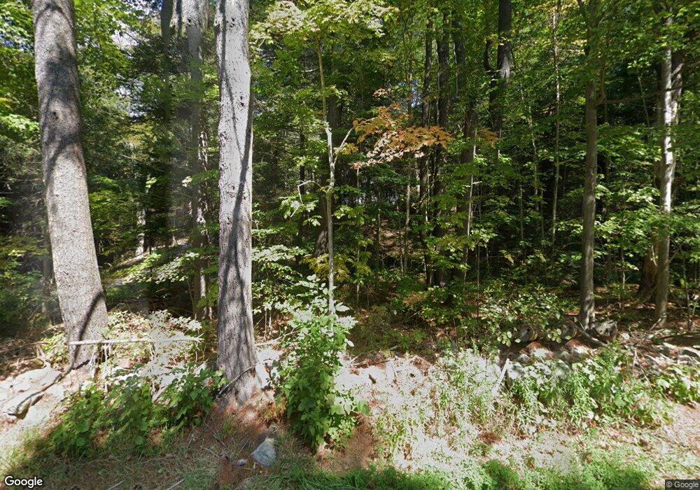
Estimated Value: $362,022 - $456,000
3
Beds
2
Baths
1,707
Sq Ft
$234/Sq Ft
Est. Value
About This Home
This home is located at 243 E Otis Rd, Otis, MA 01253 and is currently estimated at $399,006, approximately $233 per square foot. 243 E Otis Rd is a home located in Berkshire County with nearby schools including Farmington River Elementary School.
Ownership History
Date
Name
Owned For
Owner Type
Purchase Details
Closed on
Mar 30, 2000
Sold by
Josephson William E and Josephson Eleanor
Bought by
June Vicki L
Current Estimated Value
Home Financials for this Owner
Home Financials are based on the most recent Mortgage that was taken out on this home.
Original Mortgage
$116,850
Outstanding Balance
$40,522
Interest Rate
8.4%
Mortgage Type
Purchase Money Mortgage
Estimated Equity
$358,484
Purchase Details
Closed on
Aug 1, 1995
Sold by
Nikituk Laurie C
Bought by
Josephson William E and Josephson Eleanor
Home Financials for this Owner
Home Financials are based on the most recent Mortgage that was taken out on this home.
Original Mortgage
$121,400
Interest Rate
7.56%
Mortgage Type
Purchase Money Mortgage
Create a Home Valuation Report for This Property
The Home Valuation Report is an in-depth analysis detailing your home's value as well as a comparison with similar homes in the area
Home Values in the Area
Average Home Value in this Area
Purchase History
| Date | Buyer | Sale Price | Title Company |
|---|---|---|---|
| June Vicki L | $123,000 | -- | |
| Josephson William E | $120,000 | -- |
Source: Public Records
Mortgage History
| Date | Status | Borrower | Loan Amount |
|---|---|---|---|
| Open | Josephson William E | $30,000 | |
| Open | Josephson William E | $116,850 | |
| Previous Owner | Josephson William E | $121,400 |
Source: Public Records
Tax History
| Year | Tax Paid | Tax Assessment Tax Assessment Total Assessment is a certain percentage of the fair market value that is determined by local assessors to be the total taxable value of land and additions on the property. | Land | Improvement |
|---|---|---|---|---|
| 2025 | $1,506 | $233,200 | $42,100 | $191,100 |
| 2024 | $1,497 | $231,000 | $43,800 | $187,200 |
| 2023 | $1,454 | $219,700 | $32,500 | $187,200 |
| 2022 | $1,506 | $194,300 | $30,700 | $163,600 |
| 2021 | $1,349 | $159,300 | $30,700 | $128,600 |
| 2020 | $1,307 | $156,700 | $30,700 | $126,000 |
| 2019 | $1,297 | $156,700 | $30,700 | $126,000 |
| 2018 | $1,279 | $156,700 | $30,700 | $126,000 |
| 2017 | $1,266 | $156,700 | $30,700 | $126,000 |
| 2016 | $1,240 | $158,000 | $30,700 | $127,300 |
| 2015 | $1,291 | $171,500 | $32,300 | $139,200 |
Source: Public Records
Map
Nearby Homes
- 32 S Main Rd
- 2439 W Center Rd
- 0 Clubhouse Dr
- 314 Lakeshore Dr
- 316 Lakeshore Dr
- 314 & 316 Lakeshore Dr
- 377 Highland Way
- 0 Perry Rd
- 289 Monterey Rd
- 0 Lion Hill Rd
- 15B-7 E Otis Rd
- 40 Bliven Rd
- Lot 19-I W Center Rd
- 0 Leisure Ln
- 0 N Beech Plain Rd Unit 247823
- 129 W Shore Rd
- 95 Sugar House Rd
- 134 Kibbe Rd
- 454 Pine Rd
- 103 Algerie Rd
- 23 Massachusetts 23
- 0 Massachusetts 23
- 195 E Otis Rd
- 248 E Otis Rd
- 272 E Otis Rd
- 301 E Otis Rd
- 52 Rocky Top Rd
- 15 Davison Rd
- 196 E Otis Rd
- 196 E Otis Rd
- 40 Davidson Rd
- 164 E Otis Rd
- 163 E Otis Rd
- 345 E Otis Rd
- 170 E Otis Rd
- 355 E Otis Rd
- 0 Louden Bethlehem Rd Unit 71154300
- 0 Louden Bethlehem Rd Unit 72168509
- 0 Louden Bethlehem Rd Unit 72168506
- 0 Louden Bethlehem Rd Unit 173195
