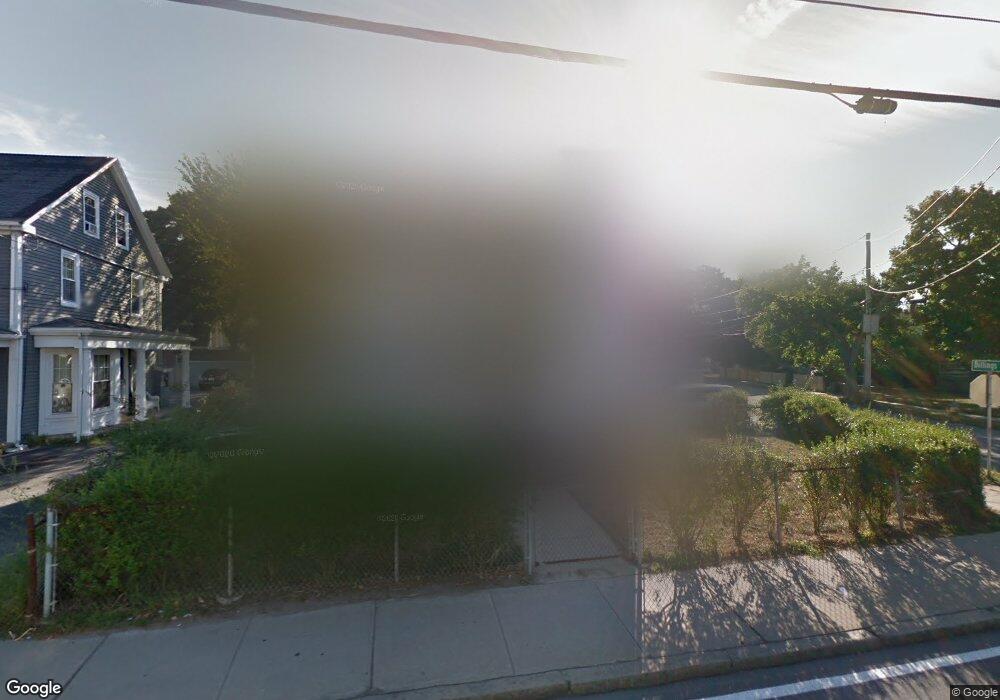
243 E Squantum St Quincy, MA 02171
North Quincy NeighborhoodEstimated Value: $413,000 - $730,479
4
Beds
1
Bath
1,560
Sq Ft
$406/Sq Ft
Est. Value
About This Home
This home is located at 243 E Squantum St, Quincy, MA 02171 and is currently estimated at $633,120, approximately $405 per square foot. 243 E Squantum St is a home located in Norfolk County with nearby schools including Squantum Elementary School, Atlantic Middle School, and North Quincy High School.
Ownership History
Date
Name
Owned For
Owner Type
Purchase Details
Closed on
Jun 27, 2025
Sold by
Wang Olivia G and Gao Danny J
Bought by
Gao Paul Z and Yu Annie
Current Estimated Value
Purchase Details
Closed on
Oct 2, 1997
Sold by
Wong Ing K and Wong Ching Lc
Bought by
Gao Chao R and Gau Ya J
Home Financials for this Owner
Home Financials are based on the most recent Mortgage that was taken out on this home.
Original Mortgage
$50,000
Interest Rate
7.41%
Mortgage Type
Purchase Money Mortgage
Create a Home Valuation Report for This Property
The Home Valuation Report is an in-depth analysis detailing your home's value as well as a comparison with similar homes in the area
Home Values in the Area
Average Home Value in this Area
Purchase History
| Date | Buyer | Sale Price | Title Company |
|---|---|---|---|
| Gao Paul Z | $428,000 | -- | |
| Gao Paul Z | $428,000 | -- | |
| Gao Chao R | $159,000 | -- | |
| Gao Chao R | $159,000 | -- |
Source: Public Records
Mortgage History
| Date | Status | Borrower | Loan Amount |
|---|---|---|---|
| Previous Owner | Gao Chao R | $50,000 | |
| Previous Owner | Gao Chao R | $84,000 |
Source: Public Records
Tax History
| Year | Tax Paid | Tax Assessment Tax Assessment Total Assessment is a certain percentage of the fair market value that is determined by local assessors to be the total taxable value of land and additions on the property. | Land | Improvement |
|---|---|---|---|---|
| 2025 | $7,571 | $656,600 | $354,000 | $302,600 |
| 2024 | $7,332 | $650,600 | $354,000 | $296,600 |
| 2023 | $6,844 | $614,900 | $321,900 | $293,000 |
| 2022 | $6,352 | $530,200 | $257,500 | $272,700 |
| 2021 | $6,316 | $520,300 | $257,500 | $262,800 |
| 2020 | $6,096 | $490,400 | $252,500 | $237,900 |
| 2019 | $5,892 | $469,500 | $242,800 | $226,700 |
| 2018 | $5,884 | $441,100 | $231,200 | $209,900 |
| 2017 | $5,677 | $400,600 | $210,200 | $190,400 |
| 2016 | $5,302 | $369,200 | $191,000 | $178,200 |
| 2015 | $4,925 | $337,300 | $173,700 | $163,600 |
| 2014 | $4,791 | $322,400 | $173,700 | $148,700 |
Source: Public Records
Map
Nearby Homes
- 201 Billings St
- 297 Billings St
- 175 Quincy Shore Dr Unit B24
- 175 Quincy Shore Dr Unit B23
- 85 E Squantum St Unit 10
- 212 Quincy Shore Dr
- 27 Herbert Rd
- 138 Quincy Shore Dr Unit 170
- 90 Quincy Shore Dr Unit 721
- 90 Quincy Shore Dr Unit 501
- 28 Apthorp St
- 133 Commander Shea Blvd Unit 502
- 133 Commander Shea Blvd Unit 709
- 17 Holmes St Unit 204
- 17 Holmes St Unit 2
- 17 Holmes St Unit 1
- 70 Walnut St
- 39 Fayette St Unit 403
- 115 W Squantum St Unit 517
- 115 W Squantum St Unit 811
- 226 Billings St
- 249 E Squantum St Unit 4
- 249 E Squantum St Unit 3
- 249 E Squantum St Unit 1
- 249 E St Unit 4
- 235 E Squantum St
- 214 Billings St
- 214 Billings St Unit 2
- 214 Billings St Unit 3
- 214 Billings St Unit 1
- 21 Wadsworth St
- 253 E Squantum St Unit 2
- 253 E Squantum St Unit 253
- 253 E Squantum St
- 253 E Squantum St Unit 1
- 15 Wadsworth St
- 251 E Squantum St
- 251 E Squantum St Unit 2
- 25 Wadsworth St
- 213 Billings St
Your Personal Tour Guide
Ask me questions while you tour the home.