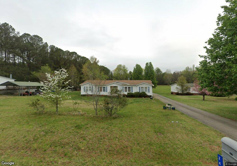
243 Gordon Dr Advance, NC 27006
Estimated Value: $239,000 - $278,944
3
Beds
2
Baths
2,338
Sq Ft
$112/Sq Ft
Est. Value
About This Home
This home is located at 243 Gordon Dr, Advance, NC 27006 and is currently estimated at $262,736, approximately $112 per square foot. 243 Gordon Dr is a home located in Davie County with nearby schools including Pinebrook Elementary School, North Davie Middle School, and Davie County High School.
Ownership History
Date
Name
Owned For
Owner Type
Purchase Details
Closed on
Dec 14, 2010
Sold by
Collier Betty Minor and Williamson Betty Minor
Bought by
Walter Jayne L
Current Estimated Value
Home Financials for this Owner
Home Financials are based on the most recent Mortgage that was taken out on this home.
Original Mortgage
$116,781
Outstanding Balance
$78,556
Interest Rate
4.58%
Mortgage Type
FHA
Estimated Equity
$184,180
Purchase Details
Closed on
Dec 1, 2001
Purchase Details
Closed on
Jan 1, 2000
Purchase Details
Closed on
Jun 1, 1999
Create a Home Valuation Report for This Property
The Home Valuation Report is an in-depth analysis detailing your home's value as well as a comparison with similar homes in the area
Purchase History
| Date | Buyer | Sale Price | Title Company |
|---|---|---|---|
| Walter Jayne L | $120,000 | -- | |
| -- | -- | -- | |
| -- | $21,500 | -- | |
| -- | $80,000 | -- |
Source: Public Records
Mortgage History
| Date | Status | Borrower | Loan Amount |
|---|---|---|---|
| Open | Walter Jayne L | $116,781 |
Source: Public Records
Tax History
| Year | Tax Paid | Tax Assessment Tax Assessment Total Assessment is a certain percentage of the fair market value that is determined by local assessors to be the total taxable value of land and additions on the property. | Land | Improvement |
|---|---|---|---|---|
| 2025 | $1,090 | $158,270 | $36,640 | $121,630 |
| 2024 | $963 | $124,620 | $28,500 | $96,120 |
| 2023 | $963 | $124,620 | $28,500 | $96,120 |
| 2022 | $963 | $124,620 | $28,500 | $96,120 |
| 2021 | $963 | $124,620 | $28,500 | $96,120 |
| 2020 | $847 | $108,880 | $28,500 | $80,380 |
| 2019 | $847 | $108,880 | $28,500 | $80,380 |
| 2018 | $847 | $108,880 | $28,500 | $80,380 |
| 2017 | $836 | $108,880 | $0 | $0 |
| 2016 | $912 | $118,700 | $0 | $0 |
| 2015 | $912 | $118,700 | $0 | $0 |
| 2014 | $783 | $118,700 | $0 | $0 |
| 2013 | -- | $118,700 | $0 | $0 |
Source: Public Records
Map
Nearby Homes
- 182 Woodburn Place
- 147 W Renee Dr
- 195 S Claybon Dr
- 300 Redland Rd
- 290 Redland Rd
- 117 Candle Light Ct
- 169 King Arthur Ln
- 300 Morning Star Dr
- 115 Moravian Ct
- 103 Slope Ln
- 265 Morning Star Dr
- 271 Morning Star Dr
- 118 Lovefeast Dr
- 116 Lovefeast Dr
- 117 Lovefeast Dr
- 114 Lovefeast Dr
- 112 Lovefeast Dr
- 113 Lovefeast Dr
- 292 Morning Star Dr
- 132 Starhaven Ct
- 259 Gordon Dr
- 250 Gordon Dr
- 209 Gordon Dr
- 5 Gordon Dr
- 196 Gordon Dr
- 289 Gordon Dr
- 234 Gordon Dr
- 212 Little John Dr
- 114 Idlewild Rd
- 210 Little John Dr
- 118 Idlewild Rd
- 106 Idlewild Rd
- 107 Alvis Trail
- 122 Idlewild Rd
- 220 Little John Dr
- 192 Little John Dr
- 225 Little John Dr
- 284 Gordon Dr
- 123 Alvis Trail
- 215 Little John Dr
Your Personal Tour Guide
Ask me questions while you tour the home.