243 Hoover Ln Malvern, AR 72104
Estimated Value: $61,466 - $192,000
--
Bed
1
Bath
384
Sq Ft
$333/Sq Ft
Est. Value
About This Home
This home is located at 243 Hoover Ln, Malvern, AR 72104 and is currently estimated at $127,867, approximately $332 per square foot. 243 Hoover Ln is a home located in Hot Spring County with nearby schools including Magnet Cove Elementary School and Magnet Cove High School.
Ownership History
Date
Name
Owned For
Owner Type
Purchase Details
Closed on
Apr 23, 2004
Bought by
Mcdermott Mcdermott C and Mcdermott Mcdermott, J
Current Estimated Value
Purchase Details
Closed on
Jun 7, 2002
Bought by
Morris Brian Mark
Purchase Details
Closed on
Nov 20, 1997
Bought by
Morris Aubrey Wilborn To and Jones Gary C
Purchase Details
Closed on
Jun 9, 1997
Bought by
Morris Joan B To and Morris Aubrey W
Purchase Details
Closed on
Mar 3, 1997
Bought by
Morris Aubrey Wilborn
Create a Home Valuation Report for This Property
The Home Valuation Report is an in-depth analysis detailing your home's value as well as a comparison with similar homes in the area
Home Values in the Area
Average Home Value in this Area
Purchase History
| Date | Buyer | Sale Price | Title Company |
|---|---|---|---|
| Mcdermott Mcdermott C | $9,000 | -- | |
| Morris Brian Mark | -- | -- | |
| Morris Aubrey Wilborn To | $11,000 | -- | |
| Morris Joan B To | -- | -- | |
| Morris Joan To | -- | -- | |
| Morris Aubrey Wilborn | -- | -- | |
| Morris Joan To | -- | -- |
Source: Public Records
Tax History Compared to Growth
Tax History
| Year | Tax Paid | Tax Assessment Tax Assessment Total Assessment is a certain percentage of the fair market value that is determined by local assessors to be the total taxable value of land and additions on the property. | Land | Improvement |
|---|---|---|---|---|
| 2024 | $101 | $1,775 | $1,460 | $315 |
| 2023 | $101 | $1,775 | $1,460 | $315 |
| 2022 | $101 | $1,775 | $1,460 | $315 |
| 2021 | $101 | $1,775 | $1,460 | $315 |
| 2020 | $106 | $1,875 | $1,500 | $375 |
| 2019 | $106 | $1,875 | $1,500 | $375 |
| 2018 | $90 | $1,875 | $1,500 | $375 |
| 2017 | $90 | $2,030 | $1,500 | $530 |
| 2016 | $98 | $2,030 | $1,500 | $530 |
| 2015 | $104 | $2,163 | $1,755 | $408 |
| 2014 | $97 | $2,019 | $1,638 | $381 |
Source: Public Records
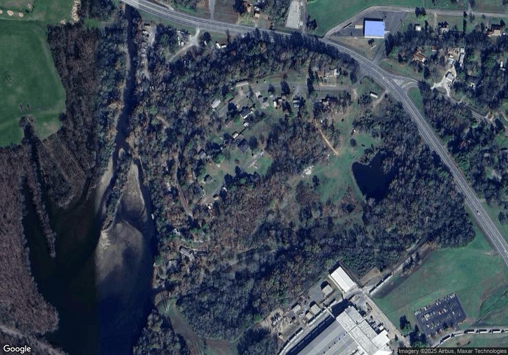
Map
Nearby Homes
- 419 Bayshore Dr
- Lot 39 Fox Run Dr
- Lot 40 Fox Run Dr
- Lot 37 Fox Run Dr
- Lot 46 Fox Run Dr
- Lot 45 Fox Run Dr
- Lot 44 Fox Run Dr
- Lot 38 Fox Run Dr
- 4838 Malvern Rd
- 111 Oyster Bay Overlook
- 112 Fairchild Point
- 109 Medinah Overlook
- 135 Roundwood Dr
- 350 Ross Cutoff
- 206 & 208 Avonshire Terrace
- 208 Avonshire Terrace
- 206 Avonshire Terrace
- 299 Bonnie Brae St
- 243 Hoover Ln
- 240 Hoover Ln
- 246 Bayshore Dr
- 268 Bayshore Dr
- 226 Bayshore Dr
- 334 Bayshore Dr
- 143 Bayshore Dr
- 376 Bayshore Dr
- 275 Bayshore Dr
- 0 Bayshore Dr
- 119 Bayshore Dr
- 103 Bayshore Dr
- 108 James Ln
- 197 Bayshore Dr
- 219 Bayshore Dr
- 358 Bayshore Dr
- 803 Highway 270
- 803 Highway 270
- 803 Highway 270
- 803 Highway 270