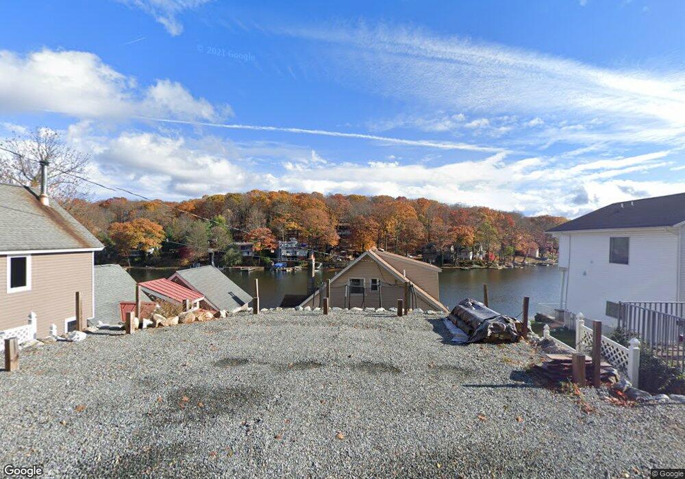
243 Hudson Ave Hopatcong, NJ 07843
Estimated Value: $584,508 - $767,000
--
Bed
--
Bath
2,016
Sq Ft
$327/Sq Ft
Est. Value
About This Home
This home is located at 243 Hudson Ave, Hopatcong, NJ 07843 and is currently estimated at $659,377, approximately $327 per square foot. 243 Hudson Ave is a home located in Sussex County with nearby schools including Hudson Maxim Elementary School, Durban Avenue Elementary School, and Tulsa Trail Elementary School.
Ownership History
Date
Name
Owned For
Owner Type
Purchase Details
Closed on
Feb 24, 2000
Sold by
Fromm Frank and Fromm Anna
Bought by
Meyer Ronald and Meyer Amy
Current Estimated Value
Home Financials for this Owner
Home Financials are based on the most recent Mortgage that was taken out on this home.
Original Mortgage
$148,700
Outstanding Balance
$49,336
Interest Rate
8.21%
Mortgage Type
FHA
Estimated Equity
$610,041
Create a Home Valuation Report for This Property
The Home Valuation Report is an in-depth analysis detailing your home's value as well as a comparison with similar homes in the area
Home Values in the Area
Average Home Value in this Area
Purchase History
| Date | Buyer | Sale Price | Title Company |
|---|---|---|---|
| Meyer Ronald | $130,000 | -- |
Source: Public Records
Mortgage History
| Date | Status | Borrower | Loan Amount |
|---|---|---|---|
| Open | Meyer Ronald | $148,700 |
Source: Public Records
Tax History Compared to Growth
Tax History
| Year | Tax Paid | Tax Assessment Tax Assessment Total Assessment is a certain percentage of the fair market value that is determined by local assessors to be the total taxable value of land and additions on the property. | Land | Improvement |
|---|---|---|---|---|
| 2025 | $12,431 | $596,200 | $220,800 | $375,400 |
| 2024 | $11,393 | $596,200 | $220,800 | $375,400 |
| 2023 | $11,393 | $325,600 | $153,500 | $172,100 |
| 2022 | $11,168 | $325,600 | $153,500 | $172,100 |
| 2021 | $10,979 | $325,600 | $153,500 | $172,100 |
| 2020 | $10,865 | $325,600 | $153,500 | $172,100 |
| 2019 | $10,820 | $325,600 | $153,500 | $172,100 |
| 2018 | $10,797 | $325,600 | $153,500 | $172,100 |
| 2017 | $10,781 | $325,600 | $153,500 | $172,100 |
| 2016 | $10,803 | $325,600 | $153,500 | $172,100 |
| 2015 | $10,559 | $325,600 | $153,500 | $172,100 |
| 2014 | $10,523 | $325,600 | $153,500 | $172,100 |
Source: Public Records
Map
Nearby Homes
- 8 Oneida Ave
- 114 Rollins Trail
- 4 Kansas Way
- 23 Fordham Trail
- 207 Dupont Ave
- 496 River Styx Rd
- 35 Fordham Trail
- 106 Leland Trail
- 12 Adelphi Trail
- 485 River Styx Rd
- 116 Bucknell Trail
- 8 Walton Rd
- 34 Oklahoma Trail
- 38 W River Styx Rd
- 35 Mountain Trail
- 280 Carentan Rd
- 15 Alfred Way
- 46 Oklahoma Trail
- 14 Marshall Trail
- 354 Maxim Dr