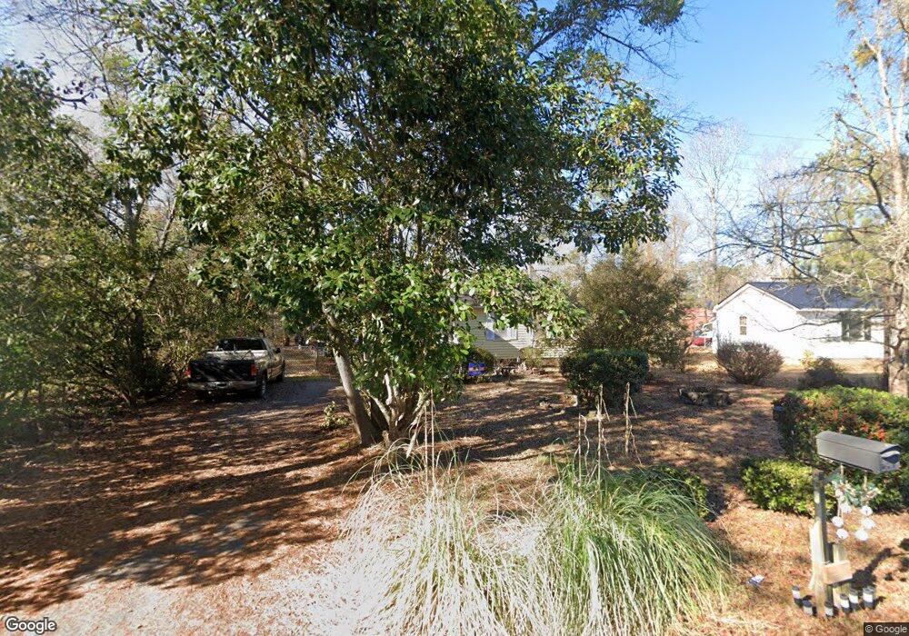
243 Independence Ave Sumter, SC 29153
Estimated Value: $114,000 - $148,000
3
Beds
1
Bath
1,050
Sq Ft
$122/Sq Ft
Est. Value
About This Home
This home is located at 243 Independence Ave, Sumter, SC 29153 and is currently estimated at $127,977, approximately $121 per square foot. 243 Independence Ave is a home located in Sumter County with nearby schools including Pocalla Springs Elementary School, Furman Middle School, and Lakewood High School.
Ownership History
Date
Name
Owned For
Owner Type
Purchase Details
Closed on
Jan 13, 2006
Sold by
Kdw Properties Llc
Bought by
Larkin Patricia
Current Estimated Value
Home Financials for this Owner
Home Financials are based on the most recent Mortgage that was taken out on this home.
Original Mortgage
$8,550
Interest Rate
6.22%
Mortgage Type
Purchase Money Mortgage
Create a Home Valuation Report for This Property
The Home Valuation Report is an in-depth analysis detailing your home's value as well as a comparison with similar homes in the area
Home Values in the Area
Average Home Value in this Area
Purchase History
| Date | Buyer | Sale Price | Title Company |
|---|---|---|---|
| Larkin Patricia | $57,000 | Superior Title Services Llc |
Source: Public Records
Mortgage History
| Date | Status | Borrower | Loan Amount |
|---|---|---|---|
| Closed | Larkin Patricia | $8,550 |
Source: Public Records
Tax History Compared to Growth
Tax History
| Year | Tax Paid | Tax Assessment Tax Assessment Total Assessment is a certain percentage of the fair market value that is determined by local assessors to be the total taxable value of land and additions on the property. | Land | Improvement |
|---|---|---|---|---|
| 2025 | $157 | $2,550 | $360 | $2,190 |
| 2024 | $157 | $2,550 | $360 | $2,190 |
| 2023 | $157 | $2,560 | $360 | $2,200 |
| 2022 | $156 | $2,560 | $360 | $2,200 |
| 2021 | $436 | $2,560 | $360 | $2,200 |
| 2020 | $436 | $2,330 | $360 | $1,970 |
| 2019 | $425 | $2,330 | $360 | $1,970 |
| 2018 | $400 | $2,330 | $360 | $1,970 |
| 2017 | $394 | $2,330 | $360 | $1,970 |
| 2016 | $416 | $2,330 | $360 | $1,970 |
| 2015 | $424 | $2,380 | $360 | $2,020 |
| 2014 | $424 | $2,380 | $360 | $2,020 |
| 2013 | -- | $2,380 | $360 | $2,020 |
Source: Public Records
Map
Nearby Homes
- 1250 Coffey St
- 206 Memorial Ave Unit 147
- 255 Tullah Dr
- 371 Curtis Dr
- 379 Curtis Dr
- 1060 Boulevard Rd
- 1042 Boulevard Rd
- 1130 Gilbert St
- 969 Boulevard Rd
- 392 Brunswick Rd
- 201 Webb Ave
- 1234 Ivey St
- 974 Meadowbrook Rd
- 110 Webb Ave
- 944 Morningside Dr
- 956 Meadowbrook Rd
- 1435 Woods St
- Marley Ct
- 1116 Pocalla Rd
- 827 Taylor St
- 247 Independence Ave
- 239 Independence Ave
- 235 Independence Ave
- 251 Independence Ave
- 240 Independence Ave
- 242 Gibbons St
- 227 Independance Ave
- 246 Independence Ave
- 231 Independence Ave
- 234 Independence Ave
- 246 Gibbons St
- 238 Gibbons St
- 255 Independence Ave
- 222 Gibbons St
- 234 Gibbons St
- 252 Independence Ave
- 230 Gibbons St
- 231 Memorial Ave
- 230 Independence Ave
- 227 Memorial Ave