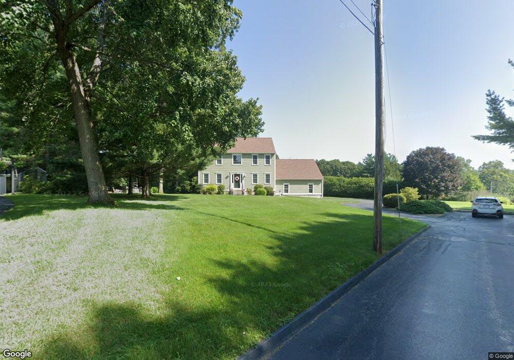
243 Jefferson Ave Northbridge, MA 01534
Estimated Value: $730,508 - $840,000
4
Beds
3
Baths
2,573
Sq Ft
$299/Sq Ft
Est. Value
About This Home
This home is located at 243 Jefferson Ave, Northbridge, MA 01534 and is currently estimated at $770,377, approximately $299 per square foot. 243 Jefferson Ave is a home located in Worcester County with nearby schools including Northbridge Elementary School, Northbridge Middle School, and Northbridge High School.
Ownership History
Date
Name
Owned For
Owner Type
Purchase Details
Closed on
Apr 28, 2000
Sold by
Heritage Park Dev Corp
Bought by
Grady Daniel S
Current Estimated Value
Home Financials for this Owner
Home Financials are based on the most recent Mortgage that was taken out on this home.
Original Mortgage
$90,000
Outstanding Balance
$31,294
Interest Rate
8.23%
Mortgage Type
Purchase Money Mortgage
Estimated Equity
$739,083
Create a Home Valuation Report for This Property
The Home Valuation Report is an in-depth analysis detailing your home's value as well as a comparison with similar homes in the area
Home Values in the Area
Average Home Value in this Area
Purchase History
| Date | Buyer | Sale Price | Title Company |
|---|---|---|---|
| Grady Daniel S | $279,020 | -- | |
| Grady Daniel S | $279,020 | -- |
Source: Public Records
Mortgage History
| Date | Status | Borrower | Loan Amount |
|---|---|---|---|
| Open | Grady Daniel S | $90,000 | |
| Closed | Grady Daniel S | $90,000 |
Source: Public Records
Tax History Compared to Growth
Tax History
| Year | Tax Paid | Tax Assessment Tax Assessment Total Assessment is a certain percentage of the fair market value that is determined by local assessors to be the total taxable value of land and additions on the property. | Land | Improvement |
|---|---|---|---|---|
| 2025 | $7,053 | $598,200 | $182,600 | $415,600 |
| 2024 | $6,847 | $566,300 | $182,600 | $383,700 |
| 2023 | $6,632 | $511,700 | $167,400 | $344,300 |
| 2022 | $6,257 | $454,400 | $128,800 | $325,600 |
| 2021 | $6,118 | $422,200 | $122,500 | $299,700 |
| 2020 | $5,659 | $408,900 | $122,500 | $286,400 |
| 2019 | $5,087 | $392,200 | $122,500 | $269,700 |
| 2018 | $4,840 | $374,000 | $116,600 | $257,400 |
| 2017 | $4,792 | $354,200 | $116,600 | $237,600 |
| 2016 | $4,785 | $348,000 | $106,000 | $242,000 |
| 2015 | $4,656 | $348,000 | $106,000 | $242,000 |
| 2014 | $4,614 | $348,000 | $106,000 | $242,000 |
Source: Public Records
Map
Nearby Homes
- 86 Mikes Way Unit 86
- 84 Mikes Way Unit 84
- 2767 Providence Rd
- 150 Sprague St
- 395 Providence Rd Unit 4
- 19 Milford Rd
- 151 Fowler Rd
- 79-81 Upton St
- 191 Hartness Rd
- 58 Buttercup Ln
- 61 Tulip Cir
- 89 Buttercup Ln Unit 255
- 12 Central Turnpike
- 7 Central Turnpike
- 1076 Hill St
- 42 Shining Rock Dr
- 1880 Providence Rd
- 29 Sampson St Unit 29
- 90 Leland Hill Rd
- 135 Windstone Dr
- 115 Adams Cir
- 115 Adams Cir Unit 115
- 231 Jefferson Ave
- 120 Eisenhower Dr
- 103 Adams Cir
- 123 Adams Cir
- 217 Jefferson Ave
- 314 Roosevelt Dr
- 302 Roosevelt Dr
- 81 Adams Cir
- 320 Roosevelt Dr
- 104 Eisenhower Dr
- LOT 8 Quaker Ridge Estates
- L 1-4 Arthur Dr Louis St
- LOT 7 Eben Chamberlain Rd
- LOT 3 Eben Chamberlain Rd
- LOT 83 Marston Rd
- 210 Jefferson Ave
- 108 Adams Cir
- 340 Roosevelt Dr