243 Mohawk Rd West Enfield, ME 04493
Estimated Value: $176,000 - $211,014
--
Bed
--
Bath
--
Sq Ft
5.1
Acres
About This Home
This home is located at 243 Mohawk Rd, West Enfield, ME 04493 and is currently estimated at $189,504. 243 Mohawk Rd is a home with nearby schools including Enfield Station Elementary School, Hichborn Middle School, and Penobscot Valley High School.
Ownership History
Date
Name
Owned For
Owner Type
Purchase Details
Closed on
Jun 29, 2018
Sold by
Caco William and Putnam Steven
Bought by
Putnam Steven
Current Estimated Value
Home Financials for this Owner
Home Financials are based on the most recent Mortgage that was taken out on this home.
Original Mortgage
$48,800
Outstanding Balance
$42,210
Interest Rate
4.6%
Mortgage Type
New Conventional
Estimated Equity
$147,294
Purchase Details
Closed on
Sep 16, 2016
Sold by
Robinson Juanita Est
Bought by
Caco William and Putnam Steven
Purchase Details
Closed on
Apr 9, 2010
Sold by
Brown Holly
Bought by
Robinson Ernest and Robinson Juanita
Purchase Details
Closed on
Apr 6, 2005
Sold by
Green Tree Svcng Llc
Bought by
Morrill Holly
Home Financials for this Owner
Home Financials are based on the most recent Mortgage that was taken out on this home.
Original Mortgage
$58,650
Interest Rate
5.7%
Mortgage Type
Commercial
Create a Home Valuation Report for This Property
The Home Valuation Report is an in-depth analysis detailing your home's value as well as a comparison with similar homes in the area
Home Values in the Area
Average Home Value in this Area
Purchase History
| Date | Buyer | Sale Price | Title Company |
|---|---|---|---|
| Putnam Steven | -- | -- | |
| Caco William | -- | -- | |
| Robinson Ernest | -- | -- | |
| Morrill Holly | -- | -- |
Source: Public Records
Mortgage History
| Date | Status | Borrower | Loan Amount |
|---|---|---|---|
| Open | Putnam Steven | $48,800 | |
| Previous Owner | Morrill Holly | $58,650 |
Source: Public Records
Tax History Compared to Growth
Tax History
| Year | Tax Paid | Tax Assessment Tax Assessment Total Assessment is a certain percentage of the fair market value that is determined by local assessors to be the total taxable value of land and additions on the property. | Land | Improvement |
|---|---|---|---|---|
| 2025 | $2,222 | $152,700 | $57,500 | $95,200 |
| 2024 | $1,886 | $152,700 | $57,500 | $95,200 |
| 2023 | $1,563 | $95,100 | $29,900 | $65,200 |
| 2022 | $1,402 | $85,300 | $26,000 | $59,300 |
| 2021 | $1,458 | $79,500 | $23,600 | $55,900 |
| 2020 | $1,507 | $79,500 | $23,600 | $55,900 |
| 2019 | $1,507 | $79,500 | $23,600 | $55,900 |
| 2018 | $1,507 | $79,500 | $23,600 | $55,900 |
| 2017 | $1,471 | $79,500 | $23,600 | $55,900 |
| 2016 | $1,403 | $79,500 | $23,600 | $55,900 |
| 2015 | $1,280 | $79,500 | $23,600 | $55,900 |
| 2014 | $1,257 | $78,100 | $22,200 | $55,900 |
Source: Public Records
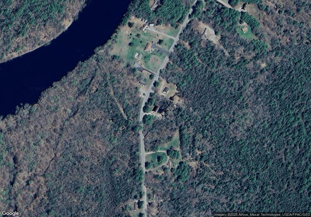
Map
Nearby Homes
- 546 Dodlin Rd
- 1582 Main Rd
- Lot 18-1 Mattamiscontis Rd
- 1482 Mattamiscontis Rd
- P/O M6L2 Fern Ridge Rd
- R08 L028 Gardner Ln
- 194 Seboeis Rd
- Lot 39 Seboeis Rd
- 105 Water St
- 557 Enfield Rd
- 296 Millett Mallett Rd
- 20 Oake Ln
- 35 Pelletier Dr
- 0 Hammett Rd
- 92 Water St
- 132 Old County Rd N
- 44 Penobscot Ave
- 105 River Rd
- 57 Water St
- P/O M29L23 Bluff Rd