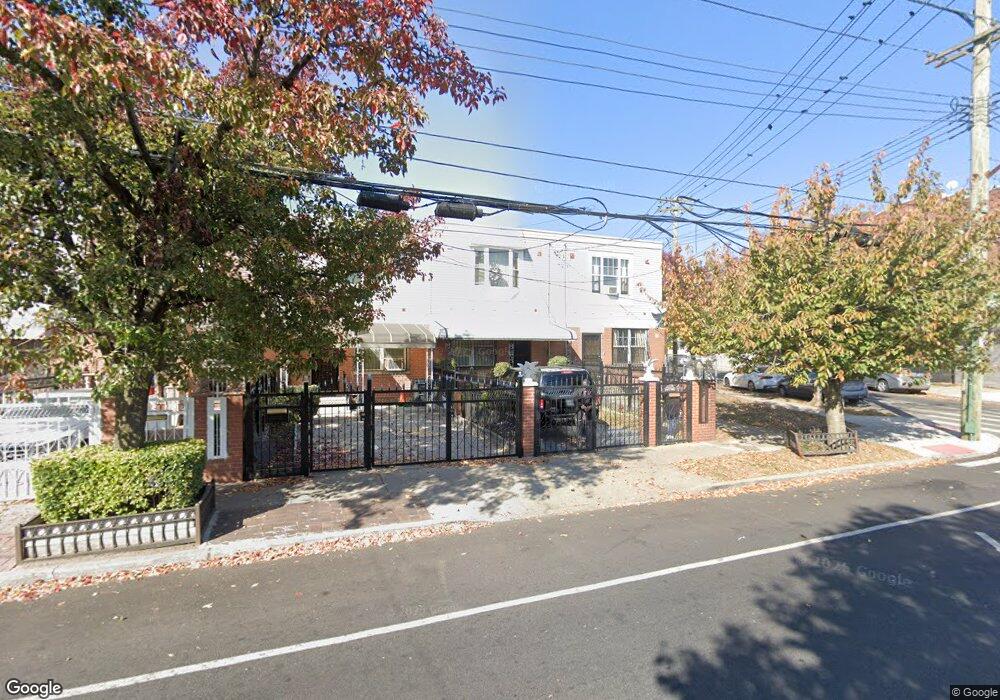
243 New Lots Ave Brooklyn, NY 11207
Brownsville NeighborhoodEstimated Value: $542,239 - $716,000
Studio
--
Bath
1,332
Sq Ft
$482/Sq Ft
Est. Value
About This Home
This home is located at 243 New Lots Ave, Brooklyn, NY 11207 and is currently estimated at $641,560, approximately $481 per square foot. 243 New Lots Ave is a home located in Kings County with nearby schools including P.S. 190 - Sheffield, Achievement First - East New York School, and Hyde Leadership Charter School-Brooklyn.
Ownership History
Date
Name
Owned For
Owner Type
Purchase Details
Closed on
May 15, 2002
Sold by
Nehemiah Housing Develop
Bought by
Deaussou Woilner and Deaussou Therese C
Current Estimated Value
Home Financials for this Owner
Home Financials are based on the most recent Mortgage that was taken out on this home.
Original Mortgage
$77,000
Outstanding Balance
$32,446
Interest Rate
6.9%
Estimated Equity
$609,114
Create a Home Valuation Report for This Property
The Home Valuation Report is an in-depth analysis detailing your home's value as well as a comparison with similar homes in the area
Home Values in the Area
Average Home Value in this Area
Purchase History
| Date | Buyer | Sale Price | Title Company |
|---|---|---|---|
| Deaussou Woilner | -- | -- |
Source: Public Records
Mortgage History
| Date | Status | Borrower | Loan Amount |
|---|---|---|---|
| Open | Deaussou Woilner | $77,000 |
Source: Public Records
Tax History
| Year | Tax Paid | Tax Assessment Tax Assessment Total Assessment is a certain percentage of the fair market value that is determined by local assessors to be the total taxable value of land and additions on the property. | Land | Improvement |
|---|---|---|---|---|
| 2025 | $5,345 | $33,420 | $11,640 | $21,780 |
| 2024 | $5,345 | $36,900 | $11,640 | $25,260 |
| 2023 | $5,404 | $37,140 | $11,640 | $25,500 |
| 2022 | $4,819 | $32,820 | $11,640 | $21,180 |
| 2021 | $4,528 | $27,780 | $11,640 | $16,140 |
| 2019 | $3,524 | $25,020 | $11,640 | $13,380 |
| 2018 | $3,162 | $22,176 | $8,845 | $13,331 |
| 2017 | $2,753 | $21,505 | $8,174 | $13,331 |
| 2016 | $2,190 | $20,288 | $6,957 | $13,331 |
| 2015 | $332 | $19,140 | $5,809 | $13,331 |
| 2014 | $332 | $18,480 | $5,149 | $13,331 |
Source: Public Records
Map
Nearby Homes
- 589 Hinsdale St
- 650 Williams Ave
- 584 Hinsdale St
- 610 Alabama Ave
- 606 Alabama Ave
- 660 Williams Ave
- 582 Williams Ave
- 578 Williams Ave
- 533 Snediker Ave
- 1755 Linden Blvd
- 1753 Linden Blvd
- 1825 Linden Blvd
- 560 Riverdale Ave
- 563 Powell St
- 494 Hegeman Ave
- 90 Louisiana Ave
- 592 Powell St
- 521 Hegeman Ave
- 546 Powell St
- 699 Sackman St
- 241 New Lots Ave
- 245 New Lots Ave
- 239 New Lots Ave
- 237 New Lots Ave
- 616 Williams Ave
- 235 New Lots Ave
- 614 Williams Ave
- 233 New Lots Ave
- 612 Williams Ave
- 231 New Lots Ave
- 610 Williams Ave
- 587 Hinsdale St
- 247 New Lots Ave
- 585 Hinsdale St
- 229 New Lots Ave
- 608 Williams Ave
- 583 Hinsdale St
- 615 Williams Ave
- 581 Hinsdale St
- 606 Williams Ave