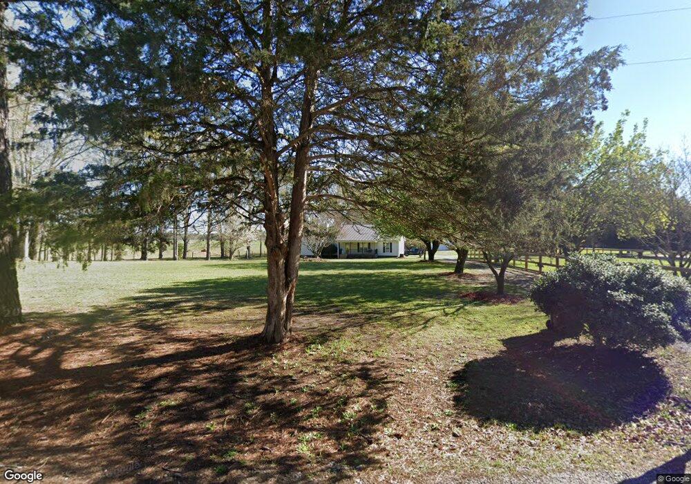
243 Poplar Dr Unit A Brooks, GA 30205
Spalding County NeighborhoodEstimated Value: $329,896 - $339,000
4
Beds
3
Baths
2,034
Sq Ft
$164/Sq Ft
Est. Value
About This Home
This home is located at 243 Poplar Dr Unit A, Brooks, GA 30205 and is currently estimated at $333,724, approximately $164 per square foot. 243 Poplar Dr Unit A is a home located in Spalding County with nearby schools including Moreland Road Elementary School, Carver Road Middle School, and Griffin High School.
Ownership History
Date
Name
Owned For
Owner Type
Purchase Details
Closed on
Sep 30, 2025
Sold by
Hobbs Vance David
Bought by
Poli Christopher James and Poli Bonnie Lee
Current Estimated Value
Home Financials for this Owner
Home Financials are based on the most recent Mortgage that was taken out on this home.
Original Mortgage
$245,000
Outstanding Balance
$245,000
Interest Rate
6.5%
Mortgage Type
Unknown
Estimated Equity
$88,724
Purchase Details
Closed on
Apr 27, 2020
Sold by
Payne Jerry W
Bought by
Hobbs Vance David
Home Financials for this Owner
Home Financials are based on the most recent Mortgage that was taken out on this home.
Original Mortgage
$243,879
Interest Rate
3.49%
Mortgage Type
FHA
Purchase Details
Closed on
Dec 27, 2012
Sold by
Secretary Of Housing And U
Bought by
Payne Jerry W
Home Financials for this Owner
Home Financials are based on the most recent Mortgage that was taken out on this home.
Original Mortgage
$93,615
Interest Rate
3.5%
Mortgage Type
FHA
Purchase Details
Closed on
Jun 5, 2012
Sold by
Suntrust Mtg Inc
Bought by
Secretary Of Housing And Urban and O Michaelson Conn C
Purchase Details
Closed on
Jun 25, 2009
Sold by
Singleton Nancy J
Bought by
Singleton Wendell and Singleton Nancy J
Home Financials for this Owner
Home Financials are based on the most recent Mortgage that was taken out on this home.
Original Mortgage
$142,704
Interest Rate
4.79%
Mortgage Type
FHA
Purchase Details
Closed on
Jul 2, 1991
Sold by
Crook Denver D and Crook Janet L
Bought by
Farr Nancy J
Purchase Details
Closed on
May 26, 1988
Sold by
Allen Jeffrey Warren and Allen Victoria
Bought by
Crook Denver Dean and Crook Janet L
Purchase Details
Closed on
Mar 8, 1988
Sold by
Allen Clyde T
Bought by
Allen Jeffrey Warren and Allen Victoria
Purchase Details
Closed on
May 18, 1966
Bought by
Allen Clyde T
Create a Home Valuation Report for This Property
The Home Valuation Report is an in-depth analysis detailing your home's value as well as a comparison with similar homes in the area
Home Values in the Area
Average Home Value in this Area
Purchase History
| Date | Buyer | Sale Price | Title Company |
|---|---|---|---|
| Poli Christopher James | $335,000 | -- | |
| Hobbs Vance David | $248,400 | -- | |
| Payne Jerry W | $100,000 | -- | |
| Secretary Of Housing And Urban | $147,299 | -- | |
| Suntrust Mtg Inc | $147,299 | -- | |
| Singleton Wendell | -- | -- | |
| Farr Nancy J | $12,000 | -- | |
| Crook Denver Dean | $10,500 | -- | |
| Allen Jeffrey Warren | -- | -- | |
| Allen Clyde T | $2,800 | -- |
Source: Public Records
Mortgage History
| Date | Status | Borrower | Loan Amount |
|---|---|---|---|
| Open | Poli Christopher James | $245,000 | |
| Previous Owner | Hobbs Vance David | $243,879 | |
| Previous Owner | Payne Jerry W | $93,615 | |
| Previous Owner | Singleton Wendell | $142,704 |
Source: Public Records
Tax History Compared to Growth
Tax History
| Year | Tax Paid | Tax Assessment Tax Assessment Total Assessment is a certain percentage of the fair market value that is determined by local assessors to be the total taxable value of land and additions on the property. | Land | Improvement |
|---|---|---|---|---|
| 2024 | $4,014 | $104,505 | $14,456 | $90,049 |
| 2023 | $3,739 | $104,505 | $14,456 | $90,049 |
| 2022 | $3,485 | $95,847 | $11,120 | $84,727 |
| 2021 | $2,960 | $81,412 | $11,120 | $70,292 |
| 2020 | $1,944 | $63,323 | $11,120 | $52,203 |
| 2019 | $2,290 | $63,323 | $11,120 | $52,203 |
| 2018 | $2,179 | $58,847 | $11,120 | $47,727 |
| 2017 | $2,120 | $58,847 | $11,120 | $47,727 |
| 2016 | $2,158 | $58,847 | $11,120 | $47,727 |
| 2015 | $2,224 | $58,847 | $11,120 | $47,727 |
| 2014 | $2,268 | $58,847 | $11,120 | $47,727 |
Source: Public Records
Map
Nearby Homes
- 667 Poplar Dr
- 96 Courtland Rd
- 231 Sandy Ln
- 719 Fairview Rd
- 120 Courtland Rd
- 210 Mockingbird Ln
- 460 Mask Rd
- LOT 8 Mask Road - Hanner's Farm S
- LOT 5 Mask Road - Hanner's Farm S
- LOT 7 Mask Road - Hanner's Farm S
- LOT 6 Mask Road - Hanner's Farm S
- LOT 4 Mask Road - Hanner's Farm S
- LOT 3 Mask Road - Hanner's Farm S
- LOT 5 Mask Road - Hanner's Farm N
- LOT 2 Mask Road - Hanner's Farm S
- LOT 6 Mask Road - Hanner's Farm N
- LOT 4 Mask Road - Hanner's Farm N
- 323 Hollonville Rd
- LOT 3 Mask Road - Hanner's Farm N
- 152 Carson Rd
- 251 Poplar Dr
- 260 Poplar Dr
- 180 Poplar Dr
- 262 Poplar Dr
- 680 Lakeview Dr
- 280 Poplar Dr
- 6780 Newnan Rd
- 0 Highway 16 Unit 7204537
- 0 Highway 16 Unit B 8658419
- 0 Highway 16 Unit B 8498170
- 0 Poplar Dr Unit 3+/- 7570873
- 0 Poplar Dr Unit 7+/- 7621767
- 0 Poplar Dr Unit 7639362
- 50 Clayton Rd
- 344 Poplar Dr
- 265 Poplar Dr
- 160 Clayton Rd
- 624 Lakeview Dr
- 255 Clayton Rd
- 0 Newnan Rd Unit 8356074