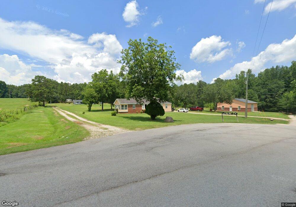
243 Rosie Civers Rd Lagrange, GA 30240
Estimated Value: $189,000 - $225,000
3
Beds
1
Bath
1,016
Sq Ft
$204/Sq Ft
Est. Value
About This Home
This home is located at 243 Rosie Civers Rd, Lagrange, GA 30240 and is currently estimated at $206,940, approximately $203 per square foot. 243 Rosie Civers Rd is a home located in Troup County with nearby schools including Whitesville Road Elementary School, Long Cane Elementary School, and Rosemont Elementary School.
Ownership History
Date
Name
Owned For
Owner Type
Purchase Details
Closed on
Mar 6, 2002
Sold by
Arnetha Civers Alford
Bought by
Alford Jerome
Current Estimated Value
Purchase Details
Closed on
Apr 1, 1985
Sold by
Agnes Pierre
Bought by
Arnetha Civers Alford
Purchase Details
Closed on
Mar 13, 1984
Sold by
Arnetha Alford
Bought by
Agnes Pierre
Create a Home Valuation Report for This Property
The Home Valuation Report is an in-depth analysis detailing your home's value as well as a comparison with similar homes in the area
Home Values in the Area
Average Home Value in this Area
Purchase History
| Date | Buyer | Sale Price | Title Company |
|---|---|---|---|
| Alford Jerome | -- | -- | |
| Arnetha Civers Alford | -- | -- | |
| Agnes Pierre | -- | -- |
Source: Public Records
Tax History Compared to Growth
Tax History
| Year | Tax Paid | Tax Assessment Tax Assessment Total Assessment is a certain percentage of the fair market value that is determined by local assessors to be the total taxable value of land and additions on the property. | Land | Improvement |
|---|---|---|---|---|
| 2024 | -- | $75,880 | $8,080 | $67,800 |
| 2023 | $0 | $69,080 | $8,080 | $61,000 |
| 2022 | $1,833 | $65,680 | $8,080 | $57,600 |
| 2021 | $1,650 | $54,720 | $7,520 | $47,200 |
| 2020 | $1,650 | $54,720 | $7,520 | $47,200 |
| 2019 | $1,314 | $43,560 | $3,600 | $39,960 |
| 2018 | $0 | $40,680 | $3,600 | $37,080 |
| 2017 | $887 | $29,400 | $3,600 | $25,800 |
| 2016 | $0 | $26,532 | $3,600 | $22,932 |
| 2015 | -- | $26,532 | $3,600 | $22,932 |
| 2014 | $455 | $22,835 | $3,600 | $19,235 |
| 2013 | -- | $23,741 | $3,600 | $20,141 |
Source: Public Records
Map
Nearby Homes
- 2067 Bartley Rd
- 311 Tomme Rd
- 1605 Bartley Rd
- 3913 Whitesville Rd
- 1550 Baughs Cross Rd
- 208 Harris Walk Unit 80
- 0 Cannonville Rd
- 660 Bartley Rd
- 620 Old Hutchinson Mill Rd
- 0 Whitesville Rd Unit 10496838
- 0 Whitesville Rd Unit 10578327
- 11.59+/- AC Hunt Rd
- 4172 Bartley Rd
- 648 Warner Rd
- 1820 Salem Rd
- 2222 Whitesville Rd
- 345 Robert Taylor Rd
- 3691 Hamilton Rd
- 2851 & 2891 Hamilton Rd
- 0 Robert Hayes Rd Unit 10611067
- 245 Rosie Civers Rd
- 241 Rosie Civers Rd
- 210 Rosie Civers Rd
- 250 Rosie Civers Rd
- 154 Rosie Civers Rd
- 118 Rosie Civers Rd
- Lot 28 Millwood Plantation
- Lot 28 Lot 28 Millwood Plantation
- 104 Rosie Civers Rd
- 204 Rosie Civers Rd Unit 10
- 204 Rosie Civers Rd
- 41 Rosie Civers Rd
- 74 Rosie Civers Rd
- 2153 Bartley Rd
- 2357 Bartley Rd
- 38 Rosie Civers Rd
- 2109 Bartley Rd
- 2311 Bartley Rd
- 0 Woodyard Rd Unit 3040927
- 2343 Bartley Rd