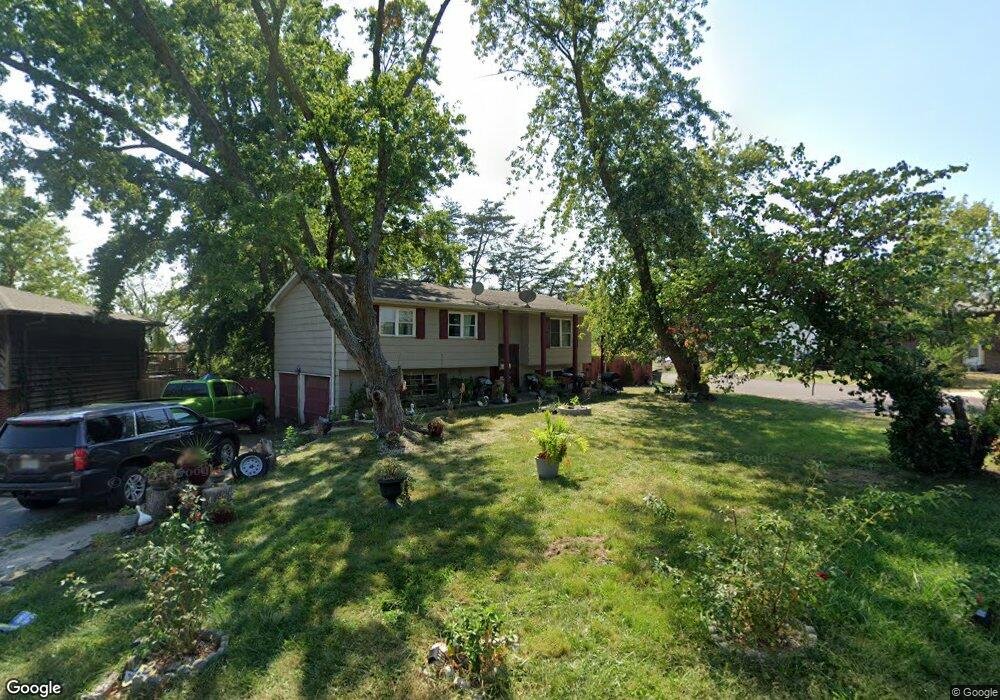
243 Sarazen Dr Columbia, MO 65202
Estimated Value: $136,000 - $215,193
3
Beds
2
Baths
1,476
Sq Ft
$122/Sq Ft
Est. Value
About This Home
This home is located at 243 Sarazen Dr, Columbia, MO 65202 and is currently estimated at $180,064, approximately $121 per square foot. 243 Sarazen Dr is a home located in Boone County with nearby schools including Eliot Battle Elementary School, John B. Lange Middle School, and Muriel W. Battle High School.
Ownership History
Date
Name
Owned For
Owner Type
Purchase Details
Closed on
Mar 28, 2012
Sold by
Tahani Zohreh
Bought by
Abadi Elias
Current Estimated Value
Purchase Details
Closed on
Mar 2, 2010
Sold by
Secretary Of Housing & Urban Development
Bought by
Tahani Zohreh
Purchase Details
Closed on
Jul 8, 2009
Sold by
Countrywide Home Loans Servicing Lp
Bought by
Secretary Of Housing & Urban Development
Purchase Details
Closed on
Apr 9, 2009
Sold by
Dover Paula F
Bought by
Countrywide Home Loans Servicing Lp
Create a Home Valuation Report for This Property
The Home Valuation Report is an in-depth analysis detailing your home's value as well as a comparison with similar homes in the area
Purchase History
| Date | Buyer | Sale Price | Title Company |
|---|---|---|---|
| Abadi Elias | -- | None Available | |
| Tahani Zohreh | -- | None Available | |
| Secretary Of Housing & Urban Development | -- | None Available | |
| Countrywide Home Loans Servicing Lp | $82,120 | None Available |
Source: Public Records
Tax History
| Year | Tax Paid | Tax Assessment Tax Assessment Total Assessment is a certain percentage of the fair market value that is determined by local assessors to be the total taxable value of land and additions on the property. | Land | Improvement |
|---|---|---|---|---|
| 2025 | $1,194 | $16,986 | $2,831 | $14,155 |
| 2024 | $1,228 | $16,986 | $2,831 | $14,155 |
| 2023 | $1,218 | $16,986 | $2,831 | $14,155 |
| 2022 | $1,217 | $16,986 | $2,831 | $14,155 |
| 2021 | $1,219 | $16,986 | $2,831 | $14,155 |
| 2020 | $1,196 | $15,732 | $2,831 | $12,901 |
| 2019 | $1,196 | $15,732 | $2,831 | $12,901 |
| 2018 | $1,204 | $0 | $0 | $0 |
| 2017 | $1,190 | $15,732 | $2,831 | $12,901 |
| 2016 | $1,188 | $15,732 | $2,831 | $12,901 |
| 2015 | $1,097 | $15,732 | $2,831 | $12,901 |
| 2014 | -- | $15,732 | $2,831 | $12,901 |
Source: Public Records
Map
Nearby Homes
- 6007 E Saint Charles Rd
- 1209-1211 Player Place
- 6003 E St Charles Rd
- 1312 N Lake of the Woods Rd
- 1312 N Lake of the Wood
- 223 Sarazen Ct
- 2530 N Lake of the Wood Rd
- 5385 E Trikalla Dr
- 5675 Waterfront Dr S
- 5675 Waterfront Dr N
- 680 N Shiloh Ave
- 5800 Oswago Cir
- 5804 Vero Way
- LOT 7 Tarkio Ct
- LOT 6 Tarkio Ct
- LOT 5 Tarkio Ct
- 601 N Shenandoah Dr
- LOT 1 Tarkio Ct
- LOT 3 Tarkio Ct
- LOT 2 Tarkio Ct
Your Personal Tour Guide
Ask me questions while you tour the home.