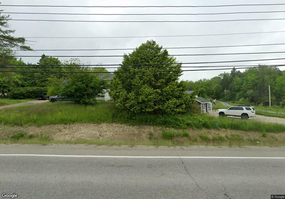
243 Surry Rd Ellsworth, ME 04605
Estimated Value: $333,693 - $424,000
3
Beds
2
Baths
1,825
Sq Ft
$216/Sq Ft
Est. Value
About This Home
This home is located at 243 Surry Rd, Ellsworth, ME 04605 and is currently estimated at $394,173, approximately $215 per square foot. 243 Surry Rd is a home located in Hancock County with nearby schools including Sumner Memorial High School.
Create a Home Valuation Report for This Property
The Home Valuation Report is an in-depth analysis detailing your home's value as well as a comparison with similar homes in the area
Home Values in the Area
Average Home Value in this Area
Tax History Compared to Growth
Tax History
| Year | Tax Paid | Tax Assessment Tax Assessment Total Assessment is a certain percentage of the fair market value that is determined by local assessors to be the total taxable value of land and additions on the property. | Land | Improvement |
|---|---|---|---|---|
| 2024 | $4,188 | $240,000 | $33,960 | $206,040 |
| 2023 | $3,054 | $176,525 | $29,555 | $146,970 |
| 2022 | $2,771 | $176,525 | $29,555 | $146,970 |
| 2021 | $2,576 | $142,900 | $25,700 | $117,200 |
| 2020 | $2,682 | $142,900 | $25,700 | $117,200 |
| 2019 | $2,667 | $141,800 | $25,700 | $116,100 |
| 2018 | $2,586 | $141,800 | $25,700 | $116,100 |
| 2017 | $2,530 | $140,800 | $27,300 | $113,500 |
| 2016 | $2,489 | $140,800 | $27,300 | $113,500 |
| 2015 | $2,492 | $140,800 | $27,300 | $113,500 |
| 2014 | $2,316 | $140,800 | $27,300 | $113,500 |
| 2012 | $2,175 | $140,800 | $25,700 | $115,100 |
Source: Public Records
Map
Nearby Homes
- 200 Surry Rd
- 135 Surry Rd Unit 1 & 2
- 42 Tinker Meadow Way Unit 38
- 44 Tinker Meadow Way Unit 40
- 41 Tinker Meadow Way Unit 17
- 43 Tinker Meadow Way Unit 19
- 052 Pioneer Farm Way
- 14 Westwood Dr
- 456 Water St
- 12 Blue Heron Way Unit 12
- 23 South St
- 00 Beechland Rd
- 58 Washington St
- 12 Windsor Way
- 467 Bayside Rd
- 80 State St
- 221 Bucksport Rd
- 35 Church St
- 318 High St
- 89 & 93 State St