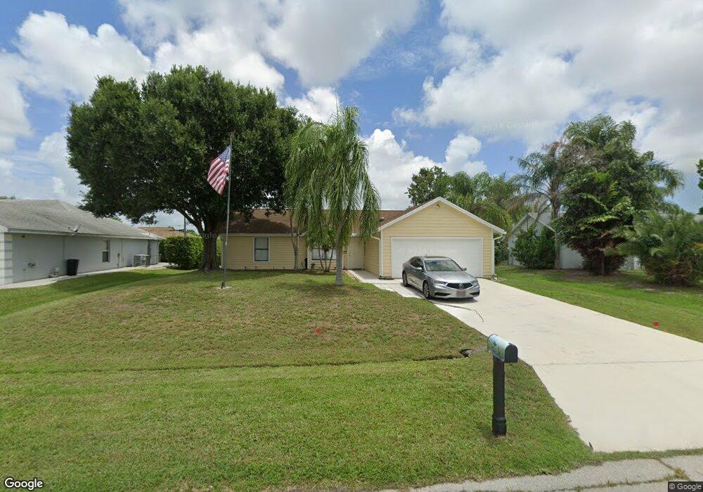
243 SW Aubudon Ave Port Saint Lucie, FL 34984
Canal Pointe NeighborhoodEstimated Value: $314,485 - $364,000
3
Beds
2
Baths
1,323
Sq Ft
$264/Sq Ft
Est. Value
About This Home
This home is located at 243 SW Aubudon Ave, Port Saint Lucie, FL 34984 and is currently estimated at $349,121, approximately $263 per square foot. 243 SW Aubudon Ave is a home located in St. Lucie County with nearby schools including Floresta Elementary School, Morningside Elementary School, and Northport K-8 School.
Ownership History
Date
Name
Owned For
Owner Type
Purchase Details
Closed on
Mar 27, 2003
Sold by
Walsh Ivy May and Pilla Ivy M
Bought by
Buchanan Nathan D and Buchanan Dawn E
Current Estimated Value
Home Financials for this Owner
Home Financials are based on the most recent Mortgage that was taken out on this home.
Original Mortgage
$105,950
Outstanding Balance
$44,540
Interest Rate
5.82%
Estimated Equity
$304,581
Create a Home Valuation Report for This Property
The Home Valuation Report is an in-depth analysis detailing your home's value as well as a comparison with similar homes in the area
Home Values in the Area
Average Home Value in this Area
Purchase History
| Date | Buyer | Sale Price | Title Company |
|---|---|---|---|
| Buchanan Nathan D | $111,600 | -- |
Source: Public Records
Mortgage History
| Date | Status | Borrower | Loan Amount |
|---|---|---|---|
| Open | Buchanan Nathan D | $105,950 |
Source: Public Records
Tax History Compared to Growth
Tax History
| Year | Tax Paid | Tax Assessment Tax Assessment Total Assessment is a certain percentage of the fair market value that is determined by local assessors to be the total taxable value of land and additions on the property. | Land | Improvement |
|---|---|---|---|---|
| 2025 | $4,511 | $163,194 | $90,483 | $72,711 |
| 2024 | $4,360 | $238,600 | $130,000 | $108,600 |
| 2023 | $4,360 | $241,300 | $120,000 | $121,300 |
| 2022 | $3,945 | $211,700 | $105,000 | $106,700 |
| 2021 | $3,424 | $154,200 | $60,000 | $94,200 |
| 2020 | $3,192 | $135,900 | $48,000 | $87,900 |
| 2019 | $3,047 | $131,400 | $40,000 | $91,400 |
| 2018 | $2,730 | $120,600 | $34,000 | $86,600 |
| 2017 | $2,747 | $103,600 | $28,000 | $75,600 |
| 2016 | $2,515 | $85,400 | $21,600 | $63,800 |
| 2015 | $2,276 | $63,300 | $14,000 | $49,300 |
| 2014 | $2,049 | $57,200 | $0 | $0 |
Source: Public Records
Map
Nearby Homes
- 183 SW Airview Ave
- 171 SW Glenwood Dr
- 279 SW Statler Ave
- 131 SW Essex Dr
- 2518 SW Cooper Ln
- 158 SW Port St Lucie Blvd
- 154 SW Port St Lucie Blvd
- 142 SW Port Saint Lucie Blvd
- 13865 SE Blackwood Dr
- 1721 SE Crosswood Way
- 400 SE Mulberry Way
- 745 SE Bloomfield Rd
- 408 SE Mulberry Way
- 2590 SW Hinchman St
- 2477 SW Falcon Cir
- 2621 SW Harem Cir
- 2624 SW Harem Cir
- 2329 SW Fern Cir
- 2465 SW Summit St
- 2613 SW Harem Cir
- 249 SW Audubon Ave
- 237 SW Aubudon Ave
- 249 SW Aubudon Ave
- 244 SW Moselle Ave
- 238 SW Moselle Ave
- 255 SW Audubon
- 231 SW Aubudon Ave
- 255 SW Aubudon Ave
- 250 SW Moselle Ave
- 232 SW Moselle Ave
- 244 SW Aubudon Ave
- 250 SW Aubudon Ave
- 256 SW Moselle Ave
- 261 SW Aubudon Ave
- 225 SW Aubudon Ave
- 226 SW Moselle Ave
- 232 SW Aubudon Ave
- 256 SW Aubudon Ave
- 262 SW Moselle Ave
- 262 SW Aubudon Ave