243 The Dirt Rd Midway, GA 31320
Estimated Value: $71,694 - $248,000
3
Beds
2
Baths
1,250
Sq Ft
$136/Sq Ft
Est. Value
About This Home
This home is located at 243 The Dirt Rd, Midway, GA 31320 and is currently estimated at $169,424, approximately $135 per square foot. 243 The Dirt Rd is a home located in Liberty County with nearby schools including Liberty Elementary School, Midway Middle School, and Liberty County High School.
Ownership History
Date
Name
Owned For
Owner Type
Purchase Details
Closed on
Sep 28, 2020
Sold by
Tabb Kimberly A
Bought by
Casto Everett R and Casto Deborah L
Current Estimated Value
Purchase Details
Closed on
Jan 24, 2013
Sold by
Hirst Frances
Bought by
Tabb Kimberly
Purchase Details
Closed on
Dec 31, 2012
Sold by
Keinath Irene
Bought by
Hirst Frances
Purchase Details
Closed on
Dec 29, 2006
Sold by
Keinath John
Bought by
Hirst Frances
Purchase Details
Closed on
Aug 29, 2001
Sold by
Washington Mutual Bank
Bought by
Keinath John
Purchase Details
Closed on
Mar 14, 2001
Sold by
Quinn Roy T
Bought by
Washington Mutual Bank
Purchase Details
Closed on
May 21, 1999
Sold by
Quinn Shirley J
Bought by
Quinn Roy T
Create a Home Valuation Report for This Property
The Home Valuation Report is an in-depth analysis detailing your home's value as well as a comparison with similar homes in the area
Home Values in the Area
Average Home Value in this Area
Purchase History
| Date | Buyer | Sale Price | Title Company |
|---|---|---|---|
| Casto Everett R | -- | -- | |
| Tabb Kimberly | $35,000 | -- | |
| Hirst Frances | -- | -- | |
| Hirst Frances | -- | -- | |
| Keinath John | $49,500 | -- | |
| Washington Mutual Bank | -- | -- | |
| Quinn Roy T | -- | -- |
Source: Public Records
Tax History Compared to Growth
Tax History
| Year | Tax Paid | Tax Assessment Tax Assessment Total Assessment is a certain percentage of the fair market value that is determined by local assessors to be the total taxable value of land and additions on the property. | Land | Improvement |
|---|---|---|---|---|
| 2024 | $207 | $4,897 | $3,871 | $1,026 |
| 2023 | $189 | $4,899 | $3,871 | $1,028 |
| 2022 | $175 | $4,549 | $3,519 | $1,030 |
| 2021 | $175 | $4,553 | $3,519 | $1,034 |
| 2020 | $175 | $4,555 | $3,519 | $1,036 |
| 2019 | $171 | $4,557 | $3,519 | $1,038 |
| 2018 | $169 | $4,559 | $3,519 | $1,040 |
| 2017 | $150 | $4,565 | $3,519 | $1,046 |
| 2016 | $158 | $4,572 | $3,519 | $1,052 |
| 2015 | -- | $3,920 | $2,868 | $1,052 |
| 2014 | -- | $5,722 | $4,663 | $1,058 |
| 2013 | -- | $0 | $0 | $0 |
Source: Public Records
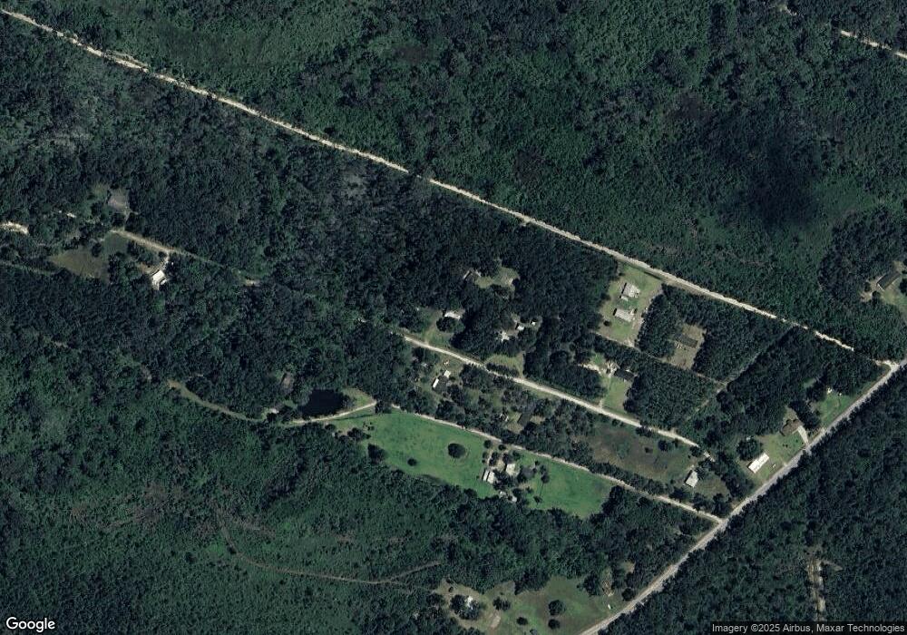
Map
Nearby Homes
- 622 Catbird Rd
- 1258 Fort Morris Rd
- 0 Hager Ln Unit SA339320
- 94 Rookery View Dr
- 4787 Sunbury Rd
- 45 Dutchman's Cove Rd
- 23 Cuddy Ln Unit 22
- 66 Galley Ln Unit 12
- 4305 Islands Hwy
- 195 Beulah Rd
- 2481 Islands Hwy
- 252 River Dr
- 116 Brigdon Rd
- 137 Sunrise Cir
- Lot 34 Azalea Dr
- Lot 42 Japonica Dr
- 0 Jazzmaster Ln Unit 269898
- 216 Anglers Edge Dr
- 304 Sunrise Cir
- 437 Kings Rd
- 176 Herbal Ln
- 201 The Dirt Rd
- 228 The Dirt Rd
- 300 Twin Oaks Ln
- 178 The Dirt Rd
- 136 Twin Oaks Ln
- 115 The Dirt Rd
- 75 Herbal Ln
- 31 Herbal Ln
- 1552 Fort Morris Rd
- 442 The Dirt Rd
- 31 The Dirt Rd
- Lt 13 Fort Morris Rd
- 146 Fort Morris Rd
- 0 Fort Morris Rd
- 1734 Fort Morris Rd
- 485 The Dirt Rd
- 1924 Fort Morris Rd
- 464 Catbird Rd
- 421 Catbird Rd