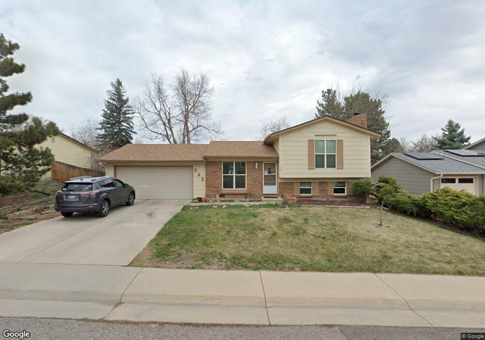
243 Vulcan St Louisville, CO 80027
Estimated Value: $553,000 - $673,000
2
Beds
1
Bath
792
Sq Ft
$773/Sq Ft
Est. Value
About This Home
This home is located at 243 Vulcan St, Louisville, CO 80027 and is currently estimated at $612,203, approximately $772 per square foot. 243 Vulcan St is a home located in Boulder County with nearby schools including Coal Creek Elementary School, Louisville Middle School, and Monarch High School.
Ownership History
Date
Name
Owned For
Owner Type
Purchase Details
Closed on
Jun 5, 2012
Sold by
Bolduc Susan A
Bought by
Susan A Bolduc Trust
Current Estimated Value
Purchase Details
Closed on
Feb 8, 1994
Sold by
Louisville Trade Center Partnership
Bought by
Explosive Fabricators Inc
Purchase Details
Closed on
Dec 7, 1978
Bought by
Bolduc Susan A Trust
Purchase Details
Closed on
Nov 4, 1975
Bought by
Bolduc Susan A Trust
Create a Home Valuation Report for This Property
The Home Valuation Report is an in-depth analysis detailing your home's value as well as a comparison with similar homes in the area
Home Values in the Area
Average Home Value in this Area
Purchase History
| Date | Buyer | Sale Price | Title Company |
|---|---|---|---|
| Susan A Bolduc Trust | -- | None Available | |
| Explosive Fabricators Inc | $58,000 | -- | |
| Bolduc Susan A Trust | $58,800 | -- | |
| Bolduc Susan A Trust | $33,900 | -- |
Source: Public Records
Tax History Compared to Growth
Tax History
| Year | Tax Paid | Tax Assessment Tax Assessment Total Assessment is a certain percentage of the fair market value that is determined by local assessors to be the total taxable value of land and additions on the property. | Land | Improvement |
|---|---|---|---|---|
| 2025 | $3,227 | $37,225 | $26,094 | $11,131 |
| 2024 | $3,227 | $37,225 | $26,094 | $11,131 |
| 2023 | $3,172 | $35,899 | $31,249 | $8,335 |
| 2022 | $3,025 | $31,435 | $24,763 | $6,672 |
| 2021 | $2,995 | $32,339 | $25,475 | $6,864 |
| 2020 | $2,824 | $30,173 | $20,020 | $10,153 |
| 2019 | $2,784 | $30,173 | $20,020 | $10,153 |
| 2018 | $2,361 | $26,424 | $10,368 | $16,056 |
| 2017 | $2,314 | $29,213 | $11,462 | $17,751 |
| 2016 | $2,104 | $23,912 | $12,816 | $11,096 |
| 2015 | $1,994 | $19,940 | $8,040 | $11,900 |
| 2014 | $1,705 | $19,940 | $8,040 | $11,900 |
Source: Public Records
Map
Nearby Homes
- 419 Centennial Dr
- 253 W Cedar Way
- 215 Sunland St
- 142 Pheasant Run
- 152 Pheasant Run
- 1615 Cottonwood Dr Unit 9
- 1612 Cottonwood Dr Unit 11W
- 338 Pheasant Run
- 1608 Cottonwood Dr Unit 11
- 1610 Longs Peak Dr
- 1919 Quail Ct
- 1851 Gallagher Ln
- 357 W Harper St
- 322 W Harper St
- 1856 Kalel Ln
- 1655 Main St
- 2849 Crater Lake Ln
- 1420 N Franklin Ct
- 9224 Baseline Rd
- 1524 Main St
- 269 Vulcan St
- 231 Vulcan St
- 264 Centennial Dr
- 248 Centennial Dr
- 285 Vulcan St
- 282 Centennial Dr
- 248 Vulcan St
- 229 Vulcan St
- 266 Vulcan St
- 234 Vulcan St
- 226 Centennial Dr
- 2255 Garfield Ave
- 282 Vulcan St
- 298 Centennial Dr
- 217 Vulcan St
- 208 Centennial Dr
- 220 Vulcan St
- 212 Vulcan St
- 294 Vulcan St
- 217 Centennial Dr