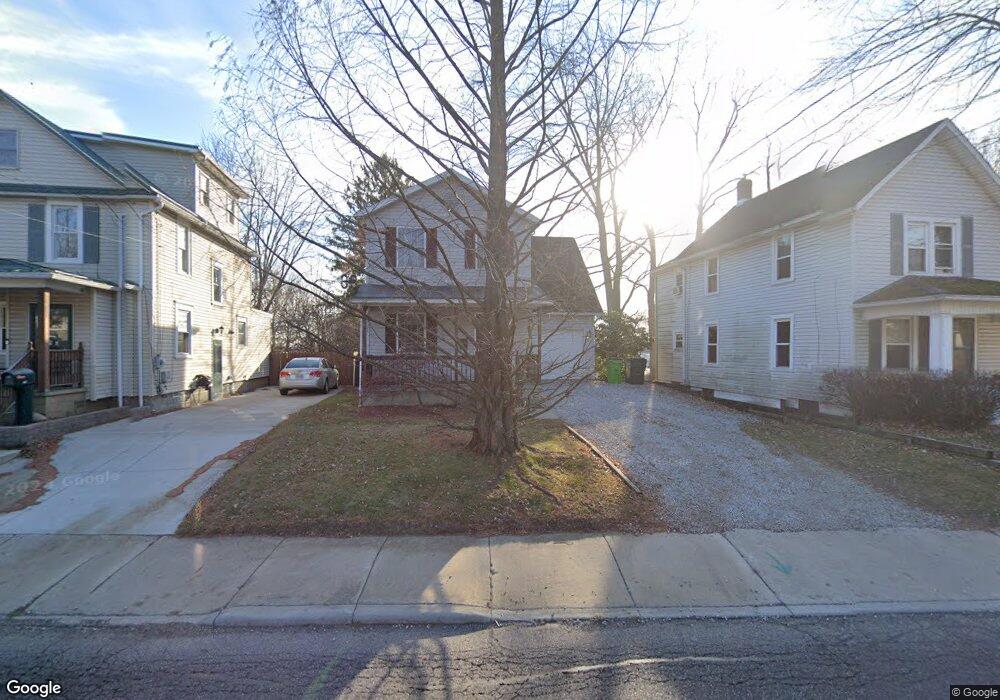
243 W State St Barberton, OH 44203
North Barberton NeighborhoodEstimated Value: $162,343 - $192,000
3
Beds
2
Baths
1,411
Sq Ft
$127/Sq Ft
Est. Value
About This Home
This home is located at 243 W State St, Barberton, OH 44203 and is currently estimated at $178,836, approximately $126 per square foot. 243 W State St is a home located in Summit County with nearby schools including Barberton Middle School, Barberton Intermediate School 3-5, and Barberton High School.
Ownership History
Date
Name
Owned For
Owner Type
Purchase Details
Closed on
May 18, 1998
Sold by
Scheetz Clifford D
Bought by
Forsch Mary L
Current Estimated Value
Home Financials for this Owner
Home Financials are based on the most recent Mortgage that was taken out on this home.
Original Mortgage
$80,750
Outstanding Balance
$15,984
Interest Rate
7.25%
Mortgage Type
New Conventional
Estimated Equity
$162,852
Create a Home Valuation Report for This Property
The Home Valuation Report is an in-depth analysis detailing your home's value as well as a comparison with similar homes in the area
Home Values in the Area
Average Home Value in this Area
Purchase History
| Date | Buyer | Sale Price | Title Company |
|---|---|---|---|
| Forsch Mary L | $95,000 | -- |
Source: Public Records
Mortgage History
| Date | Status | Borrower | Loan Amount |
|---|---|---|---|
| Open | Forsch Mary L | $80,750 |
Source: Public Records
Tax History
| Year | Tax Paid | Tax Assessment Tax Assessment Total Assessment is a certain percentage of the fair market value that is determined by local assessors to be the total taxable value of land and additions on the property. | Land | Improvement |
|---|---|---|---|---|
| 2024 | $2,155 | $52,193 | $9,503 | $42,690 |
| 2023 | $2,155 | $52,193 | $9,503 | $42,690 |
| 2022 | $1,474 | $34,241 | $6,213 | $28,028 |
| 2021 | $1,472 | $34,241 | $6,213 | $28,028 |
| 2020 | $1,441 | $34,240 | $6,210 | $28,030 |
| 2019 | $1,327 | $30,010 | $5,470 | $24,540 |
| 2018 | $1,839 | $30,010 | $5,470 | $24,540 |
| 2017 | $1,863 | $30,010 | $5,470 | $24,540 |
| 2016 | $1,867 | $30,010 | $5,470 | $24,540 |
| 2015 | $1,863 | $30,010 | $5,470 | $24,540 |
| 2014 | $1,853 | $30,010 | $5,470 | $24,540 |
| 2013 | $1,927 | $32,370 | $5,470 | $26,900 |
Source: Public Records
Map
Nearby Homes
- 197 W State St Unit 182
- 0 Romig Ave
- 266 Hazelwood Ave
- 76 Hazelwood Ave
- 52 Norwood St
- 174 Yonker St
- 162 Mitchell St
- 1974 Newton Ave
- 172 & 173 Belcher Ave
- 1315 Kohler Ave
- 1296 Weiser Ave
- 176 Grace Ave
- 1277 Weiser Ave
- 1266 Kohler Ave
- 1288 Nestor Ave
- 491 Taft Ave
- 0 Wooster Rd N
- 1237 Mcintosh Ave
- 217 W Summit St
- 2387 29th St SW Unit 2389
- 239 W State St
- 247 W State St
- 253 W State St
- 171 Oakwood St
- 257 W State St
- 165 Oakwood St
- 170 Hazelwood Ave
- 261 W State St
- 174 Oakwood St
- 161 Oakwood St
- 238 W State St
- 234 W State St
- 170 Oakwood St
- 166 Hazelwood Ave
- 221 W State St
- 221 W State St
- 166 Oakwood St
- 162 Hazelwood Ave
- 157 Oakwood St
- 250 W State St
Your Personal Tour Guide
Ask me questions while you tour the home.