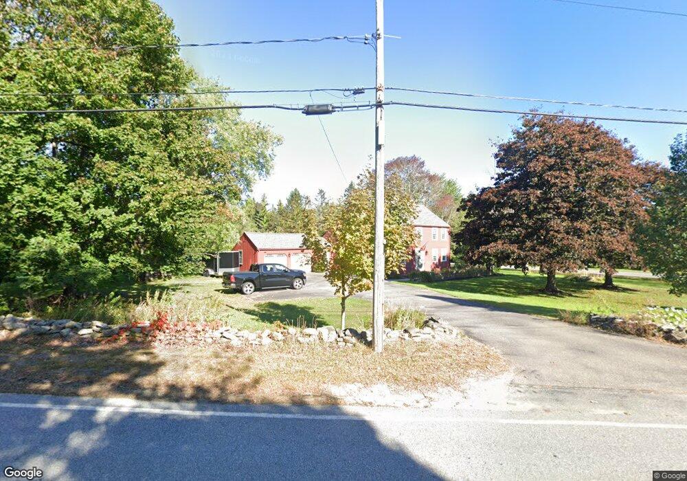
243 Worcester Rd Princeton, MA 01541
Estimated Value: $582,000 - $798,000
4
Beds
3
Baths
2,560
Sq Ft
$258/Sq Ft
Est. Value
About This Home
This home is located at 243 Worcester Rd, Princeton, MA 01541 and is currently estimated at $660,644, approximately $258 per square foot. 243 Worcester Rd is a home located in Worcester County with nearby schools including Wachusett Regional High School.
Ownership History
Date
Name
Owned For
Owner Type
Purchase Details
Closed on
May 13, 2025
Sold by
Fleury Timothy P and Fleury Karen A
Bought by
Fleury Fmaily T and Fleury F
Current Estimated Value
Purchase Details
Closed on
Aug 27, 1999
Sold by
Vasconcelos Fernando M and Vasconcelos Alice
Bought by
Fleury Timothy P and Fleury Karen A
Purchase Details
Closed on
Apr 3, 1987
Sold by
Spellane Karen L
Bought by
Vasconcelos F M
Create a Home Valuation Report for This Property
The Home Valuation Report is an in-depth analysis detailing your home's value as well as a comparison with similar homes in the area
Home Values in the Area
Average Home Value in this Area
Purchase History
| Date | Buyer | Sale Price | Title Company |
|---|---|---|---|
| Fleury Fmaily T | -- | None Available | |
| Fleury Fmaily T | -- | None Available | |
| Fleury Timothy P | $240,000 | -- | |
| Fleury Timothy P | $240,000 | -- | |
| Vasconcelos F M | $235,000 | -- |
Source: Public Records
Mortgage History
| Date | Status | Borrower | Loan Amount |
|---|---|---|---|
| Previous Owner | Vasconcelos F M | $131,400 | |
| Previous Owner | Vasconcelos F M | $141,000 |
Source: Public Records
Tax History
| Year | Tax Paid | Tax Assessment Tax Assessment Total Assessment is a certain percentage of the fair market value that is determined by local assessors to be the total taxable value of land and additions on the property. | Land | Improvement |
|---|---|---|---|---|
| 2025 | $7,133 | $490,900 | $141,600 | $349,300 |
| 2024 | $6,736 | $480,100 | $139,000 | $341,100 |
| 2023 | $6,283 | $415,000 | $110,000 | $305,000 |
| 2022 | $6,043 | $385,400 | $110,000 | $275,400 |
| 2021 | $5,813 | $360,600 | $110,000 | $250,600 |
| 2020 | $5,630 | $355,200 | $110,000 | $245,200 |
| 2019 | $5,591 | $349,000 | $106,500 | $242,500 |
| 2018 | $5,571 | $322,400 | $88,000 | $234,400 |
| 2017 | $5,288 | $297,400 | $135,200 | $162,200 |
| 2016 | $5,294 | $297,400 | $135,200 | $162,200 |
| 2015 | $5,183 | $299,600 | $137,600 | $162,000 |
Source: Public Records
Map
Nearby Homes
- 9 Stagecoach Rd
- 100 Brooks Station Rd
- 376 Elmwood Ave
- 19 Hubbardston Rd
- 20 Mountain Rd
- 147 E County Rd Unit 149
- 139 E County Rd Unit 139
- 13 Goodnow Rd
- 0 North St
- 56 Hubbardston Rd
- 569 E County Rd
- 134 Mountain Rd
- 30 Duxbury Dr
- 129 Quinapoxet St
- 287 Laurel St
- 35 Laurel Hill Ln
- 40 Princeton St
- 197 High St
- 386 Redemption Rock Trail
- 134 Jamieson Rd
- 239 Worcester Rd
- 75 Hickory Dr
- 240 Worcester Rd
- 248 Worcester Rd
- 248 Worcester Rd Unit 2
- 252 Worcester Rd
- 71 Hickory Dr
- 236 Worcester Rd
- 68 Hickory Dr
- 255 Worcester Rd
- 235 Worcester Rd
- 67 Hickory Dr
- 256 Worcester Rd
- 231 Worcester Rd
- 259 Worcester Rd
- 62 Hickory Dr
- 232 Worcester Rd
- 13 Birchwood Rd
- 61 Hickory Dr
- 261 Worcester Rd
Your Personal Tour Guide
Ask me questions while you tour the home.