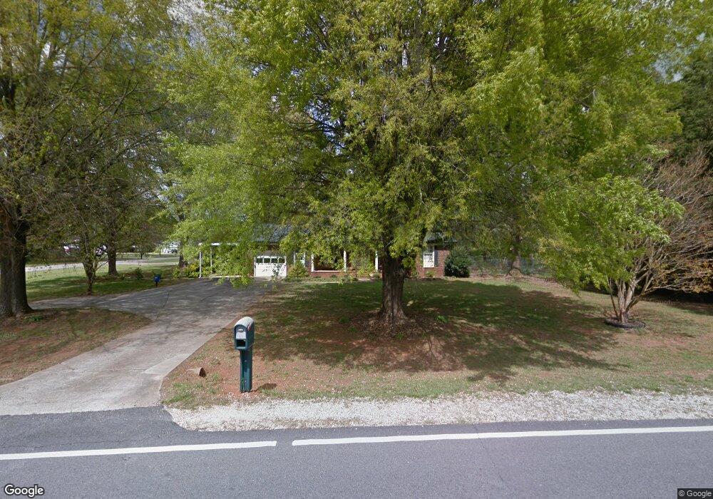
2430 Airport Rd Salisbury, NC 28147
Estimated Value: $258,198 - $283,000
3
Beds
2
Baths
1,373
Sq Ft
$199/Sq Ft
Est. Value
About This Home
This home is located at 2430 Airport Rd, Salisbury, NC 28147 and is currently estimated at $273,300, approximately $199 per square foot. 2430 Airport Rd is a home located in Rowan County with nearby schools including Knollwood Elementary School, Southeast Middle School, and West Rowan High School.
Ownership History
Date
Name
Owned For
Owner Type
Purchase Details
Closed on
Jun 20, 2011
Sold by
Eller Daniel Wayne and Eller Sheila R
Bought by
Mitchem Christopher P and Mitchem Karen M
Current Estimated Value
Home Financials for this Owner
Home Financials are based on the most recent Mortgage that was taken out on this home.
Original Mortgage
$116,580
Interest Rate
4.53%
Mortgage Type
New Conventional
Create a Home Valuation Report for This Property
The Home Valuation Report is an in-depth analysis detailing your home's value as well as a comparison with similar homes in the area
Home Values in the Area
Average Home Value in this Area
Purchase History
| Date | Buyer | Sale Price | Title Company |
|---|---|---|---|
| Mitchem Christopher P | $112,500 | None Available |
Source: Public Records
Mortgage History
| Date | Status | Borrower | Loan Amount |
|---|---|---|---|
| Previous Owner | Mitchem Christopher P | $116,580 |
Source: Public Records
Tax History Compared to Growth
Tax History
| Year | Tax Paid | Tax Assessment Tax Assessment Total Assessment is a certain percentage of the fair market value that is determined by local assessors to be the total taxable value of land and additions on the property. | Land | Improvement |
|---|---|---|---|---|
| 2025 | $1,152 | $169,968 | $30,000 | $139,968 |
| 2024 | $1,152 | $169,968 | $30,000 | $139,968 |
| 2023 | $1,152 | $169,968 | $30,000 | $139,968 |
| 2022 | $867 | $114,836 | $21,500 | $93,336 |
| 2021 | $858 | $114,836 | $21,500 | $93,336 |
| 2020 | $858 | $114,836 | $21,500 | $93,336 |
| 2019 | $858 | $114,836 | $21,500 | $93,336 |
| 2018 | $766 | $103,384 | $21,500 | $81,884 |
| 2017 | $766 | $103,384 | $21,500 | $81,884 |
| 2016 | $766 | $103,384 | $21,500 | $81,884 |
| 2015 | $775 | $103,384 | $21,500 | $81,884 |
| 2014 | $769 | $107,609 | $21,500 | $86,109 |
Source: Public Records
Map
Nearby Homes
- 1380 Julius Dr
- 2885 Wright Ave
- 2100 Airport Rd
- 290 Roger Dr
- 294 Village Creek Way
- 325 Bonaventure Dr
- 132 Stoneybrook Rd
- 4710 Mooresville Rd
- 280 Bonaventure Dr
- 4712 Mooresville Rd
- 215 Autumn Chapel Dr
- 240 Partridge Run
- 201 Bayberry Dr
- 1297 Rachel Ln
- 1277 Rachel Ln
- 335 Neel Rd
- 155 Putney Ct
- 325 Bob White Run
- 1084 Rachel Ln
- 1066 Rachel Ln
- 125 Winding Way
- 2510 Airport Rd
- 2405 Airport Rd
- 2403 Airport Rd
- 145 Winding Way
- 310 E Chamblee Dr
- 220 Lane St
- 2540 Airport Rd
- 2545 Airport Rd
- 2401 Airport Rd
- 320 E Chamblee Dr
- 165 Winding Way
- 2410 Airport Rd
- 330 E Chamblee Dr
- 180 Lane St
- 2307 Airport Rd
- 210 Winding Way
- 109 Miller Chapel Rd
- 2605 Jonathan St
- 107 Miller Chapel Rd