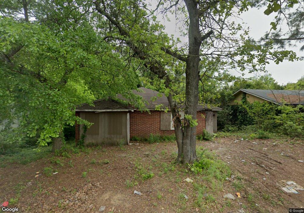
2430 Lowe St Macon, GA 31206
Estimated Value: $46,000 - $116,000
3
Beds
1
Bath
1,311
Sq Ft
$56/Sq Ft
Est. Value
About This Home
This home is located at 2430 Lowe St, Macon, GA 31206 and is currently estimated at $72,902, approximately $55 per square foot. 2430 Lowe St is a home located in Bibb County with nearby schools including Hartley Elementary School, Southwest High School, and Cirrus Charter Academy.
Ownership History
Date
Name
Owned For
Owner Type
Purchase Details
Closed on
Oct 17, 2023
Sold by
Lambros Michael G
Bought by
Roy Property Llc
Current Estimated Value
Purchase Details
Closed on
Jan 8, 2021
Sold by
Hartwig George H
Bought by
Roy Property Llc
Purchase Details
Closed on
Dec 29, 2020
Sold by
Wilkerson John B and Receiver For Roy Property Llc
Bought by
Gonzalez Wilfredo
Purchase Details
Closed on
Jul 24, 2018
Sold by
Beeves Cynthia Lee
Bought by
Roy Property Llc
Purchase Details
Closed on
Oct 27, 2008
Sold by
Grant Albert Lee
Bought by
Reeves Cynthia Lee
Create a Home Valuation Report for This Property
The Home Valuation Report is an in-depth analysis detailing your home's value as well as a comparison with similar homes in the area
Purchase History
| Date | Buyer | Sale Price | Title Company |
|---|---|---|---|
| Roy Property Llc | -- | None Listed On Document | |
| Roy Property Llc | -- | None Listed On Document | |
| Gonzalez Wilfredo | $14,850 | None Available | |
| Roy Property Llc | $1,500 | None Available | |
| Reeves Cynthia Lee | -- | None Available |
Source: Public Records
Tax History
| Year | Tax Paid | Tax Assessment Tax Assessment Total Assessment is a certain percentage of the fair market value that is determined by local assessors to be the total taxable value of land and additions on the property. | Land | Improvement |
|---|---|---|---|---|
| 2025 | $231 | $9,398 | $2,100 | $7,298 |
| 2024 | $239 | $9,398 | $2,100 | $7,298 |
| 2023 | $278 | $9,398 | $2,100 | $7,298 |
| 2022 | $201 | $5,805 | $3,727 | $2,078 |
| 2021 | $221 | $5,805 | $3,727 | $2,078 |
| 2020 | $225 | $5,805 | $3,727 | $2,078 |
| 2019 | $227 | $5,805 | $3,727 | $2,078 |
| 2018 | $603 | $10,066 | $3,727 | $6,339 |
| 2017 | $377 | $10,066 | $3,727 | $6,339 |
| 2016 | $702 | $20,278 | $3,727 | $16,551 |
| 2015 | $993 | $20,278 | $3,727 | $16,551 |
| 2014 | $1,142 | $20,278 | $3,727 | $16,551 |
Source: Public Records
Map
Nearby Homes
- 1323 Crawford St
- 1545 Anthony Rd
- 2445 Adams Ave
- 2420 Adams Ave
- 2125 Cedar Ave
- 1144 Carroll St
- 2106 Mason St
- 1121 Carroll St
- 210 Moseley Ave
- 2164 Monroe Ave
- 670 Poppy Ave
- 742 Grayson Ave
- 815 Edwards Ave
- 730 Grayson Ave
- 660 Lilly Ave
- 2509 Kent Dr
- 800 Patton Ave
- 1062 Rose St
- 576 Pansy Ave
- 1066 Jessamine St
Your Personal Tour Guide
Ask me questions while you tour the home.