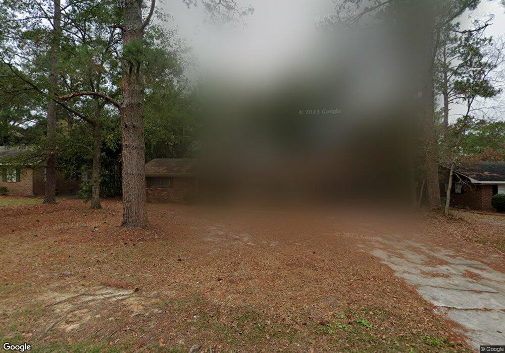
2430 Michael Dr Tifton, GA 31793
Estimated Value: $189,628 - $228,000
3
Beds
2
Baths
1,495
Sq Ft
$141/Sq Ft
Est. Value
About This Home
This home is located at 2430 Michael Dr, Tifton, GA 31793 and is currently estimated at $211,407, approximately $141 per square foot. 2430 Michael Dr is a home located in Tift County with nearby schools including Len Lastinger Primary School, Matt Wilson Elementary School, and J.T. Reddick School.
Ownership History
Date
Name
Owned For
Owner Type
Purchase Details
Closed on
Oct 29, 2002
Sold by
Smith Teresa Hand
Bought by
Smith Teresa Hand and James Thomas I
Current Estimated Value
Purchase Details
Closed on
Dec 30, 1995
Sold by
Milton Underwood Living Trust
Bought by
Smith Teresa Hand
Purchase Details
Closed on
Dec 30, 1993
Sold by
Martin Gregory D and Edna Jane
Bought by
Underwoodmilton E Living Trust
Purchase Details
Closed on
Nov 5, 1986
Sold by
Beasley John Palmer and Kathryn Fulmer
Bought by
Martin Gregory D and Edna Jane
Create a Home Valuation Report for This Property
The Home Valuation Report is an in-depth analysis detailing your home's value as well as a comparison with similar homes in the area
Home Values in the Area
Average Home Value in this Area
Purchase History
| Date | Buyer | Sale Price | Title Company |
|---|---|---|---|
| Smith Teresa Hand | -- | -- | |
| Smith Teresa Hand | -- | -- | |
| Underwoodmilton E Living Trust | $67,500 | -- | |
| Martin Gregory D | $54,500 | -- |
Source: Public Records
Tax History Compared to Growth
Tax History
| Year | Tax Paid | Tax Assessment Tax Assessment Total Assessment is a certain percentage of the fair market value that is determined by local assessors to be the total taxable value of land and additions on the property. | Land | Improvement |
|---|---|---|---|---|
| 2024 | $841 | $38,556 | $8,000 | $30,556 |
| 2023 | $914 | $36,788 | $4,000 | $32,788 |
| 2022 | $1,092 | $36,788 | $4,000 | $32,788 |
| 2021 | $1,098 | $36,788 | $4,000 | $32,788 |
| 2020 | $1,119 | $36,788 | $4,000 | $32,788 |
| 2019 | $1,117 | $36,788 | $4,000 | $32,788 |
| 2018 | $1,115 | $36,788 | $4,000 | $32,788 |
| 2017 | $1,121 | $36,788 | $4,000 | $32,788 |
| 2016 | $1,122 | $36,788 | $4,000 | $32,788 |
| 2015 | $1,122 | $36,788 | $4,000 | $32,788 |
| 2014 | $1,124 | $36,788 | $4,000 | $32,788 |
| 2013 | -- | $36,788 | $4,000 | $32,788 |
Source: Public Records
Map
Nearby Homes
- 106 Mill Ridge Cir
- 131 Oak Point Ave
- 1610 Mallard Ln
- 1607 Mallard Ln
- Tract 1 Whiddon Mill Rd
- 1901 Melba Dr
- W Hutchinson Rd
- 523 Alabama Dr Unit 15 & PT 16
- 523 Alabama Dr
- 100 Elizabeth Dr
- 307 Fulwood Blvd
- 0 N U S Hwy 41
- 0 W Hutchinson Rd
- 0 US Highway 41 Unit 137727
- 225 Alabama Dr
- 222 Alabama Dr
- 2008 Rutland Rd Unit 10
- 2008 Rutland Rd
- 1808 Rutland Rd
- 2609 Emmett Dr
- 2432 Michael Dr
- 2428 Michael Dr
- 2810 Leanne Dr
- 2810 Leanne Dr Unit 26
- 2806 Leanne Dr
- 2434 Michael Dr
- 2426 Michael Dr
- 2429 Michael Dr
- 2425 Michael Dr
- 2814 Leanne Dr
- 2433 Michael Dr
- 2422 Michael Dr
- 2818 Leanne Dr
- 2423 Michael Dr
- 2807 Teresa Dr
- 2815 Leanne Dr
- 2800 Teresa Dr
- 2428 Madison Dr
- 2430 Madison Dr
- 2441 Michael Dr