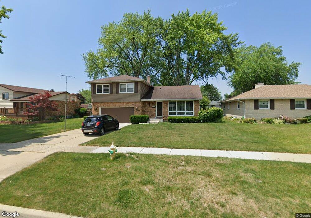
2430 N Butrick St Waukegan, IL 60087
Marquette Highlands NeighborhoodEstimated Value: $285,000 - $317,000
3
Beds
2
Baths
1,885
Sq Ft
$158/Sq Ft
Est. Value
About This Home
This home is located at 2430 N Butrick St, Waukegan, IL 60087 and is currently estimated at $298,226, approximately $158 per square foot. 2430 N Butrick St is a home located in Lake County with nearby schools including Little Fort Elementary School, Jack Benny Middle School, and Waukegan High School.
Ownership History
Date
Name
Owned For
Owner Type
Purchase Details
Closed on
Aug 19, 1996
Sold by
Hinger Carol A and Hinger Smith Carol A
Bought by
Bell Marshall and Bell Patricia A
Current Estimated Value
Home Financials for this Owner
Home Financials are based on the most recent Mortgage that was taken out on this home.
Original Mortgage
$141,360
Outstanding Balance
$11,433
Interest Rate
8.47%
Mortgage Type
FHA
Estimated Equity
$286,793
Create a Home Valuation Report for This Property
The Home Valuation Report is an in-depth analysis detailing your home's value as well as a comparison with similar homes in the area
Home Values in the Area
Average Home Value in this Area
Purchase History
| Date | Buyer | Sale Price | Title Company |
|---|---|---|---|
| Bell Marshall | $144,000 | Ticor Title Insurance Compan |
Source: Public Records
Mortgage History
| Date | Status | Borrower | Loan Amount |
|---|---|---|---|
| Open | Bell Marshall | $141,360 |
Source: Public Records
Tax History Compared to Growth
Tax History
| Year | Tax Paid | Tax Assessment Tax Assessment Total Assessment is a certain percentage of the fair market value that is determined by local assessors to be the total taxable value of land and additions on the property. | Land | Improvement |
|---|---|---|---|---|
| 2024 | $6,120 | $82,905 | $13,103 | $69,802 |
| 2023 | $6,070 | $72,900 | $11,522 | $61,378 |
| 2022 | $6,070 | $68,092 | $10,925 | $57,167 |
| 2021 | $6,080 | $64,315 | $10,264 | $54,051 |
| 2020 | $6,112 | $59,917 | $9,562 | $50,355 |
| 2019 | $6,098 | $54,904 | $8,762 | $46,142 |
| 2018 | $5,294 | $47,329 | $10,334 | $36,995 |
| 2017 | $5,103 | $41,873 | $9,143 | $32,730 |
| 2016 | $4,696 | $36,386 | $7,945 | $28,441 |
| 2015 | $4,488 | $32,566 | $7,111 | $25,455 |
| 2014 | $4,021 | $29,309 | $7,279 | $22,030 |
| 2012 | $5,204 | $31,752 | $7,886 | $23,866 |
Source: Public Records
Map
Nearby Homes
- 2350 N Lewis Ave
- 2613 N Lewis Ave
- 1636 Rice St
- 1905 Linden Ave
- 1015 Merton Ave
- 2345 N Mcaree Rd
- 0 Traditions Dr
- 843 W Johns Manville Place
- 2705 Dana Ave
- 1018 W Atlantic Ave
- 2708 Dana Ave
- 2924 W Bonnie Brook Ln
- 2713 Varonen Ave
- 2440 W Cheyenne Rd
- 2207 Williamsburg Dr
- 616 W Keith Ave
- 2246 Alta Vista Dr
- 37905 N Loyola Ave
- 2213 Alta Vista Dr
- 2009 Harding Ave
- 2432 N Butrick St
- 2436 N Butrick St
- 2412 N Butrick St
- 2425 Yeoman St
- 2431 Yeoman St
- 2419 Yeoman St
- 2433 Yeoman St
- 2411 Yeoman St
- 2440 N Butrick St
- 2410 N Butrick St
- 1410 Montesano Ave
- 2437 Yeoman St
- 2437 N Butrick St
- 1412 Montesano Ave
- 1401 Wilson Ave
- 2403 Yeoman St
- 1419 Wilson Ave
- 2441 N Butrick St
- 2426 Yeoman St
- 2432 Yeoman St