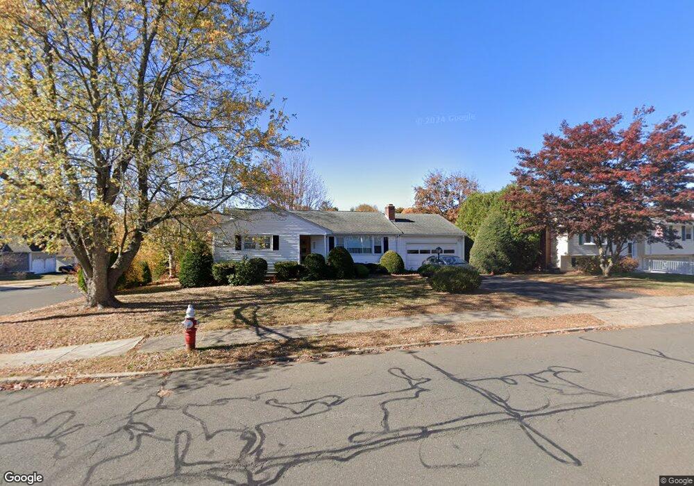
2430 Stanley St New Britain, CT 06053
Estimated Value: $277,000 - $329,000
1
Bed
1
Bath
1,168
Sq Ft
$250/Sq Ft
Est. Value
About This Home
This home is located at 2430 Stanley St, New Britain, CT 06053 and is currently estimated at $292,251, approximately $250 per square foot. 2430 Stanley St is a home located in Hartford County with nearby schools including Holmes School, Pulaski Middle School, and St. Francis of Assisi Middle School.
Ownership History
Date
Name
Owned For
Owner Type
Purchase Details
Closed on
Jul 5, 2000
Sold by
White Karen
Bought by
Bowe Elenore A and Bowe Robert W
Current Estimated Value
Home Financials for this Owner
Home Financials are based on the most recent Mortgage that was taken out on this home.
Original Mortgage
$75,000
Outstanding Balance
$27,445
Interest Rate
8.55%
Estimated Equity
$264,806
Create a Home Valuation Report for This Property
The Home Valuation Report is an in-depth analysis detailing your home's value as well as a comparison with similar homes in the area
Home Values in the Area
Average Home Value in this Area
Purchase History
| Date | Buyer | Sale Price | Title Company |
|---|---|---|---|
| Bowe Elenore A | $100,000 | -- |
Source: Public Records
Mortgage History
| Date | Status | Borrower | Loan Amount |
|---|---|---|---|
| Closed | Bowe Elenore A | $50,000 | |
| Open | Bowe Elenore A | $75,000 |
Source: Public Records
Tax History Compared to Growth
Tax History
| Year | Tax Paid | Tax Assessment Tax Assessment Total Assessment is a certain percentage of the fair market value that is determined by local assessors to be the total taxable value of land and additions on the property. | Land | Improvement |
|---|---|---|---|---|
| 2025 | $6,036 | $154,070 | $63,630 | $90,440 |
| 2024 | $6,100 | $154,070 | $63,630 | $90,440 |
| 2023 | $5,898 | $154,070 | $63,630 | $90,440 |
| 2022 | $4,910 | $99,190 | $29,330 | $69,860 |
| 2021 | $4,910 | $99,190 | $29,330 | $69,860 |
| 2020 | $5,009 | $99,190 | $29,330 | $69,860 |
| 2019 | $5,009 | $99,190 | $29,330 | $69,860 |
| 2018 | $5,009 | $99,190 | $29,330 | $69,860 |
| 2017 | $4,921 | $97,440 | $26,740 | $70,700 |
| 2016 | $4,921 | $97,440 | $26,740 | $70,700 |
| 2015 | $4,775 | $97,440 | $26,740 | $70,700 |
| 2014 | $4,775 | $97,440 | $26,740 | $70,700 |
Source: Public Records
Map
Nearby Homes
- 180 Brittany Farms Rd Unit D
- 198 Brittany Farms Rd Unit D
- 40 Varmor Dr
- 123 Brittany Farms Rd Unit B
- 123 Brittany Farms Rd Unit C
- 2337 Stanley St
- 200 Belridge Rd
- 182 Batterson Park Rd
- 180 Batterson Park Rd
- 46 Robin Rd
- 10 Garden Gate
- 187 Miriam Rd
- 140 Lewis Rd
- 801 Farmington Ave
- 93 South Rd
- 236 Sterling Dr Unit 236
- 239 Sterling Dr Unit 239
- 34 Hutchinson St
- 120 Yorkshire Ct Unit 120
- 228 Reservoir Rd
- 2438 Stanley St
- 2414 Stanley St
- 215 Layton Ln
- 2446 Stanley St
- 225 Layton Ln
- 214 Layton Ln
- 2433 Stanley St
- 2421 Stanley St
- 2454 Stanley St
- 2404 Stanley St
- 220 Layton Ln
- 2443 Stanley St
- 2411 Stanley St
- 2462 Stanley St
- 104 Highridge Rd
- 2451 Stanley St
- 260 Layton Ln
- 2396 Stanley St
- 2399 Stanley St
- 190 Brittany Farms Rd Unit B